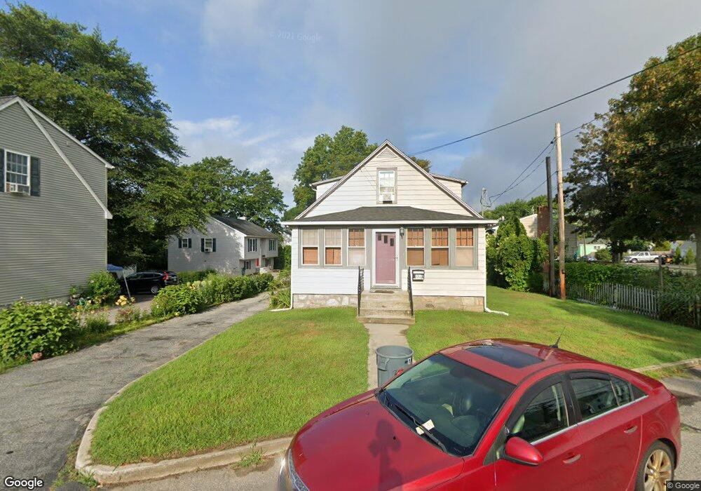
133 Benham Rd Unit R Groton, CT 06340
Estimated Value: $437,000 - $516,648
2
Beds
1
Bath
800
Sq Ft
$589/Sq Ft
Est. Value
About This Home
This home is located at 133 Benham Rd Unit R, Groton, CT 06340 and is currently estimated at $471,412, approximately $589 per square foot. 133 Benham Rd Unit R is a home located in New London County with nearby schools including Catherine Kolnaski STEAM Magnet School, Groton Middle School, and Robert E. Fitch High School.
Ownership History
Date
Name
Owned For
Owner Type
Purchase Details
Closed on
Aug 1, 2008
Sold by
Strum Randon C
Bought by
Mason Kimberly R
Current Estimated Value
Home Financials for this Owner
Home Financials are based on the most recent Mortgage that was taken out on this home.
Original Mortgage
$316,082
Interest Rate
6.47%
Purchase Details
Closed on
Jun 5, 1998
Sold by
Apicelli Amedeo N
Bought by
Sturm Randon C and Scaduto Scott
Create a Home Valuation Report for This Property
The Home Valuation Report is an in-depth analysis detailing your home's value as well as a comparison with similar homes in the area
Home Values in the Area
Average Home Value in this Area
Purchase History
| Date | Buyer | Sale Price | Title Company |
|---|---|---|---|
| Mason Kimberly R | $315,000 | -- | |
| Sturm Randon C | $140,000 | -- |
Source: Public Records
Mortgage History
| Date | Status | Borrower | Loan Amount |
|---|---|---|---|
| Open | Sturm Randon C | $305,042 | |
| Closed | Sturm Randon C | $316,082 | |
| Previous Owner | Sturm Randon C | $53,100 | |
| Previous Owner | Sturm Randon C | $45,000 |
Source: Public Records
Tax History Compared to Growth
Tax History
| Year | Tax Paid | Tax Assessment Tax Assessment Total Assessment is a certain percentage of the fair market value that is determined by local assessors to be the total taxable value of land and additions on the property. | Land | Improvement |
|---|---|---|---|---|
| 2025 | $6,480 | $224,140 | $103,306 | $120,834 |
| 2024 | $6,027 | $224,140 | $103,306 | $120,834 |
| 2023 | $5,783 | $224,140 | $51,520 | $172,620 |
| 2022 | $5,592 | $224,140 | $51,520 | $172,620 |
| 2021 | $5,324 | $175,840 | $33,600 | $142,240 |
| 2020 | $5,171 | $175,840 | $33,600 | $142,240 |
| 2019 | $5,006 | $175,840 | $33,600 | $142,240 |
| 2018 | $5,055 | $175,840 | $33,600 | $142,240 |
| 2017 | $5,073 | $175,840 | $33,600 | $142,240 |
| 2016 | $4,898 | $180,320 | $41,790 | $138,530 |
| 2015 | $4,836 | $180,320 | $41,790 | $138,530 |
| 2014 | $4,499 | $180,320 | $41,790 | $138,530 |
Source: Public Records
Map
Nearby Homes
- 43 George Ave Unit B
- 3 George Ave
- 33 George Ave Unit B
- 41 Joe Ave
- 55 Virginia Ave Unit C
- 51 Warner St
- 42 Godfrey St
- 74 Twin Hills Dr
- 14 Denison Ave
- 262 Mitchell St
- 181 Mirra Dr
- 146 Mirra Dr
- 62 Slocomb Terrace
- 292 Meridian St Unit C
- 170 Meridian St
- 136 Meridian St Unit 103
- 63 Johl Dr
- 411 Long Hill Rd
- 520 Shennecossett Rd Unit J
- 42 A St
- 133 Benham Rd Unit A
- 133 Benham Rd Unit B
- 133 Benham Rd
- 133R Benham Rd
- 135 Benham Rd
- 10 W Elderkin Ave
- 0 W Elderkin Ave
- 137 Benham Rd
- 145 Benham Rd
- 18 W Elderkin Ave
- 139 Benham Rd
- 7 Elderkin Ave
- 0 Elderkin Ave Unit E10021508
- 115 Benham Rd
- 4 Elderkin Ave
- 142 Benham Rd
- 24 W Elderkin Ave
- 26 W Elderkin Ave
- 15 Elderkin Ave
- 116 Benham Rd