133 Burnham Rd Gorham, ME 04038
Estimated Value: $837,000 - $1,248,542
5
Beds
3
Baths
4,232
Sq Ft
$253/Sq Ft
Est. Value
About This Home
This home is located at 133 Burnham Rd, Gorham, ME 04038 and is currently estimated at $1,072,386, approximately $253 per square foot. 133 Burnham Rd is a home with nearby schools including Narragansett Elementary School, Gorham Middle School, and Gorham High School.
Ownership History
Date
Name
Owned For
Owner Type
Purchase Details
Closed on
Sep 10, 2018
Sold by
Morrill David P
Bought by
Shannon Huckaby Lt
Current Estimated Value
Purchase Details
Closed on
Jan 5, 2018
Sold by
Morrill David P
Bought by
Albright Kathryn A
Purchase Details
Closed on
Dec 22, 2016
Sold by
Deering Roland W and Deering Constance P
Bought by
Morrill David P
Create a Home Valuation Report for This Property
The Home Valuation Report is an in-depth analysis detailing your home's value as well as a comparison with similar homes in the area
Home Values in the Area
Average Home Value in this Area
Purchase History
| Date | Buyer | Sale Price | Title Company |
|---|---|---|---|
| Shannon Huckaby Lt | -- | -- | |
| Albright Kathryn A | -- | -- | |
| Morrill David P | -- | -- |
Source: Public Records
Tax History
| Year | Tax Paid | Tax Assessment Tax Assessment Total Assessment is a certain percentage of the fair market value that is determined by local assessors to be the total taxable value of land and additions on the property. | Land | Improvement |
|---|---|---|---|---|
| 2025 | $13,171 | $889,900 | $119,800 | $770,100 |
| 2024 | $13,082 | $889,900 | $119,800 | $770,100 |
| 2023 | $12,236 | $889,900 | $119,800 | $770,100 |
| 2022 | $11,435 | $889,900 | $119,800 | $770,100 |
| 2021 | $11,271 | $581,000 | $91,800 | $489,200 |
| 2020 | $3,986 | $581,000 | $91,800 | $489,200 |
| 2019 | $11,010 | $581,000 | $91,800 | $489,200 |
| 2018 | $10,574 | $581,000 | $91,800 | $489,200 |
| 2017 | $9,552 | $558,600 | $69,400 | $489,200 |
| 2016 | $9,496 | $558,600 | $69,400 | $489,200 |
| 2015 | $8,973 | $550,500 | $71,400 | $479,100 |
| 2014 | $919 | $52,800 | $52,800 | $0 |
| 2013 | $913 | $52,800 | $52,800 | $0 |
Source: Public Records
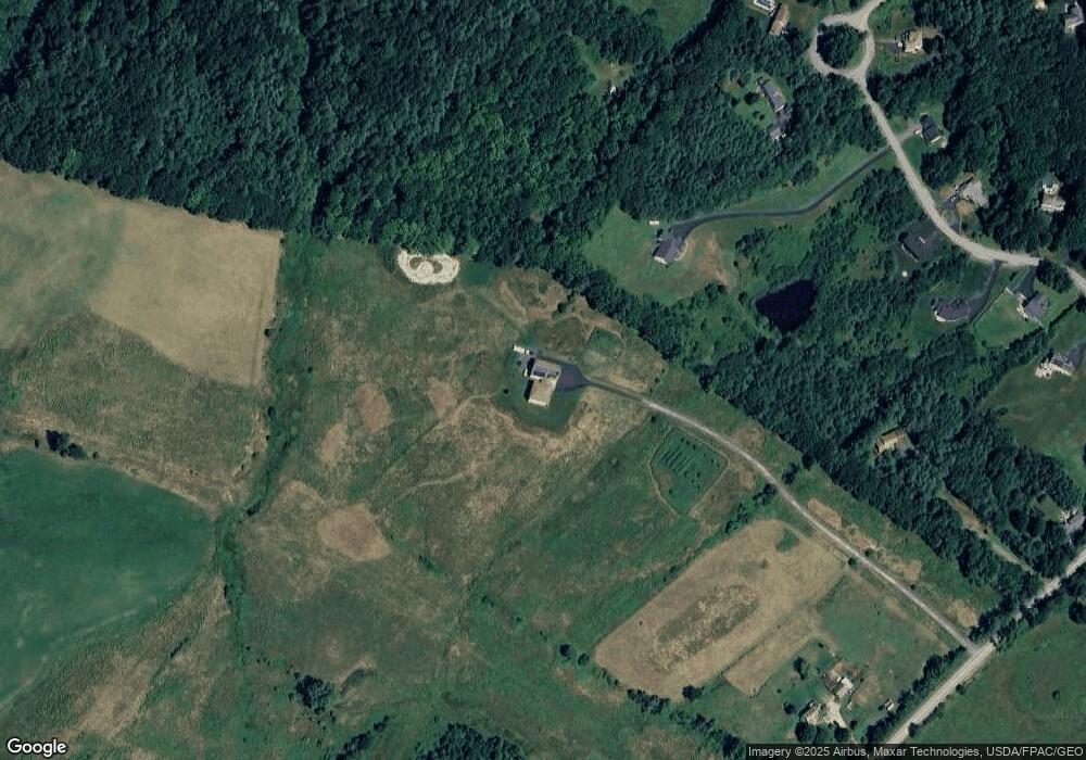
Map
Nearby Homes
- 5 Forest Cir
- lot 2 Meserve Farm Rd
- 4 Meserve Farm Rd
- 10 Cowbell Dr
- 213 Burnham Rd
- 4 Small Pond Rd
- 12 Maple Dr
- 64 Maple Dr
- 3 S Branch Dr
- 3 Dunn Estates Dr
- 12 David Dr
- 14 David Dr
- Lot 72 Martell Way
- 16 Thistle Dr Unit C
- 00 Deering Dr
- 77 Beech Ridge Rd
- 138 Beech Ridge Rd
- 8 Peaceful Ln
- 25 Fairway Commons Dr Unit 7
- 20 Fairway Commons Dr Unit 2
- 24 Mountview Dr
- 129 Burnham Rd
- 30 Mountview Dr
- 16 Mountview
- 143 Burnham Rd
- 32 Mountview Dr
- 31 Plowman Rd
- 38B Hodgdon Rd
- 21 Mountview Dr
- 17 Mountview Dr
- Lot 9 Mountview Dr
- Lot 8 Mountview Dr
- Lot 7 Mountview Dr
- Lot 5 Mountview Dr
- Lot 6 Mountview Dr
- Lot 2 Mountview Dr
- Lot 10 Mountview Dr
- TBD Burnham Rd
- 00 Mountview Dr
- 12 Mountview Dr
Your Personal Tour Guide
Ask me questions while you tour the home.