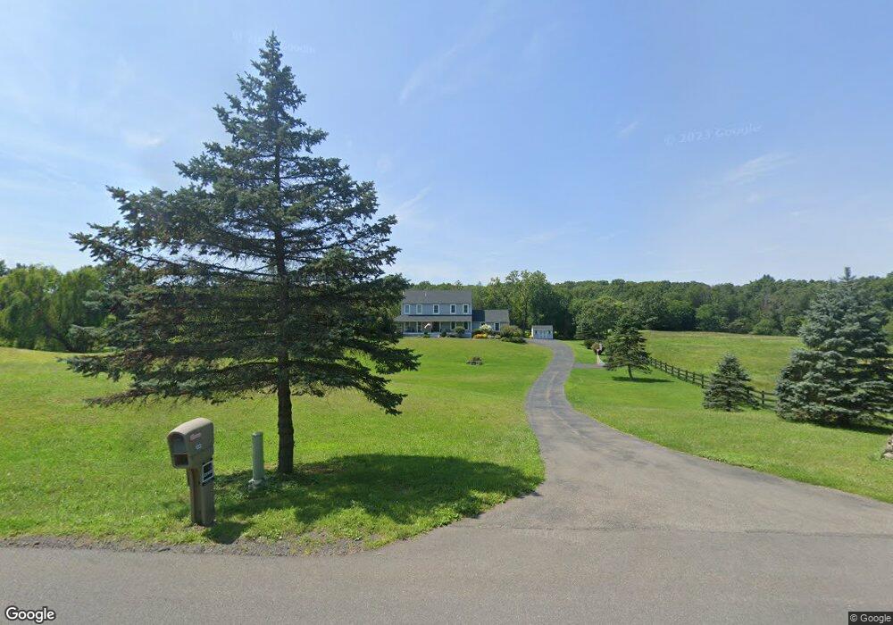
133 Commons Rd Germantown, NY 12526
Estimated Value: $842,000 - $925,249
4
Beds
3
Baths
2,576
Sq Ft
$338/Sq Ft
Est. Value
About This Home
This home is located at 133 Commons Rd, Germantown, NY 12526 and is currently estimated at $869,562, approximately $337 per square foot. 133 Commons Rd is a home located in Columbia County with nearby schools including Mill Road Primary School, Mill Road Intermediate School, and Linden Avenue Middle School.
Ownership History
Date
Name
Owned For
Owner Type
Purchase Details
Closed on
Nov 2, 2015
Sold by
Kyle Robin L
Bought by
Fenn-Potter Kristin R and Potter Ii
Current Estimated Value
Home Financials for this Owner
Home Financials are based on the most recent Mortgage that was taken out on this home.
Original Mortgage
$312,777
Outstanding Balance
$239,091
Interest Rate
3.88%
Mortgage Type
New Conventional
Estimated Equity
$630,471
Purchase Details
Closed on
Jul 9, 1999
Sold by
Fenn Ross M
Bought by
Kyle James A
Create a Home Valuation Report for This Property
The Home Valuation Report is an in-depth analysis detailing your home's value as well as a comparison with similar homes in the area
Home Values in the Area
Average Home Value in this Area
Purchase History
| Date | Buyer | Sale Price | Title Company |
|---|---|---|---|
| Fenn-Potter Kristin R | $365,000 | Jeffrey C Martin Esq | |
| Kyle James A | $30,000 | Paul G Wyner |
Source: Public Records
Mortgage History
| Date | Status | Borrower | Loan Amount |
|---|---|---|---|
| Open | Fenn-Potter Kristin R | $312,777 |
Source: Public Records
Tax History
| Year | Tax Paid | Tax Assessment Tax Assessment Total Assessment is a certain percentage of the fair market value that is determined by local assessors to be the total taxable value of land and additions on the property. | Land | Improvement |
|---|---|---|---|---|
| 2024 | $14,743 | $733,000 | $140,500 | $592,500 |
| 2023 | $12,175 | $432,000 | $116,594 | $315,406 |
| 2022 | $11,755 | $432,000 | $116,594 | $315,406 |
| 2021 | $10,793 | $360,000 | $116,594 | $243,406 |
| 2020 | $9,830 | $360,000 | $116,594 | $243,406 |
| 2019 | $8,712 | $360,000 | $120,200 | $239,800 |
| 2018 | $8,712 | $304,000 | $101,700 | $202,300 |
| 2017 | $9,460 | $304,000 | $101,700 | $202,300 |
| 2016 | $2,187 | $304,000 | $101,700 | $202,300 |
| 2015 | -- | $304,000 | $101,700 | $202,300 |
| 2014 | -- | $292,000 | $101,700 | $190,300 |
Source: Public Records
Map
Nearby Homes
- 1626 Route 9
- 49 Fox Ln
- 207 Pleasantvale Rd
- 239 Pleasantvale Rd
- 0 Pleasantvale Rd
- 0 County Route 6
- 20 Pine Rd
- 202 Buckwheat Rd
- 202 Buckwheat Bridge Rd
- 1632 County Route 8
- 54 Shore Dr
- 70 Shore Dr
- 0 South Rd
- 0 E Kerley Corners Rd Unit KEY939271
- 475 E Kerley Corners Rd
- 15 Snyderville Rd
- 37 Williams Rd
- 0 Cedar Dr
- 0 County Road 19 Unit KEYM373078
- 238 Lasher Rd
- 133 Commons Rd
- 149 Commons Rd
- 161 Commons Rd
- 0 Trout Creek Rd Unit 324283
- 0 Trout Creek Rd Unit 79371
- 0 Trout Creek Rd Unit 53643
- 0 Trout Creek Rd Unit 74672
- 0 Trout Creek Rd Unit 54221
- 0 Trout Creek Rd Unit 95083
- 118 Commons Rd
- 138 Commons Rd
- 138 Commons Rd
- 140 Commons Rd
- 140 Commons Rd
- 169 Commons Rd
- 162 Commons Rd
- 162 Commons Rd
- 99 Commons Rd
- 175 Commons Rd
- 86 Commons Rd
Your Personal Tour Guide
Ask me questions while you tour the home.