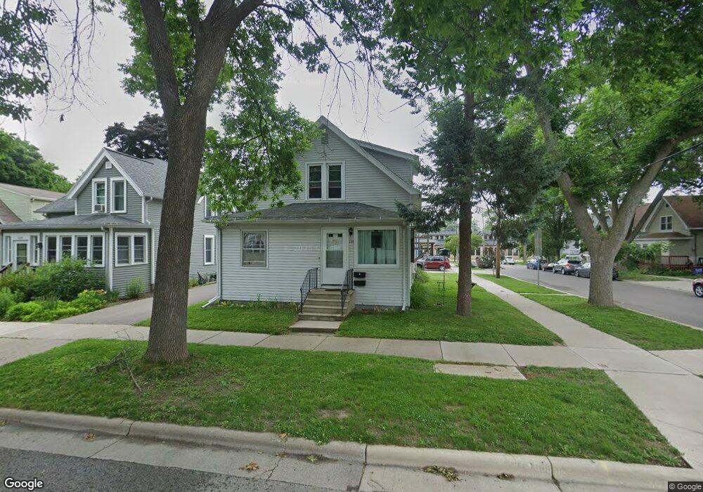
133 Corry St Unit 1 Madison, WI 53704
Atwood NeighborhoodEstimated Value: $345,000 - $389,000
2
Beds
2
Baths
1,274
Sq Ft
$293/Sq Ft
Est. Value
About This Home
This home is located at 133 Corry St Unit 1, Madison, WI 53704 and is currently estimated at $372,877, approximately $292 per square foot. 133 Corry St Unit 1 is a home located in Dane County with nearby schools including Lowell Elementary School, O'Keeffe Middle, and East High School.
Ownership History
Date
Name
Owned For
Owner Type
Purchase Details
Closed on
Apr 6, 2015
Sold by
Soule Patrick L and Soule Susan J
Bought by
Mackesey Michael and Mackesey Donna
Current Estimated Value
Home Financials for this Owner
Home Financials are based on the most recent Mortgage that was taken out on this home.
Original Mortgage
$100,000
Outstanding Balance
$57,250
Interest Rate
3.77%
Mortgage Type
New Conventional
Estimated Equity
$315,627
Create a Home Valuation Report for This Property
The Home Valuation Report is an in-depth analysis detailing your home's value as well as a comparison with similar homes in the area
Home Values in the Area
Average Home Value in this Area
Purchase History
| Date | Buyer | Sale Price | Title Company |
|---|---|---|---|
| Mackesey Michael | $80,000 | None Available |
Source: Public Records
Mortgage History
| Date | Status | Borrower | Loan Amount |
|---|---|---|---|
| Open | Mackesey Michael | $100,000 |
Source: Public Records
Tax History
| Year | Tax Paid | Tax Assessment Tax Assessment Total Assessment is a certain percentage of the fair market value that is determined by local assessors to be the total taxable value of land and additions on the property. | Land | Improvement |
|---|---|---|---|---|
| 2024 | $10,749 | $308,300 | $71,600 | $236,700 |
| 2023 | $5,178 | $288,100 | $71,600 | $216,500 |
| 2022 | $10,404 | $266,800 | $66,300 | $200,500 |
| 2021 | $4,881 | $231,000 | $63,100 | $167,900 |
| 2020 | $4,727 | $213,900 | $58,400 | $155,500 |
| 2019 | $4,516 | $203,700 | $51,700 | $152,000 |
| 2018 | $4,210 | $190,400 | $51,700 | $138,700 |
| 2017 | $4,071 | $177,900 | $43,100 | $134,800 |
| 2016 | $3,981 | $169,400 | $43,100 | $126,300 |
| 2015 | $3,827 | $156,600 | $43,100 | $113,500 |
| 2014 | $3,716 | $156,600 | $43,100 | $113,500 |
| 2013 | $3,393 | $150,600 | $41,400 | $109,200 |
Source: Public Records
Map
Nearby Homes
- 2418 Bashford Ave
- 256 Waubesa St
- 206 Dixon St
- 2528 E Washington Ave
- 2205 Winnebago St
- 3014 Union St
- 2146 Winnebago St
- 2670 Hoard St Unit 1
- 2330 Upham St
- 2617 Hoard St
- 3401 Dawes St Unit 1
- 2122 E Johnson St
- 2852 Commercial Ave
- 2025 E Dayton St
- 1835 Winnebago St Unit 207
- 3606 Atwood Ave
- 914 N Oak St
- 129 Walter St
- 816 Melvin Ct Unit 1
- 3218 Quincy Ave
- 129 Corry St Unit 2
- 125 Corry St
- 2714 La Follette Ave
- 137 Corry St
- 2709 La Follette Ave
- 121 Corry St
- 141 Corry St
- 122 Waubesa St
- 2711 La Follette Ave
- 2722 La Follette Ave Unit 2
- 117 Corry St Unit 1
- 2713 La Follette Ave
- 130 Corry St
- 2622 La Follette Ave
- 145 Corry St
- 113 Corry St
- 126 Corry St
- 2715 La Follette Ave
- 2715 Lafollette Ave
- 138 Corry St
Your Personal Tour Guide
Ask me questions while you tour the home.