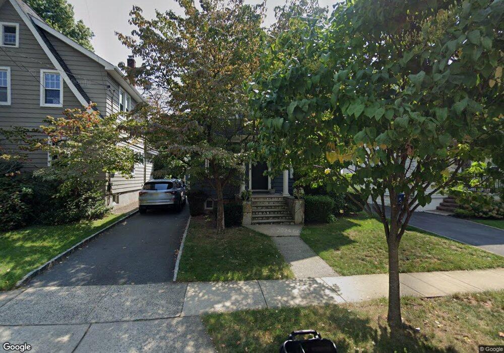
133 Demarest Ave Bloomfield, NJ 07003
Estimated Value: $571,917 - $710,000
3
Beds
3
Baths
1,336
Sq Ft
$474/Sq Ft
Est. Value
About This Home
This home is located at 133 Demarest Ave, Bloomfield, NJ 07003 and is currently estimated at $633,229, approximately $473 per square foot. 133 Demarest Ave is a home located in Essex County with nearby schools including Oak View School, Bloomfield Middle School, and Bloomfield High School.
Ownership History
Date
Name
Owned For
Owner Type
Purchase Details
Closed on
Nov 28, 2006
Sold by
Volski Jody
Bought by
Collado Ronald and Collado Elizabeth Lara
Current Estimated Value
Home Financials for this Owner
Home Financials are based on the most recent Mortgage that was taken out on this home.
Original Mortgage
$316,000
Outstanding Balance
$188,930
Interest Rate
6.31%
Mortgage Type
New Conventional
Estimated Equity
$444,299
Create a Home Valuation Report for This Property
The Home Valuation Report is an in-depth analysis detailing your home's value as well as a comparison with similar homes in the area
Home Values in the Area
Average Home Value in this Area
Purchase History
| Date | Buyer | Sale Price | Title Company |
|---|---|---|---|
| Collado Ronald | $395,000 | -- |
Source: Public Records
Mortgage History
| Date | Status | Borrower | Loan Amount |
|---|---|---|---|
| Open | Collado Ronald | $316,000 |
Source: Public Records
Tax History
| Year | Tax Paid | Tax Assessment Tax Assessment Total Assessment is a certain percentage of the fair market value that is determined by local assessors to be the total taxable value of land and additions on the property. | Land | Improvement |
|---|---|---|---|---|
| 2025 | $12,496 | $368,400 | $195,400 | $173,000 |
| 2024 | $12,039 | $368,400 | $195,400 | $173,000 |
| 2022 | $11,796 | $368,400 | $195,400 | $173,000 |
| 2021 | $11,579 | $368,400 | $195,400 | $173,000 |
| 2020 | $11,402 | $368,400 | $195,400 | $173,000 |
| 2019 | $12,110 | $304,200 | $179,000 | $125,200 |
| 2018 | $12,058 | $304,200 | $179,000 | $125,200 |
| 2017 | $11,876 | $304,200 | $179,000 | $125,200 |
| 2016 | $11,742 | $304,200 | $179,000 | $125,200 |
| 2015 | $11,636 | $304,200 | $179,000 | $125,200 |
| 2014 | $11,423 | $304,200 | $179,000 | $125,200 |
Source: Public Records
Map
Nearby Homes
- 129 Demarest Ave
- 135 Demarest Ave
- 125 Demarest Ave
- 139 Demarest Ave
- 134 Sylvan Rd
- 130 Sylvan Rd
- 136 Sylvan Rd
- 126 Sylvan Rd
- 140 Sylvan Rd
- 134 Demarest Ave
- 130 Demarest Ave
- 136 Demarest Ave
- 124 Sylvan Rd
- 119 Demarest Ave
- 126 Demarest Ave
- 140 Demarest Ave
- 120 Sylvan Rd
- 124 Demarest Ave
- 117 Demarest Ave
- 120 Demarest Ave
Your Personal Tour Guide
Ask me questions while you tour the home.