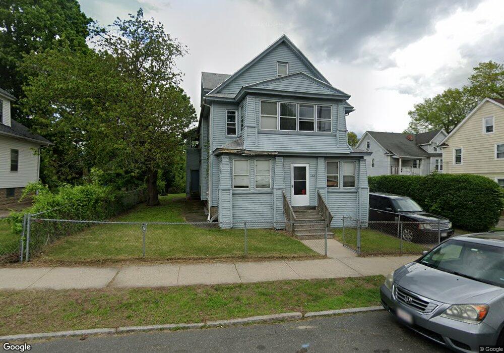
133 Dunmoreland St Unit 135 Springfield, MA 01109
Upper Hill NeighborhoodEstimated Value: $293,366 - $365,000
5
Beds
3
Baths
3,076
Sq Ft
$106/Sq Ft
Est. Value
About This Home
This home is located at 133 Dunmoreland St Unit 135, Springfield, MA 01109 and is currently estimated at $327,342, approximately $106 per square foot. 133 Dunmoreland St Unit 135 is a home located in Hampden County with nearby schools including Mary M. Walsh Elementary School, M Marcus Kiley Middle, and Springfield High School of Science and Technology.
Ownership History
Date
Name
Owned For
Owner Type
Purchase Details
Closed on
Nov 29, 2017
Sold by
Hill William
Bought by
Sheppard Keith R
Current Estimated Value
Purchase Details
Closed on
Jul 28, 2017
Sold by
Sheppard Keith R and Hill-Jacobs Eleanor L
Bought by
Hill William
Purchase Details
Closed on
Apr 14, 2014
Sold by
Hill-Jacobs Eleanor L
Bought by
Sheppard Keith R
Purchase Details
Closed on
Jun 11, 2010
Sold by
Jacobs Warner
Bought by
Jacobs Warner and Moore Sheila
Purchase Details
Closed on
Jul 22, 2009
Sold by
Jacobs Warner
Bought by
Jacobs Warner and Hill-Jacobs Eleanor L
Create a Home Valuation Report for This Property
The Home Valuation Report is an in-depth analysis detailing your home's value as well as a comparison with similar homes in the area
Home Values in the Area
Average Home Value in this Area
Purchase History
| Date | Buyer | Sale Price | Title Company |
|---|---|---|---|
| Sheppard Keith R | -- | -- | |
| Hill William | -- | -- | |
| Sheppard Keith R | -- | -- | |
| Jacobs Warner | -- | -- | |
| Jacobs Warner | -- | -- |
Source: Public Records
Tax History Compared to Growth
Tax History
| Year | Tax Paid | Tax Assessment Tax Assessment Total Assessment is a certain percentage of the fair market value that is determined by local assessors to be the total taxable value of land and additions on the property. | Land | Improvement |
|---|---|---|---|---|
| 2025 | $3,600 | $229,600 | $31,100 | $198,500 |
| 2024 | $3,363 | $209,400 | $31,100 | $178,300 |
| 2023 | $3,427 | $201,000 | $28,300 | $172,700 |
| 2022 | $4,114 | $218,600 | $26,400 | $192,200 |
| 2021 | $3,030 | $160,300 | $18,700 | $141,600 |
| 2020 | $3,056 | $156,500 | $18,700 | $137,800 |
| 2019 | $2,686 | $136,500 | $16,000 | $120,500 |
| 2018 | $2,485 | $133,800 | $16,000 | $117,800 |
| 2017 | $2,485 | $126,400 | $15,000 | $111,400 |
| 2016 | $2,155 | $109,600 | $15,000 | $94,600 |
| 2015 | $2,120 | $107,800 | $15,000 | $92,800 |
Source: Public Records
Map
Nearby Homes
- 21 Westford Cir
- 179 Albemarle St
- 192-194 Westford Ave
- 124-126 Westford Cir
- 88 Dunmoreland St
- 162 Northampton Ave
- 140 Northampton Ave
- 19 Westford Ave
- 135-137 Suffolk St
- 0 NS (24) Alden St
- 129 Eastern Ave
- 290 Quincy St
- 158 Norfolk St
- 62-64 Bristol St
- 111 Marlborough St
- 705-707 Union St
- 67 Carlisle St
- 183 Pendleton Ave
- 43 Colonial Ave
- 108 Alden St
- 129 Dunmoreland St
- 68-70 Westford Cir
- 62 Westford Cir Unit 64
- 68 Westford Cir Unit 70
- 68 Westford Cir Unit 1
- 72 Westford Cir Unit 74
- 130 Albemarle St
- 123 Dunmoreland St
- 78 Westford Cir
- 52 Westford Cir Unit 54
- 136 Dunmoreland St Unit 138
- 124 Albemarle St
- 130 Dunmoreland St
- 124 Dunmoreland St Unit 126
- 46 Westford Cir Unit 48
- 118 Albemarle St Unit 120
- 117 Dunmoreland St
- 116 Dunmoreland St Unit 118
- 109 Dunmoreland St
- 135 Albemarle St