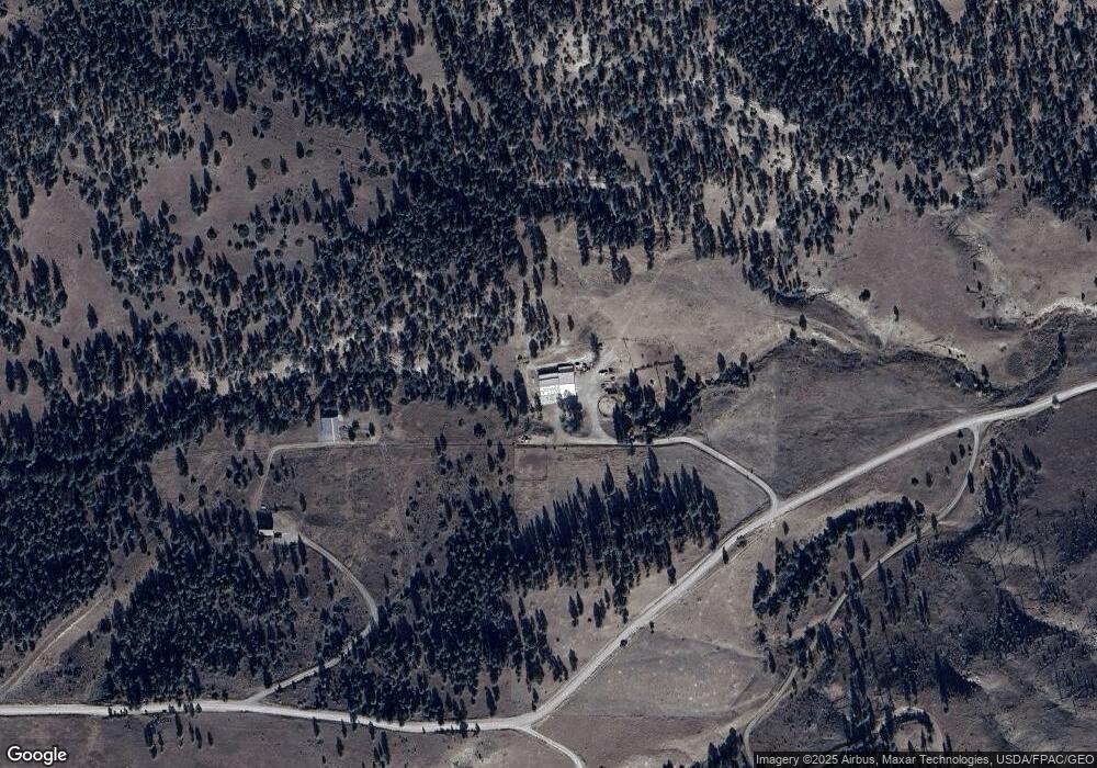
133 Haystack Coulee Rd Reed Point, MT 59069
Estimated Value: $479,000 - $643,000
3
Beds
2
Baths
2,304
Sq Ft
$243/Sq Ft
Est. Value
About This Home
This home is located at 133 Haystack Coulee Rd, Reed Point, MT 59069 and is currently estimated at $560,674, approximately $243 per square foot. 133 Haystack Coulee Rd is a home located in Stillwater County with nearby schools including Reed Point Elementary School, Reed Point 7-8, and Reed Point High School.
Ownership History
Date
Name
Owned For
Owner Type
Purchase Details
Closed on
Feb 14, 2017
Bought by
Cahoon Ben R
Current Estimated Value
Purchase Details
Closed on
Mar 2, 2011
Sold by
Martin Kenneth James and Martin Kenneth J
Bought by
Martin Kenneth J
Purchase Details
Closed on
Dec 8, 2009
Sold by
Diane Watson E and Diane Thacker E
Bought by
Martin Kenneth James and Martin Kenneth J
Create a Home Valuation Report for This Property
The Home Valuation Report is an in-depth analysis detailing your home's value as well as a comparison with similar homes in the area
Purchase History
| Date | Buyer | Sale Price | Title Company |
|---|---|---|---|
| Cahoon Ben R | -- | -- | |
| Martin Kenneth J | -- | -- | |
| Martin Kenneth James | -- | -- |
Source: Public Records
Tax History
| Year | Tax Paid | Tax Assessment Tax Assessment Total Assessment is a certain percentage of the fair market value that is determined by local assessors to be the total taxable value of land and additions on the property. | Land | Improvement |
|---|---|---|---|---|
| 2025 | $2,546 | $535,405 | $0 | $0 |
| 2024 | $2,908 | $429,497 | $0 | $0 |
| 2023 | $2,934 | $429,497 | $0 | $0 |
| 2022 | $2,107 | $280,362 | $0 | $0 |
| 2021 | $1,972 | $280,362 | $0 | $0 |
| 2020 | $2,265 | $294,959 | $0 | $0 |
| 2019 | $2,309 | $286,549 | $0 | $0 |
| 2018 | $1,756 | $235,135 | $0 | $0 |
| 2017 | $1,680 | $235,135 | $0 | $0 |
| 2016 | $1,399 | $173,097 | $0 | $0 |
| 2015 | $1,236 | $173,097 | $0 | $0 |
| 2014 | $1,011 | $74,167 | $0 | $0 |
Source: Public Records
Map
Nearby Homes
- 94 Owl Canyon Rd
- 88 Cougar Trail
- TBD Sunrise Dr
- 51 Haystack Coulee Rd
- 27 Kestel Trail
- LOT 215 Coyote Pass
- 26 O'Dare Dr
- 9 Lost Cache Rd
- 564a Countryman Creek Rd
- 20 Elkhorn Rd
- TBD Brumfield RD Brumfield Rd
- 26 Yates Rd
- 30 Bear Wolf
- 42 Bozeman Trail
- 158 N Fork Eagle Mountain Rd
- 630 Rapelje Rd
- TBD Frontage Rd
- 407 Granite Peak Dr
- TBD Centennial Rd
- 79 Myers Rd
- 107 Haystack Coulee Rd
- 93 Haystack Coulee Rd
- 147 Haystack Coulee Rd
- TRACT 154 Owl Canyon Rd
- TRACT 154 Owl Canyon Road Rd
- TBD Owl Canyon Rd
- NHN Owl Canyon Rd
- 00 Owl Canyon Rd
- 140 Owl Canyon Rd
- 142 Owl Canyon Rd
- 186 Owl Canyon Rd
- TBD Haystack Coulee
- 83 Haystack Coulee Rd
- 143 Owl Canyon Rd
- TBD Cougar Trail
- Lot 79 & 80 Haystack Coulee
- TBD Owl Canyon
- Nhn Sunrise Dr
- 80 Haystack Coulee Rd
- 19 Granite Peak Rd
