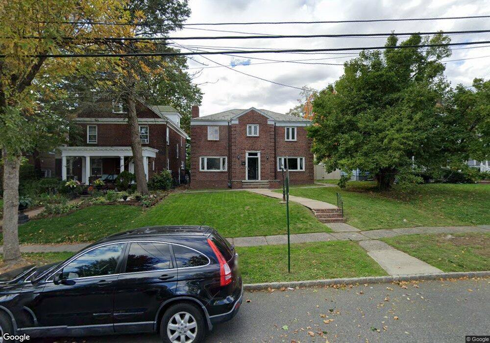
133 High St Perth Amboy, NJ 08861
The Waterfront NeighborhoodEstimated Value: $554,000 - $648,824
3
Beds
3
Baths
2,402
Sq Ft
$250/Sq Ft
Est. Value
About This Home
This home is located at 133 High St, Perth Amboy, NJ 08861 and is currently estimated at $601,456, approximately $250 per square foot. 133 High St is a home located in Middlesex County with nearby schools including Perth Amboy High School, Middlesex County STEM Charter School, and Academy for Urban Leadership Charter School.
Ownership History
Date
Name
Owned For
Owner Type
Purchase Details
Closed on
Mar 10, 2013
Sold by
Tamargo Armando and Tamargo Sara
Bought by
Rodgers Taiwan and Ofray Milagros
Current Estimated Value
Home Financials for this Owner
Home Financials are based on the most recent Mortgage that was taken out on this home.
Original Mortgage
$291,620
Outstanding Balance
$205,415
Interest Rate
3.5%
Mortgage Type
FHA
Estimated Equity
$396,041
Purchase Details
Closed on
Sep 27, 2006
Sold by
Trustees Of The Presbyterian C
Bought by
Tamargo Armando and Tamargo Sara
Home Financials for this Owner
Home Financials are based on the most recent Mortgage that was taken out on this home.
Original Mortgage
$86,000
Interest Rate
6.47%
Create a Home Valuation Report for This Property
The Home Valuation Report is an in-depth analysis detailing your home's value as well as a comparison with similar homes in the area
Home Values in the Area
Average Home Value in this Area
Purchase History
| Date | Buyer | Sale Price | Title Company |
|---|---|---|---|
| Rodgers Taiwan | $297,000 | None Available | |
| Tamargo Armando | $450,000 | -- |
Source: Public Records
Mortgage History
| Date | Status | Borrower | Loan Amount |
|---|---|---|---|
| Open | Rodgers Taiwan | $291,620 | |
| Previous Owner | Tamargo Armando | $86,000 |
Source: Public Records
Tax History Compared to Growth
Tax History
| Year | Tax Paid | Tax Assessment Tax Assessment Total Assessment is a certain percentage of the fair market value that is determined by local assessors to be the total taxable value of land and additions on the property. | Land | Improvement |
|---|---|---|---|---|
| 2025 | $10,258 | $340,000 | $166,400 | $173,600 |
| 2024 | $10,237 | $340,000 | $166,400 | $173,600 |
| 2023 | $10,237 | $340,000 | $166,400 | $173,600 |
| 2022 | $10,115 | $340,000 | $166,400 | $173,600 |
| 2021 | $10,129 | $340,000 | $166,400 | $173,600 |
| 2020 | $10,125 | $340,000 | $166,400 | $173,600 |
| 2019 | $10,163 | $340,000 | $166,400 | $173,600 |
| 2018 | $10,074 | $340,000 | $166,400 | $173,600 |
| 2017 | $10,054 | $340,000 | $166,400 | $173,600 |
| 2016 | $9,792 | $340,000 | $166,400 | $173,600 |
| 2015 | $9,860 | $340,000 | $166,400 | $173,600 |
| 2014 | $9,921 | $340,000 | $166,400 | $173,600 |
Source: Public Records
Map
Nearby Homes
- 112 Catalpa Ave
- 102 Madison Ave
- 187 Gordon St
- 136 1st St
- 55 Smith St
- 283 Water St
- 87-89 1st St
- 318 High St
- 331 Rector St Unit B
- 358 Rector St Unit 310
- 358 Rector St
- 368 Rector St Unit 501
- 368 Rector St Unit 413
- 368 Rector St Unit 512
- 267 Elm St
- 278 Market St
- 395 Mechanic St
- 0-50-52 Broad St
- 399 Park Ave
- 374 Oak St