133 James Rd Unit 2D High Point, NC 27265
Oak View NeighborhoodEstimated Value: $167,965 - $183,000
2
Beds
2
Baths
1,000
Sq Ft
$176/Sq Ft
Est. Value
About This Home
This home is located at 133 James Rd Unit 2D, High Point, NC 27265 and is currently estimated at $175,991, approximately $175 per square foot. 133 James Rd Unit 2D is a home located in Guilford County with nearby schools including Oak View Elementary School, Welborn Academy of Science & Technology, and T.W. Andrews High School.
Ownership History
Date
Name
Owned For
Owner Type
Purchase Details
Closed on
May 25, 2023
Sold by
Chourasia Sachin and Chourasia Neeti
Bought by
Navyahaan Real State Llc
Current Estimated Value
Purchase Details
Closed on
Aug 6, 2007
Sold by
Rickard Benney Tallant
Bought by
Barts Ronald
Home Financials for this Owner
Home Financials are based on the most recent Mortgage that was taken out on this home.
Original Mortgage
$86,500
Interest Rate
6.63%
Mortgage Type
Purchase Money Mortgage
Purchase Details
Closed on
Aug 12, 2003
Sold by
John Kavanagh Co
Bought by
Rickard Benney Tallant
Home Financials for this Owner
Home Financials are based on the most recent Mortgage that was taken out on this home.
Original Mortgage
$86,000
Interest Rate
5.42%
Mortgage Type
Purchase Money Mortgage
Create a Home Valuation Report for This Property
The Home Valuation Report is an in-depth analysis detailing your home's value as well as a comparison with similar homes in the area
Home Values in the Area
Average Home Value in this Area
Purchase History
| Date | Buyer | Sale Price | Title Company |
|---|---|---|---|
| Navyahaan Real State Llc | -- | None Listed On Document | |
| Barts Ronald | $86,500 | None Available | |
| Rickard Benney Tallant | $86,000 | -- |
Source: Public Records
Mortgage History
| Date | Status | Borrower | Loan Amount |
|---|---|---|---|
| Previous Owner | Barts Ronald | $86,500 | |
| Previous Owner | Rickard Benney Tallant | $86,000 |
Source: Public Records
Tax History
| Year | Tax Paid | Tax Assessment Tax Assessment Total Assessment is a certain percentage of the fair market value that is determined by local assessors to be the total taxable value of land and additions on the property. | Land | Improvement |
|---|---|---|---|---|
| 2025 | $1,247 | $90,500 | $18,000 | $72,500 |
| 2024 | $1,247 | $86,500 | $18,000 | $68,500 |
| 2023 | $1,247 | $86,500 | $18,000 | $68,500 |
| 2022 | $1,220 | $90,500 | $18,000 | $72,500 |
| 2021 | $985 | $71,500 | $12,000 | $59,500 |
| 2020 | $985 | $71,500 | $12,000 | $59,500 |
| 2019 | $985 | $71,500 | $0 | $0 |
| 2018 | $980 | $71,500 | $0 | $0 |
| 2017 | $980 | $71,500 | $0 | $0 |
| 2016 | $1,059 | $75,500 | $0 | $0 |
| 2015 | $1,065 | $75,500 | $0 | $0 |
| 2014 | $1,083 | $75,500 | $0 | $0 |
Source: Public Records
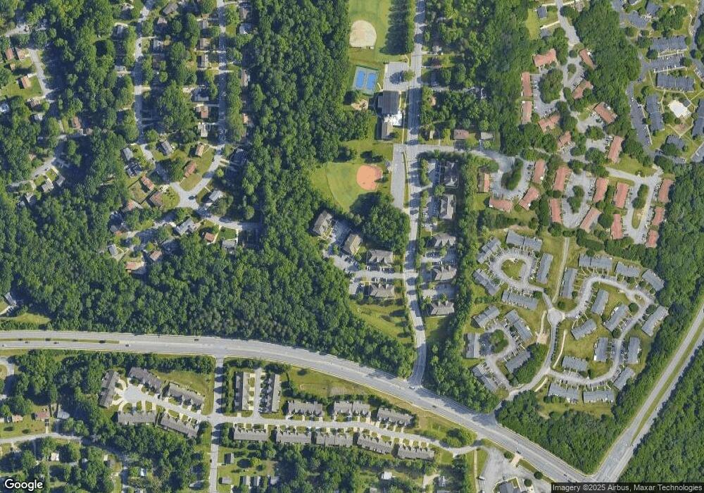
Map
Nearby Homes
- 131 James Rd Unit 2B
- 131 James Rd Unit 3C
- 120 James Rd Unit 3B
- 3104 Rolling Rd
- 520 James Rd
- 381 James Ct
- 417 Moffitt Dr
- 3406 Rolling Rd
- 304 Welch Dr
- 3221 Pipers Way
- 108 Monnell Dr
- 306 Avery Ave
- 3430 Rolling Rd
- 319 Avery Ave
- 3433 Rolling Rd
- 118 Welch Dr
- 207 Northpoint Ave Unit H
- 242 Northpoint Ave Unit C
- 708 Old Winston Rd
- 419 Chester Woods Ct
- 133 James Rd
- 133 James Rd Unit 3D
- 133 James Rd Unit 3C
- 133 James Rd Unit 3B
- 133 James Rd Unit 3A
- 133 James Rd Unit 2D
- 133 James Rd Unit 2C
- 133 James Rd Unit 2B
- 133 James Rd Unit 2A
- 133 James Rd Unit 1D
- 133 James Rd Unit 1C
- 133 James Rd Unit 1B
- 133 James Rd
- 135 James Rd Unit 3D
- 135 James Rd Unit 3C
- 135 James Rd Unit 3B
- 135 James Rd Unit 3A
- 135 James Rd Unit 2D
- 135 James Rd Unit 2B
- 135 James Rd Unit 2A
Your Personal Tour Guide
Ask me questions while you tour the home.