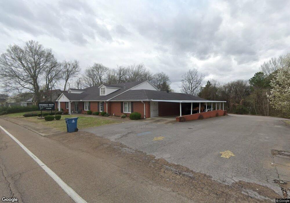
133 N Forrest Ave Camden, TN 38320
Estimated Value: $429,594 - $458,000
--
Bed
1
Bath
6,636
Sq Ft
$67/Sq Ft
Est. Value
About This Home
This home is located at 133 N Forrest Ave, Camden, TN 38320 and is currently estimated at $443,797, approximately $66 per square foot. 133 N Forrest Ave is a home with nearby schools including Camden Elementary School, Briarwood School, and Camden Junior High School.
Ownership History
Date
Name
Owned For
Owner Type
Purchase Details
Closed on
Dec 10, 2021
Sold by
Southern Heritage Re Holdings Co Llc
Bought by
Anthem Properties Wtfa Tennessee Llc
Current Estimated Value
Purchase Details
Closed on
Aug 1, 2007
Bought by
West Tennessee Funeral Associates Llc
Create a Home Valuation Report for This Property
The Home Valuation Report is an in-depth analysis detailing your home's value as well as a comparison with similar homes in the area
Home Values in the Area
Average Home Value in this Area
Purchase History
| Date | Buyer | Sale Price | Title Company |
|---|---|---|---|
| Anthem Properties Wtfa Tennessee Llc | $3,150,000 | None Available | |
| West Tennessee Funeral Associates Llc | $1,150,000 | -- |
Source: Public Records
Tax History Compared to Growth
Tax History
| Year | Tax Paid | Tax Assessment Tax Assessment Total Assessment is a certain percentage of the fair market value that is determined by local assessors to be the total taxable value of land and additions on the property. | Land | Improvement |
|---|---|---|---|---|
| 2025 | $1,787 | $306,800 | $0 | $0 |
| 2024 | $1,787 | $190,480 | $4,800 | $185,680 |
| 2023 | $6,982 | $190,480 | $4,800 | $185,680 |
| 2022 | $6,982 | $190,480 | $4,800 | $185,680 |
| 2021 | $6,982 | $190,480 | $4,800 | $185,680 |
| 2020 | $6,987 | $190,480 | $4,800 | $185,680 |
| 2019 | $5,045 | $127,720 | $4,800 | $122,920 |
| 2018 | $5,045 | $127,720 | $4,800 | $122,920 |
| 2017 | $5,045 | $127,720 | $4,800 | $122,920 |
| 2016 | $5,045 | $127,720 | $4,800 | $122,920 |
| 2015 | $5,096 | $127,720 | $4,800 | $122,920 |
| 2014 | $5,071 | $127,720 | $4,800 | $122,920 |
| 2013 | $5,071 | $128,695 | $0 | $0 |
Source: Public Records
Map
Nearby Homes
- 136 N Forrest Ave
- 134 N Church Ave
- 116 N Church Ave
- 121 Washington Ave
- 1 Maple Ave
- 122 W Lake St
- 170 N Forrest Ave
- 116 Magnolia St
- 120 Magnolia St
- 186 N Forrest Ave
- 129 S Forrest Ave
- 172 W Main St
- 121 Davidson St
- 197 Stigall St
- 0 Forrest Ave N
- 000 Wyly St
- 215 Woodside St
- 1762 Washington Ave
- 162 Factory St
- 167 Cherokee Ave
- 131 N Forrest Ave
- 135 N Forrest Ave
- 130 N Forrest Ave
- 105 Green St
- 125 N Forrest Ave
- 123 N Church Ave
- 123 N Forrest Ave
- 141 N Forrest Ave
- 108 Vine St
- 125 N Church Ave
- 138 N Forrest Ave
- 119 N Church Ave
- 132 N Church Ave
- 114 Vine St
- 143 N Forrest Ave
- 116 Vine St
- 136 N Church Ave
- 124 N Church Ave
- 138 N Church Ave
- 115 Stigall St