133 Pheasant Ridge Dr Montrose, MN 55363
Estimated Value: $353,548 - $372,000
4
Beds
2
Baths
2,460
Sq Ft
$148/Sq Ft
Est. Value
About This Home
This home is located at 133 Pheasant Ridge Dr, Montrose, MN 55363 and is currently estimated at $363,637, approximately $147 per square foot. 133 Pheasant Ridge Dr is a home located in Wright County with nearby schools including Montrose Elementary School, Buffalo Community Middle School, and Buffalo Senior High School.
Ownership History
Date
Name
Owned For
Owner Type
Purchase Details
Closed on
Sep 24, 2019
Sold by
Murphy Nick D
Bought by
Taylor Pamela A and Norberg Arthur L
Current Estimated Value
Home Financials for this Owner
Home Financials are based on the most recent Mortgage that was taken out on this home.
Original Mortgage
$198,000
Interest Rate
3.65%
Mortgage Type
New Conventional
Purchase Details
Closed on
Jul 29, 2016
Sold by
Loberger Scott Scott
Bought by
Murphy Nick Nick
Home Financials for this Owner
Home Financials are based on the most recent Mortgage that was taken out on this home.
Original Mortgage
$194,000
Interest Rate
3.48%
Purchase Details
Closed on
Jun 24, 2004
Sold by
Millennium Homes
Bought by
Loberger Kelly J and Loberger Scott D
Purchase Details
Closed on
Jun 5, 2003
Sold by
Trison Development Inc
Bought by
Millennium Homes Inc
Create a Home Valuation Report for This Property
The Home Valuation Report is an in-depth analysis detailing your home's value as well as a comparison with similar homes in the area
Home Values in the Area
Average Home Value in this Area
Purchase History
| Date | Buyer | Sale Price | Title Company |
|---|---|---|---|
| Taylor Pamela A | $247,500 | Titlesmart Inc | |
| Murphy Nick Nick | $195,000 | -- | |
| Loberger Kelly J | $191,000 | -- | |
| Millennium Homes Inc | $142,000 | -- |
Source: Public Records
Mortgage History
| Date | Status | Borrower | Loan Amount |
|---|---|---|---|
| Previous Owner | Taylor Pamela A | $198,000 | |
| Previous Owner | Murphy Nick Nick | $194,000 |
Source: Public Records
Tax History Compared to Growth
Tax History
| Year | Tax Paid | Tax Assessment Tax Assessment Total Assessment is a certain percentage of the fair market value that is determined by local assessors to be the total taxable value of land and additions on the property. | Land | Improvement |
|---|---|---|---|---|
| 2025 | $4,086 | $339,300 | $65,000 | $274,300 |
| 2024 | $3,956 | $327,200 | $65,000 | $262,200 |
| 2023 | $3,850 | $347,200 | $81,000 | $266,200 |
| 2022 | $3,652 | $312,000 | $72,000 | $240,000 |
| 2021 | $3,458 | $258,200 | $40,000 | $218,200 |
| 2020 | $3,616 | $240,200 | $35,000 | $205,200 |
| 2019 | $3,250 | $233,000 | $0 | $0 |
| 2018 | $2,996 | $214,700 | $0 | $0 |
| 2017 | $2,750 | $199,900 | $0 | $0 |
| 2016 | $2,638 | $0 | $0 | $0 |
| 2015 | $2,608 | $0 | $0 | $0 |
| 2014 | -- | $0 | $0 | $0 |
Source: Public Records
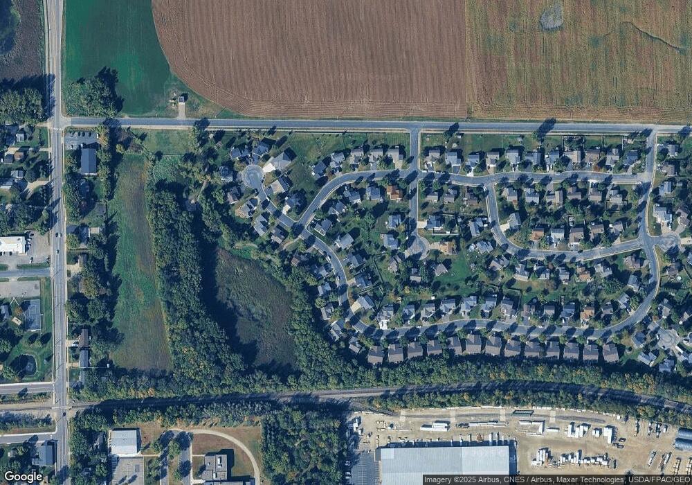
Map
Nearby Homes
- 137 Pheasant Ridge Dr
- 150 Pheasant Ridge Dr
- 426 Dillon Ave N
- 149 Mindy Ln
- 161 Mindy Ln Unit 9
- 301 Center Ave S
- 610 Emerson Ave N
- 703 7th St N
- 517 2nd St S
- 726 7th St N
- 305 Garfield Ave S
- 684 Aspen Ln
- 643 Fieldcrest Ave N
- 683 Aspen Ln
- 645 Fieldcrest Ave N
- 690 Aspen Ln
- 685 Aspen Ln
- 692 Aspen Ln
- 687 Aspen Ln
- 935 Aspen Ln
- 135 Pheasant Ridge Dr
- 200 Quail Dr
- 202 Quail Dr
- 204 Pheasant Run Dr
- 206 Quail Dr
- 206 Pheasant Run Dr
- 134 Pheasant Ridge Dr
- 132 Pheasant Ridge Dr
- 208 Quail Dr
- 127 Pheasant Ridge Dr
- 136 Pheasant Ridge Dr
- 139 Pheasant Ridge Dr
- 207 Pheasant Run Dr
- 145 Pheasant Ridge Dr
- 125 Pheasant Ridge Dr
- 138 Pheasant Ridge Dr
- 205 Quail Dr
- 201 Quail Dr
- 203 Quail Dr
- 201 Pheasant Run Dr