133 River Pointe Dr Savannah, GA 31410
Estimated Value: $295,000 - $331,000
2
Beds
2
Baths
1,123
Sq Ft
$280/Sq Ft
Est. Value
About This Home
This home is located at 133 River Pointe Dr, Savannah, GA 31410 and is currently estimated at $314,645, approximately $280 per square foot. 133 River Pointe Dr is a home located in Chatham County with nearby schools including Marshpoint Elementary School, Coastal Middle School, and Islands High School.
Ownership History
Date
Name
Owned For
Owner Type
Purchase Details
Closed on
Nov 30, 2012
Sold by
Prescott Leslie H
Bought by
Tripp Sarah S
Current Estimated Value
Purchase Details
Closed on
Mar 10, 2006
Sold by
Not Provided
Bought by
Prescott Leslie H
Home Financials for this Owner
Home Financials are based on the most recent Mortgage that was taken out on this home.
Original Mortgage
$100,000
Interest Rate
6.19%
Mortgage Type
New Conventional
Create a Home Valuation Report for This Property
The Home Valuation Report is an in-depth analysis detailing your home's value as well as a comparison with similar homes in the area
Home Values in the Area
Average Home Value in this Area
Purchase History
| Date | Buyer | Sale Price | Title Company |
|---|---|---|---|
| Tripp Sarah S | $131,000 | -- | |
| Prescott Leslie H | $159,900 | -- |
Source: Public Records
Mortgage History
| Date | Status | Borrower | Loan Amount |
|---|---|---|---|
| Previous Owner | Prescott Leslie H | $100,000 |
Source: Public Records
Tax History Compared to Growth
Tax History
| Year | Tax Paid | Tax Assessment Tax Assessment Total Assessment is a certain percentage of the fair market value that is determined by local assessors to be the total taxable value of land and additions on the property. | Land | Improvement |
|---|---|---|---|---|
| 2025 | $1,816 | $98,080 | $18,000 | $80,080 |
| 2024 | $1,816 | $96,680 | $18,000 | $78,680 |
| 2023 | $1,150 | $102,480 | $18,000 | $84,480 |
| 2022 | $1,696 | $91,480 | $18,000 | $73,480 |
| 2021 | $1,683 | $75,520 | $14,600 | $60,920 |
| 2020 | $1,704 | $69,280 | $14,600 | $54,680 |
| 2019 | $1,704 | $66,080 | $14,600 | $51,480 |
| 2018 | $1,687 | $64,680 | $14,600 | $50,080 |
| 2017 | $1,548 | $64,920 | $14,600 | $50,320 |
| 2016 | $1,491 | $59,000 | $14,600 | $44,400 |
| 2015 | $1,444 | $50,360 | $8,000 | $42,360 |
| 2014 | $2,161 | $55,200 | $0 | $0 |
Source: Public Records
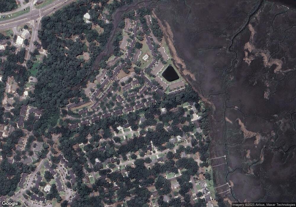
Map
Nearby Homes
- 226 Bull River Bluff Dr
- 142 Bull River Bluff Dr
- 115 River Pointe Dr
- 106 Bull River Bluff Dr
- 46 River Oaks Rd
- 100 Oyster Shell Rd Unit A-4
- 100 Oyster Shell Rd Unit A7
- 33 River Trace Ct
- 8001 Us Highway 80 E Unit 103
- 8001 Us Highway 80 E Unit 401
- 11 River Trace Ct
- 212 Fish Hawk Ln
- 103 Shoals Dr Unit K12
- 302 E Point Dr
- 16 Cat Boat Place
- 7311 Tropical Way
- 7313 Tropical Way
- 302 Sugar Tree Ct
- 12 Castaway Place
- 141 Runner Rd
- 134 River Pointe Dr
- 132 River Pointe Dr
- 135 River Pointe Dr
- 131 River Pointe Dr
- 136 River Pointe Dr
- 130 River Pointe Dr
- 129 River Pointe Dr
- 18 Ole Oak Rd
- 141 River Pointe Dr
- 20 Ole Oak Rd
- 142 River Pointe Dr
- 16 Ole Oak Rd
- 143 River Pointe Dr
- 140 River Pointe Dr
- 139 River Pointe Dr
- 144 River Pointe Dr Unit 144
- 137 River Pointe Dr
- 138 River Pointe Dr
- 127 River Pointe Dr
- 18 River Pointe Ct