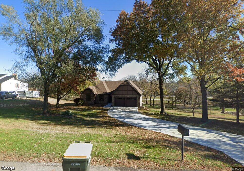
133 Rock Creek Loop Lansing, KS 66043
Estimated Value: $411,000 - $466,000
4
Beds
4
Baths
1,904
Sq Ft
$228/Sq Ft
Est. Value
About This Home
This home is located at 133 Rock Creek Loop, Lansing, KS 66043 and is currently estimated at $434,225, approximately $228 per square foot. 133 Rock Creek Loop is a home located in Leavenworth County with nearby schools including Lansing Elementary School, Lansing Middle 6-8, and Lansing High 9-12.
Ownership History
Date
Name
Owned For
Owner Type
Purchase Details
Closed on
Apr 1, 2001
Bought by
Howlett Donald L and Howlett Sue A
Current Estimated Value
Home Financials for this Owner
Home Financials are based on the most recent Mortgage that was taken out on this home.
Original Mortgage
$120,000
Outstanding Balance
$78,925
Interest Rate
6.91%
Mortgage Type
New Conventional
Estimated Equity
$355,300
Create a Home Valuation Report for This Property
The Home Valuation Report is an in-depth analysis detailing your home's value as well as a comparison with similar homes in the area
Home Values in the Area
Average Home Value in this Area
Purchase History
| Date | Buyer | Sale Price | Title Company |
|---|---|---|---|
| Howlett Donald L | $205,000 | -- |
Source: Public Records
Mortgage History
| Date | Status | Borrower | Loan Amount |
|---|---|---|---|
| Open | Howlett Donald L | $120,000 |
Source: Public Records
Tax History
| Year | Tax Paid | Tax Assessment Tax Assessment Total Assessment is a certain percentage of the fair market value that is determined by local assessors to be the total taxable value of land and additions on the property. | Land | Improvement |
|---|---|---|---|---|
| 2025 | $5,784 | $44,518 | $6,170 | $38,348 |
| 2024 | $5,359 | $42,805 | $7,261 | $35,544 |
| 2023 | $5,359 | $41,158 | $7,261 | $33,897 |
| 2022 | $5,074 | $36,857 | $5,498 | $31,359 |
| 2021 | $4,952 | $34,350 | $5,498 | $28,852 |
| 2020 | $4,886 | $33,350 | $5,498 | $27,852 |
| 2019 | $4,893 | $33,350 | $5,498 | $27,852 |
| 2018 | $4,714 | $32,154 | $5,498 | $26,656 |
| 2017 | $4,595 | $31,278 | $5,498 | $25,780 |
| 2016 | $4,551 | $30,968 | $5,498 | $25,470 |
| 2015 | $4,675 | $31,901 | $7,836 | $24,065 |
| 2014 | $4,483 | $31,234 | $7,836 | $23,398 |
Source: Public Records
Map
Nearby Homes
- 189 Canyon View Dr
- 111 Southfork Rd
- 13788 McIntyre1 Rd
- 13788 Mcintyre Rd
- 13788 McIntyre2 Rd
- 875 Clearview Dr
- 922 Southfork St
- 712 Rock Creek Dr
- 24431 139th St
- 1322 Rock Creek Ct
- 13965 Mc Intyre Rd
- 898 Clearview Dr
- 1313 Stone Ln
- 1221 S Desoto Rd
- 811 4-H Rd
- 503 S 1st St
- 215 E Mary St
- 202 S Main St
- 124 S Main St
- 218 E Kay St
- 135 Rock Creek Loop
- 129 Rock Creek Loop
- 127 Rock Creek Loop
- 128 Rock Creek Loop
- 103 Rock Creek Loop
- 118 Rock Creek Loop
- 125 Rock Creek Loop
- 104 Rock Creek Loop
- 123 Rock Creek Loop
- 24876 139th St
- 110 Rock Creek Loop
- 105 Rock Creek Loop
- 119 Rock Creek Loop
- 121 Rock Creek Loop
- 121 W Gilman Rd
- 117 Rock Creek Loop
- 109 Rock Creek Loop
- 107 Rock Creek Loop
- 139th Cherokee St
- 105 W Gilman Rd
Your Personal Tour Guide
Ask me questions while you tour the home.