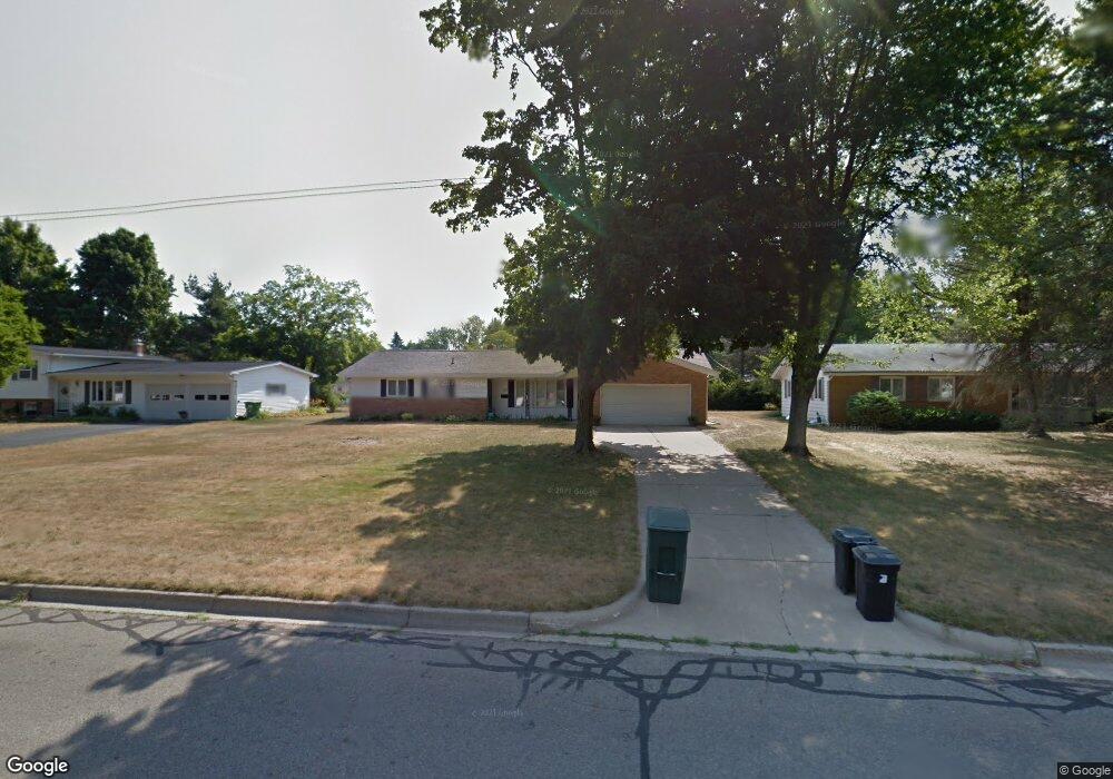
133 S Moorland Dr Battle Creek, MI 49015
Minges Brook Riverside NeighborhoodEstimated Value: $242,000 - $295,000
3
Beds
2
Baths
1,654
Sq Ft
$158/Sq Ft
Est. Value
About This Home
This home is located at 133 S Moorland Dr, Battle Creek, MI 49015 and is currently estimated at $260,954, approximately $157 per square foot. 133 S Moorland Dr is a home located in Calhoun County with nearby schools including Lakeview Middle School, Lakeview High School, and Arbor Academy.
Ownership History
Date
Name
Owned For
Owner Type
Purchase Details
Closed on
May 17, 2004
Sold by
Landamerica Onestop Inc Trust
Bought by
Hrebenar Joanne N
Current Estimated Value
Home Financials for this Owner
Home Financials are based on the most recent Mortgage that was taken out on this home.
Original Mortgage
$116,000
Outstanding Balance
$23,980
Interest Rate
5.85%
Mortgage Type
Purchase Money Mortgage
Estimated Equity
$236,974
Purchase Details
Closed on
Jun 2, 2001
Sold by
Daly James V and Daly Ruth O
Bought by
Alford Justin and Alford Angela
Create a Home Valuation Report for This Property
The Home Valuation Report is an in-depth analysis detailing your home's value as well as a comparison with similar homes in the area
Home Values in the Area
Average Home Value in this Area
Purchase History
| Date | Buyer | Sale Price | Title Company |
|---|---|---|---|
| Hrebenar Joanne N | $145,000 | -- | |
| Landamerica Onestop Inc Trust | $145,000 | -- | |
| Alford Justin | $126,500 | -- |
Source: Public Records
Mortgage History
| Date | Status | Borrower | Loan Amount |
|---|---|---|---|
| Open | Landamerica Onestop Inc Trust | $116,000 |
Source: Public Records
Tax History Compared to Growth
Tax History
| Year | Tax Paid | Tax Assessment Tax Assessment Total Assessment is a certain percentage of the fair market value that is determined by local assessors to be the total taxable value of land and additions on the property. | Land | Improvement |
|---|---|---|---|---|
| 2025 | -- | $113,000 | $0 | $0 |
| 2024 | $2,797 | $105,010 | $0 | $0 |
| 2023 | $3,184 | $96,262 | $0 | $0 |
| 2022 | $3,184 | $88,139 | $0 | $0 |
| 2021 | $3,101 | $84,667 | $0 | $0 |
| 2020 | $3,070 | $74,457 | $0 | $0 |
| 2019 | $2,906 | $74,694 | $0 | $0 |
| 2018 | $2,906 | $69,730 | $7,380 | $62,350 |
| 2017 | $2,818 | $65,511 | $0 | $0 |
| 2016 | $2,813 | $62,496 | $0 | $0 |
| 2015 | $2,617 | $59,657 | $5,404 | $54,253 |
| 2014 | $2,617 | $58,506 | $5,404 | $53,102 |
Source: Public Records
Map
Nearby Homes
- 175 S Ridgeway Dr
- 819 Riverside Dr
- 160 Lincoln Hill Dr
- 348 S Hills Dr
- 133 Country Club Terrace
- 210 Briar Hill Dr
- 214 Morningside Dr
- 226 Morningside Dr
- 620 Meadow Dr
- V/L Riverside Dr
- 125 Williams Dr
- 317 Country Club Terrace
- 498 Ashton Lake Dr
- 117 Meadow Dr
- 677 Morningside Dr
- 767 Cambridge Dr
- 148 Wahwahtaysee Way
- 1116 Lakeside Dr S
- 206 N Chapel Hill Dr
- 66 Wealthy
- 125 S Moorland Dr
- 211 S Moorland Dr
- 824 Edgehill Place
- 124 S Moorland Dr
- 820 Edgehill Place
- 117 S Moorland Dr
- 130 S Moorland Dr
- 828 Edgehill Place
- 219 S Moorland Dr
- 109 S Moorland Dr
- 814 Edgehill Place
- 808 Edgehill Place
- 210 S Moorland Dr
- 118 S Moorland Dr
- 218 S Moorland Dr
- 802 Edgehill Place
- 836 Edgehill Place
- 112 S Moorland Dr
- 227 S Moorland Dr
- 101 S Moorland Dr