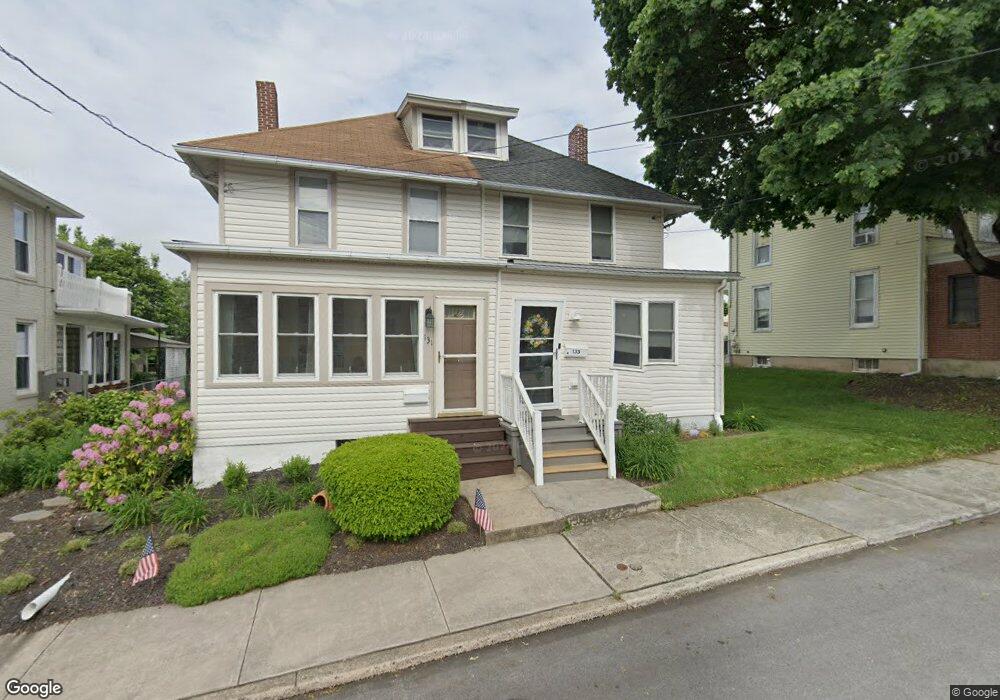
133 S Park St Dallastown, PA 17313
Estimated Value: $148,000 - $190,000
3
Beds
1
Bath
960
Sq Ft
$181/Sq Ft
Est. Value
About This Home
This home is located at 133 S Park St, Dallastown, PA 17313 and is currently estimated at $173,852, approximately $181 per square foot. 133 S Park St is a home located in York County with nearby schools including Dallastown Elementary School, Dallastown Area Middle School, and Dallastown Area High School.
Ownership History
Date
Name
Owned For
Owner Type
Purchase Details
Closed on
Oct 25, 2019
Sold by
Deisenroth Klaus Dieter and Deisenroth Laura J
Bought by
Witmer Kathranne D
Current Estimated Value
Home Financials for this Owner
Home Financials are based on the most recent Mortgage that was taken out on this home.
Original Mortgage
$131,313
Outstanding Balance
$115,037
Interest Rate
3.5%
Mortgage Type
New Conventional
Estimated Equity
$58,815
Purchase Details
Closed on
Jan 10, 2008
Sold by
Walter Donna L and Simmering Kim M
Bought by
Deisenroth Klaus Dieter and Deisenroth Laura J
Home Financials for this Owner
Home Financials are based on the most recent Mortgage that was taken out on this home.
Original Mortgage
$55,800
Interest Rate
6.02%
Mortgage Type
Purchase Money Mortgage
Create a Home Valuation Report for This Property
The Home Valuation Report is an in-depth analysis detailing your home's value as well as a comparison with similar homes in the area
Home Values in the Area
Average Home Value in this Area
Purchase History
| Date | Buyer | Sale Price | Title Company |
|---|---|---|---|
| Witmer Kathranne D | $130,000 | Homesale Setmnt Svcs York | |
| Deisenroth Klaus Dieter | $62,000 | None Available |
Source: Public Records
Mortgage History
| Date | Status | Borrower | Loan Amount |
|---|---|---|---|
| Open | Witmer Kathranne D | $131,313 | |
| Previous Owner | Deisenroth Klaus Dieter | $55,800 |
Source: Public Records
Tax History Compared to Growth
Tax History
| Year | Tax Paid | Tax Assessment Tax Assessment Total Assessment is a certain percentage of the fair market value that is determined by local assessors to be the total taxable value of land and additions on the property. | Land | Improvement |
|---|---|---|---|---|
| 2025 | $2,661 | $76,620 | $22,880 | $53,740 |
| 2024 | $2,661 | $76,620 | $22,880 | $53,740 |
| 2023 | $2,661 | $76,620 | $22,880 | $53,740 |
| 2022 | $2,577 | $76,620 | $22,880 | $53,740 |
| 2021 | $2,430 | $76,620 | $22,880 | $53,740 |
| 2020 | $2,430 | $76,620 | $22,880 | $53,740 |
| 2019 | $2,422 | $76,620 | $22,880 | $53,740 |
| 2018 | $2,422 | $76,620 | $22,880 | $53,740 |
| 2017 | $2,328 | $76,620 | $22,880 | $53,740 |
| 2016 | $0 | $76,620 | $22,880 | $53,740 |
| 2015 | -- | $76,620 | $22,880 | $53,740 |
| 2014 | -- | $76,620 | $22,880 | $53,740 |
Source: Public Records
Map
Nearby Homes
- 64 S Pleasant Ave
- 260 Country Ridge Dr
- 197 S Main St
- 156 Country Ridge Dr
- 126 Country Ridge Dr
- 131 Country Ridge Dr
- 840 Country Club Rd
- 253 W Chestnut St Unit 11
- 74 S Main St
- 136 Teila Dr
- 137 Furlong Way
- 79 S Franklin St
- 141 W Water St
- 131 N Cedar St
- 400 Carriage Ln Unit 400
- 424 Dartha Dr
- 428 W Main St
- 0 Cape Horn Rd
- 338 Atlantic Ave
- 3366 Cape Horn Rd