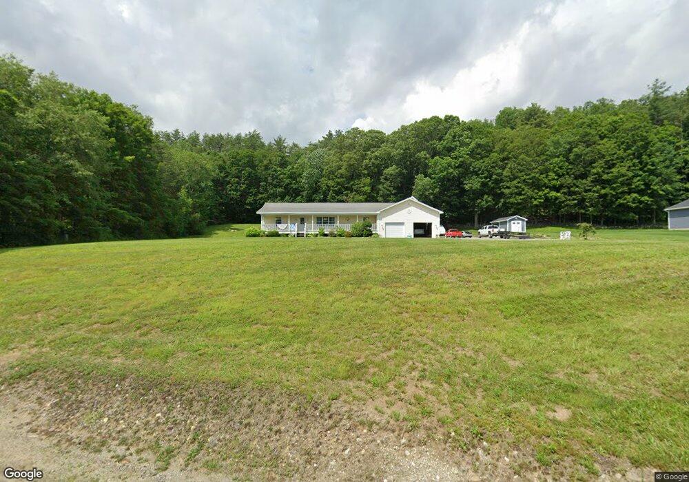
133 Unity Rd Newport, NH 03773
Estimated Value: $489,000 - $573,000
3
Beds
1
Bath
4,368
Sq Ft
$122/Sq Ft
Est. Value
About This Home
This home is located at 133 Unity Rd, Newport, NH 03773 and is currently estimated at $531,533, approximately $121 per square foot. 133 Unity Rd is a home located in Sullivan County with nearby schools including Richards Elementary School, Newport High School, and Newport Montessori School.
Ownership History
Date
Name
Owned For
Owner Type
Purchase Details
Closed on
Oct 29, 2007
Sold by
Boucher Diane W
Bought by
Hutmire Arthur R and Hutmire Jessica R
Current Estimated Value
Home Financials for this Owner
Home Financials are based on the most recent Mortgage that was taken out on this home.
Original Mortgage
$255,550
Outstanding Balance
$161,772
Interest Rate
6.39%
Mortgage Type
Purchase Money Mortgage
Estimated Equity
$369,761
Create a Home Valuation Report for This Property
The Home Valuation Report is an in-depth analysis detailing your home's value as well as a comparison with similar homes in the area
Home Values in the Area
Average Home Value in this Area
Purchase History
| Date | Buyer | Sale Price | Title Company |
|---|---|---|---|
| Hutmire Arthur R | $269,000 | -- |
Source: Public Records
Mortgage History
| Date | Status | Borrower | Loan Amount |
|---|---|---|---|
| Open | Hutmire Arthur R | $255,550 |
Source: Public Records
Tax History Compared to Growth
Tax History
| Year | Tax Paid | Tax Assessment Tax Assessment Total Assessment is a certain percentage of the fair market value that is determined by local assessors to be the total taxable value of land and additions on the property. | Land | Improvement |
|---|---|---|---|---|
| 2024 | $9,999 | $411,300 | $83,800 | $327,500 |
| 2023 | $9,698 | $411,300 | $83,800 | $327,500 |
| 2022 | $8,467 | $405,100 | $83,800 | $321,300 |
| 2021 | $6,283 | $190,400 | $53,800 | $136,600 |
| 2020 | $6,173 | $186,500 | $53,800 | $132,700 |
| 2019 | $6,067 | $186,500 | $53,800 | $132,700 |
| 2018 | $5,670 | $186,500 | $53,800 | $132,700 |
| 2017 | $5,602 | $186,500 | $53,800 | $132,700 |
| 2016 | $5,602 | $195,000 | $51,500 | $143,500 |
| 2015 | $5,587 | $191,000 | $51,500 | $139,500 |
| 2014 | $6,043 | $191,000 | $51,500 | $139,500 |
| 2013 | $5,728 | $191,000 | $51,500 | $139,500 |
Source: Public Records
Map
Nearby Homes
- 434 S Main St
- 0 Unity Rd
- 150 S Main St
- 12 4th St
- 44 Brook View Rd
- 45 Brook View Rd
- 33 Brook View Rd
- 32 Brook View Rd
- 27 Brook View Rd
- 43 Brook View Rd
- 29 Brook View Rd
- 31 Brook View Rd
- 34 Brook View Rd
- 36 Brook View Rd
- 37 Brook View Rd
- 39 Brook View Rd
- Lot 46 Brook View Rd
- 26 Brook View Rd
- 40 Brook View Rd
- 42 Brook View Rd