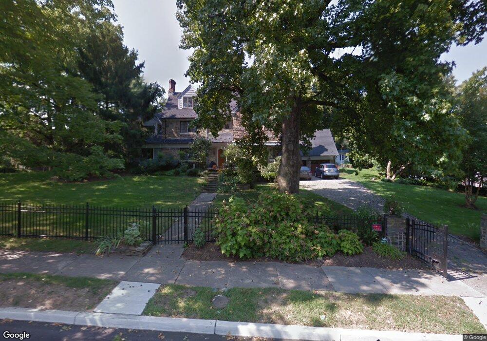
133 Upland Way Haddonfield, NJ 08033
Estimated Value: $1,711,835 - $1,945,000
Studio
--
Bath
4,253
Sq Ft
$422/Sq Ft
Est. Value
About This Home
This home is located at 133 Upland Way, Haddonfield, NJ 08033 and is currently estimated at $1,795,945, approximately $422 per square foot. 133 Upland Way is a home located in Camden County with nearby schools including Haddonfield Memorial High School and Haddonfield Friends School.
Ownership History
Date
Name
Owned For
Owner Type
Purchase Details
Closed on
Dec 20, 1996
Sold by
Harris Thomas
Bought by
Branton John and Branton Winifred
Current Estimated Value
Home Financials for this Owner
Home Financials are based on the most recent Mortgage that was taken out on this home.
Original Mortgage
$508,000
Outstanding Balance
$50,708
Interest Rate
7.5%
Mortgage Type
Purchase Money Mortgage
Estimated Equity
$1,745,237
Create a Home Valuation Report for This Property
The Home Valuation Report is an in-depth analysis detailing your home's value as well as a comparison with similar homes in the area
Home Values in the Area
Average Home Value in this Area
Purchase History
| Date | Buyer | Sale Price | Title Company |
|---|---|---|---|
| Branton John | $250,000 | -- | |
| Taffet Robert | $565,000 | -- |
Source: Public Records
Mortgage History
| Date | Status | Borrower | Loan Amount |
|---|---|---|---|
| Open | Taffet Robert | $508,000 |
Source: Public Records
Tax History
| Year | Tax Paid | Tax Assessment Tax Assessment Total Assessment is a certain percentage of the fair market value that is determined by local assessors to be the total taxable value of land and additions on the property. | Land | Improvement |
|---|---|---|---|---|
| 2025 | $32,321 | $975,000 | $514,800 | $460,200 |
| 2024 | $31,083 | $975,000 | $514,800 | $460,200 |
| 2023 | $31,083 | $975,000 | $514,800 | $460,200 |
| 2022 | $30,839 | $975,000 | $514,800 | $460,200 |
| 2021 | $30,683 | $975,000 | $514,800 | $460,200 |
| 2020 | $30,469 | $975,000 | $514,800 | $460,200 |
| 2019 | $326 | $1,050,000 | $514,800 | $535,200 |
| 2018 | $32,162 | $1,050,000 | $514,800 | $535,200 |
| 2017 | $31,395 | $1,050,000 | $514,800 | $535,200 |
| 2016 | $30,692 | $1,050,000 | $514,800 | $535,200 |
| 2015 | $29,841 | $1,050,000 | $514,800 | $535,200 |
| 2014 | $29,180 | $1,050,000 | $514,800 | $535,200 |
Source: Public Records
Map
Nearby Homes
- 139 Treaty Elm Ln
- 104 Treaty Elm Ln
- 95 Lane of Acres
- 425 Peltoma Rd
- 396 Tavistock Blvd
- 1001 Wayne Rd
- 121 Reillywood Ave
- 414 Tavistock
- 412 Tavistock
- 342 Tavistock Blvd
- 125 W Cottage Ave
- 127 W Cottage Ave
- 381 Tavistock
- 300 Copley Rd
- 370 Station Ave
- 301 Tavistock
- 308 S Woodstock Dr
- 366 Independence Blvd
- 401 Spruce St
- 51 S Hinchman Ave
- 125 Upland Way
- 124 Colonial Ridge Dr
- 145 Colonial Ridge Dr
- 125 Colonial Ridge Dr
- 150 Upland Way
- 140 Upland Way
- 110 Colonial Ridge Dr
- 1010 Washington Ave
- 111 Upland Way
- 108 Colonial Ridge Dr
- 160 Upland Way
- 159 Upland Way
- 130 Upland Way
- 110 Glenwood Rd
- 109 Glenwood Rd
- 170 Upland Way
- 135 Wedgewood Ln
- 125 Wedgewood Ln
- 114 Colonial Ridge Dr
- 115 Glenwood Rd
Your Personal Tour Guide
Ask me questions while you tour the home.