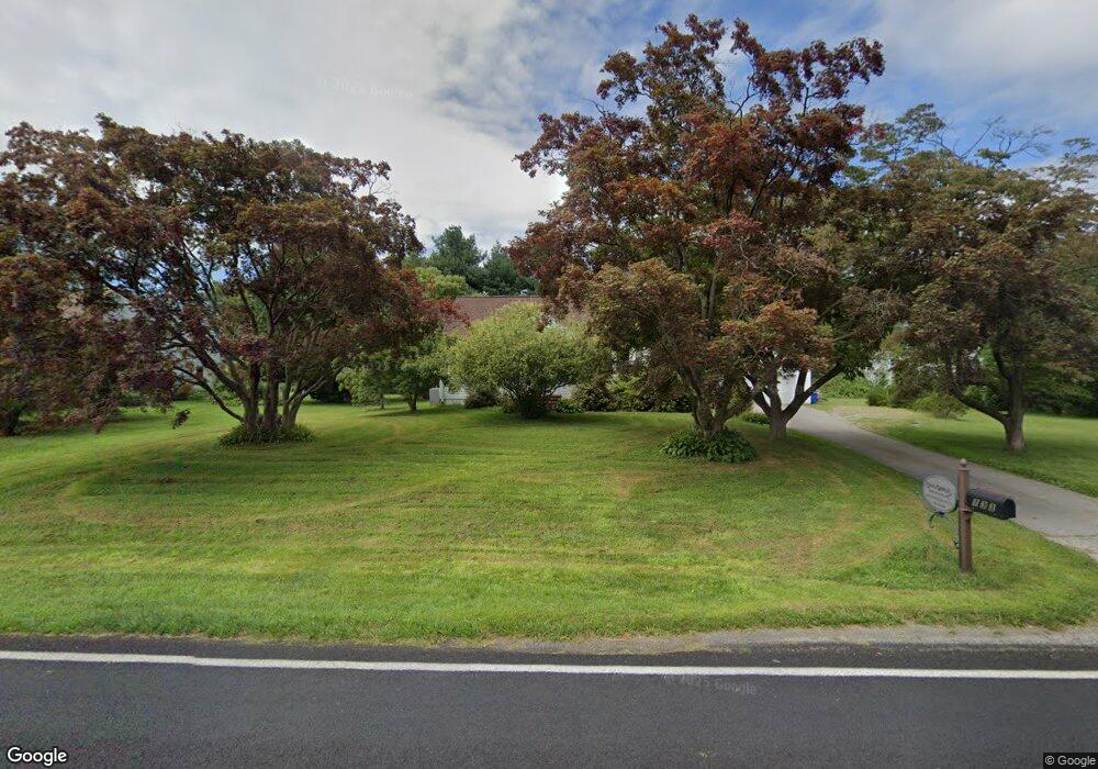
133 W Street Rd Kennett Square, PA 19348
East Marlborough Township NeighborhoodEstimated Value: $493,000 - $601,000
3
Beds
1
Bath
2,200
Sq Ft
$250/Sq Ft
Est. Value
About This Home
This home is located at 133 W Street Rd, Kennett Square, PA 19348 and is currently estimated at $550,823, approximately $250 per square foot. 133 W Street Rd is a home located in Chester County with nearby schools including Unionville Elementary School, Charles F. Patton Middle School, and Unionville High School.
Ownership History
Date
Name
Owned For
Owner Type
Purchase Details
Closed on
Dec 8, 2020
Sold by
Estate Of Joseph Muoio Jr
Bought by
Forte Albert J and Forte Janet
Current Estimated Value
Purchase Details
Closed on
Apr 9, 2010
Sold by
Mcdonnell Francis J and Mcdonnell Kelly A
Bought by
Zandotti Eric
Home Financials for this Owner
Home Financials are based on the most recent Mortgage that was taken out on this home.
Original Mortgage
$160,000
Interest Rate
4.97%
Mortgage Type
New Conventional
Purchase Details
Closed on
Sep 29, 2003
Sold by
Pulte Home Corp Of The Delaware Valley
Bought by
Muoio Joseph and Muoio Antoinette
Purchase Details
Closed on
Jan 6, 1996
Sold by
Owen Michael S and Owen Wayne J
Bought by
Seiwell Carolyn
Home Financials for this Owner
Home Financials are based on the most recent Mortgage that was taken out on this home.
Original Mortgage
$80,000
Interest Rate
7.13%
Create a Home Valuation Report for This Property
The Home Valuation Report is an in-depth analysis detailing your home's value as well as a comparison with similar homes in the area
Home Values in the Area
Average Home Value in this Area
Purchase History
| Date | Buyer | Sale Price | Title Company |
|---|---|---|---|
| Forte Albert J | $480,000 | Madison Setmnt Svcs Brandywi | |
| Zandotti Eric | $270,000 | First American Title Ins Co | |
| Muoio Joseph | $349,000 | Lawyers Title Insurance Corp | |
| Seiwell Carolyn | $100,000 | -- |
Source: Public Records
Mortgage History
| Date | Status | Borrower | Loan Amount |
|---|---|---|---|
| Previous Owner | Zandotti Eric | $160,000 | |
| Previous Owner | Seiwell Carolyn | $80,000 |
Source: Public Records
Tax History Compared to Growth
Tax History
| Year | Tax Paid | Tax Assessment Tax Assessment Total Assessment is a certain percentage of the fair market value that is determined by local assessors to be the total taxable value of land and additions on the property. | Land | Improvement |
|---|---|---|---|---|
| 2025 | $950 | $141,060 | $46,900 | $94,160 |
| 2024 | $950 | $141,060 | $46,900 | $94,160 |
| 2023 | $950 | $141,060 | $46,900 | $94,160 |
| 2022 | $790 | $141,060 | $46,900 | $94,160 |
| 2021 | $950 | $141,060 | $46,900 | $94,160 |
| 2020 | $764 | $141,060 | $46,900 | $94,160 |
| 2019 | $924 | $141,060 | $46,900 | $94,160 |
| 2018 | $924 | $141,060 | $46,900 | $94,160 |
| 2017 | $924 | $141,060 | $46,900 | $94,160 |
| 2016 | $548 | $141,060 | $46,900 | $94,160 |
| 2015 | $548 | $141,060 | $46,900 | $94,160 |
| 2014 | $548 | $141,060 | $46,900 | $94,160 |
Source: Public Records
Map
Nearby Homes
- 312 Riverbirch Cir Unit 802
- 804 Waverly Rd
- 191 W Street Rd
- 617 Unionville Rd
- 102 Manor Dr
- 347 Astilbe Dr
- 213 Katsura Dr
- 113 Lantana Dr
- 711 Potter Dr
- 705 Potter Dr
- 505 Wisteria Dr
- 217 Kirkbrae Rd
- 1776 W Doe Run Rd
- 454 Larkspur Dr
- 326 Redbud Ln
- 491 N Mill Rd
- 24 Radnor Ln
- 736 Cascade Way
- 10104 Louie Ln
- 10101 Louie Ln
- 135 W Street Rd
- 129 W Street Rd
- 108 Gypsy Ln
- 137 W Street Rd
- 138 W Street Rd
- 136 W Street Rd
- 106 Gypsy Ln
- 108 W Clay Creek Ln
- 110 W Clay Creek Ln
- 704 Meadowbank Rd
- 111 Gypsy Ln
- 100 W Clay Creek Ln
- 104 Gypsy Ln
- 134 W Street Rd
- 706 Meadowbank Rd
- 109 Gypsy Ln
- 132 W Street Rd
- 102 Gypsy Ln
- 107 Gypsy Ln
- 705 Meadowbank Rd