Estimated Value: $195,000 - $270,031
Studio
1
Bath
2,297
Sq Ft
$103/Sq Ft
Est. Value
About This Home
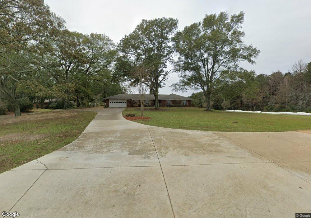
This home is located at 133 Wc Allen Rd, Magee, MS 39111 and is currently estimated at $235,758, approximately $102 per square foot. 133 Wc Allen Rd is a home located in Simpson County with nearby schools including Magee Elementary School, Magee Middle School, and Magee High School.
Ownership History
Date
Name
Owned For
Owner Type
Purchase Details
Closed on
May 27, 2020
Sold by
Echols Vonda D and Brooks Vistra D
Bought by
Maddox Robert S and Maddox Kristy A
Current Estimated Value
Home Financials for this Owner
Home Financials are based on the most recent Mortgage that was taken out on this home.
Original Mortgage
$85,000
Outstanding Balance
$74,659
Interest Rate
3.3%
Mortgage Type
New Conventional
Estimated Equity
$161,099
Create a Home Valuation Report for This Property
The Home Valuation Report is an in-depth analysis detailing your home's value as well as a comparison with similar homes in the area
Purchase History
| Date | Buyer | Sale Price | Title Company |
|---|---|---|---|
| Maddox Robert S | -- | None Available | |
| Maddox Robert S | -- | None Available |
Source: Public Records
Mortgage History
| Date | Status | Borrower | Loan Amount |
|---|---|---|---|
| Open | Maddox Robert S | $85,000 |
Source: Public Records
Tax History
| Year | Tax Paid | Tax Assessment Tax Assessment Total Assessment is a certain percentage of the fair market value that is determined by local assessors to be the total taxable value of land and additions on the property. | Land | Improvement |
|---|---|---|---|---|
| 2025 | $1,508 | $15,817 | $0 | $0 |
| 2024 | $1,508 | $17,598 | $0 | $0 |
| 2023 | $1,701 | $16,156 | $0 | $0 |
| 2022 | $1,480 | $16,156 | $0 | $0 |
| 2021 | $1,445 | $16,156 | $0 | $0 |
| 2020 | $1,350 | $15,273 | $0 | $0 |
| 2019 | $1,281 | $15,273 | $0 | $0 |
| 2018 | $1,281 | $15,273 | $0 | $0 |
| 2017 | $1,281 | $15,273 | $0 | $0 |
| 2016 | $1,201 | $15,083 | $0 | $0 |
| 2015 | $1,148 | $15,083 | $0 | $0 |
| 2014 | $901 | $12,509 | $0 | $0 |
Source: Public Records
Map
Nearby Homes
- 283 Simpson Highway 28 E
- 149 John H Rd
- 1120 4th St SE
- 1120 3rd St SE
- 0 Dry Creek Rd Unit 4141977
- 0 Dry Creek Rd Unit 4143424
- 0 8th Ave Unit 4132915
- 702 2nd St SE
- 612 Laurel Dr SE
- 520 Choctaw St E
- 429 1st Ave NE
- 227 1st St SW
- 210 N Jadek Dr NE
- 212 2nd Ave SW
- 0 4th Ave SW
- 104 Kaden Kove
- 632 2nd Ave NW
- 510 Kennedy Dr NW
- 107 NE Adams Ave
- 1304 1st Ave NE
- 123 Wc Allen Rd
- 288 Simpson Highway 28 E
- 288 Simpson Highway 28 E
- 302 Simpson Highway 28 E
- 284 Simpson Highway 28 E
- 167 Wc Allen Rd
- 251 Mississippi 28
- 311 Simpson Highway 28 E
- 297 Simpson Highway 28 E
- 172 Wc Allen Rd
- 319 Simpson Highway 28 E
- 227 Simpson Highway 28 E
- 238 E Simpson Highway 28
- 161 Wc Allen Rd
- 269 Simpson Highway 28 E
- 348 Simpson Highway 28 E
- 106 Sawyer Dr
- 263 Simpson Highway 28 E
- 349 Simpson Highway 28 E
- 251 Simpson Highway 28 E
Your Personal Tour Guide
Ask me questions while you tour the home.