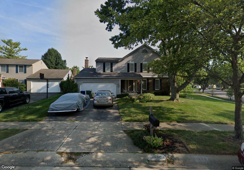
1330 Buttermilk Ave Columbus, OH 43235
Worthingview NeighborhoodEstimated Value: $441,659 - $495,000
4
Beds
3
Baths
2,144
Sq Ft
$218/Sq Ft
Est. Value
About This Home
This home is located at 1330 Buttermilk Ave, Columbus, OH 43235 and is currently estimated at $467,665, approximately $218 per square foot. 1330 Buttermilk Ave is a home located in Franklin County with nearby schools including Bluffsview Elementary School, McCord Middle School, and Worthington Kilbourne High School.
Ownership History
Date
Name
Owned For
Owner Type
Purchase Details
Closed on
May 13, 2024
Sold by
Wahlenmaier Allen G and Wahlenmaier Jacqueline R
Bought by
Wahlenmaier Allen G and Wahlenmaier Jacqueline R
Current Estimated Value
Purchase Details
Closed on
Mar 20, 1978
Bought by
Wahlenmaier Allen G
Create a Home Valuation Report for This Property
The Home Valuation Report is an in-depth analysis detailing your home's value as well as a comparison with similar homes in the area
Home Values in the Area
Average Home Value in this Area
Purchase History
| Date | Buyer | Sale Price | Title Company |
|---|---|---|---|
| Wahlenmaier Allen G | -- | None Listed On Document | |
| Wahlenmaier Allen G | -- | -- |
Source: Public Records
Tax History Compared to Growth
Tax History
| Year | Tax Paid | Tax Assessment Tax Assessment Total Assessment is a certain percentage of the fair market value that is determined by local assessors to be the total taxable value of land and additions on the property. | Land | Improvement |
|---|---|---|---|---|
| 2024 | $7,076 | $125,060 | $34,970 | $90,090 |
| 2023 | $6,804 | $125,060 | $34,970 | $90,090 |
| 2022 | $6,555 | $97,340 | $21,770 | $75,570 |
| 2021 | $6,047 | $97,340 | $21,770 | $75,570 |
| 2020 | $5,825 | $97,340 | $21,770 | $75,570 |
| 2019 | $5,570 | $85,200 | $18,940 | $66,260 |
| 2018 | $5,089 | $85,200 | $18,940 | $66,260 |
| 2017 | $4,992 | $85,200 | $18,940 | $66,260 |
| 2016 | $4,781 | $76,090 | $18,900 | $57,190 |
| 2015 | $4,782 | $76,090 | $18,900 | $57,190 |
| 2014 | $4,780 | $76,090 | $18,900 | $57,190 |
| 2013 | $2,134 | $69,160 | $17,185 | $51,975 |
Source: Public Records
Map
Nearby Homes
- 1380 Tiehack Ct
- 1620 Park Row Dr Unit A
- 7164 Durness Place
- 1637 Park Row Dr Unit F
- 1101 Bluffway Dr
- 1041 Rosebank Dr
- 7522 Acela St
- 2687 Snouffer Rd
- 1828 Gardenstone Dr
- 1889 Slaton Ct Unit 1889
- 1930 Shallowford Ave
- 6637 Merwin Rd
- 6921 Spruce Pine Dr
- 2001 Sawbury Blvd Unit 2001
- 6550 Winston Ct E
- 2056 Fincastle Ct
- 1118 Ravine Ridge Dr
- 1307 Lakeside Ct
- 2074 Hard Rd
- 815 Cherryfield Ave
- 1338 Buttermilk Ave
- 1292 Worthington Heights Blvd
- 1346 Buttermilk Ave
- 1333 Donwalter Ln
- 1297 Worthington Heights Blvd
- 1341 Donwalter Ln
- 7063 Linbrook Blvd
- 1310 Churchbell Way
- 1345 Buttermilk Ave
- 1349 Donwalter Ln
- 1354 Buttermilk Ave
- 1291 Worthington Heights Blvd
- 1300 Churchbell Way
- 1357 Donwalter Ln
- 1353 Buttermilk Ave
- 1362 Buttermilk Ave
- 1285 Worthington Heights Blvd
- 1316 Donwalter Ln Unit 318
- 7055 Linbrook Blvd
- 1365 Donwalter Ln