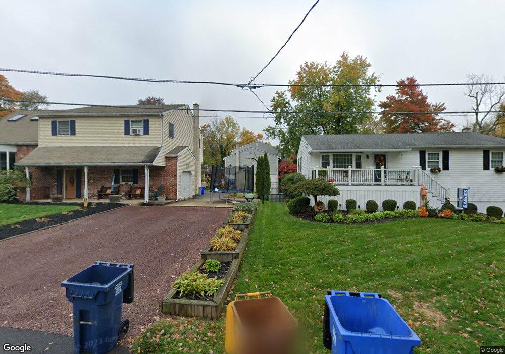
1330 Canoe Ave Bensalem, PA 19020
Neshaminy Valley NeighborhoodEstimated Value: $507,000 - $634,000
3
Beds
2
Baths
2,310
Sq Ft
$245/Sq Ft
Est. Value
About This Home
This home is located at 1330 Canoe Ave, Bensalem, PA 19020 and is currently estimated at $565,782, approximately $244 per square foot. 1330 Canoe Ave is a home located in Bucks County with nearby schools including Valley Elementary School, St. Ephrem School, and Isabet Academy.
Ownership History
Date
Name
Owned For
Owner Type
Purchase Details
Closed on
Sep 22, 2012
Sold by
Cush Eugene J and Cush Christine T
Bought by
Cush Christine T
Current Estimated Value
Purchase Details
Closed on
Jul 29, 1994
Sold by
Judge Gerald D and Judge Ethel
Bought by
Cush Eugene J and Cush Christine T
Home Financials for this Owner
Home Financials are based on the most recent Mortgage that was taken out on this home.
Original Mortgage
$70,000
Interest Rate
8.4%
Create a Home Valuation Report for This Property
The Home Valuation Report is an in-depth analysis detailing your home's value as well as a comparison with similar homes in the area
Home Values in the Area
Average Home Value in this Area
Purchase History
| Date | Buyer | Sale Price | Title Company |
|---|---|---|---|
| Cush Christine T | -- | None Available | |
| Cush Eugene J | $170,000 | -- |
Source: Public Records
Mortgage History
| Date | Status | Borrower | Loan Amount |
|---|---|---|---|
| Closed | Cush Eugene J | $70,000 |
Source: Public Records
Tax History Compared to Growth
Tax History
| Year | Tax Paid | Tax Assessment Tax Assessment Total Assessment is a certain percentage of the fair market value that is determined by local assessors to be the total taxable value of land and additions on the property. | Land | Improvement |
|---|---|---|---|---|
| 2025 | $8,208 | $37,600 | $4,920 | $32,680 |
| 2024 | $8,208 | $37,600 | $4,920 | $32,680 |
| 2023 | $7,976 | $37,600 | $4,920 | $32,680 |
| 2022 | $7,930 | $37,600 | $4,920 | $32,680 |
| 2021 | $7,930 | $37,600 | $4,920 | $32,680 |
| 2020 | $7,850 | $37,600 | $4,920 | $32,680 |
| 2019 | $7,675 | $37,600 | $4,920 | $32,680 |
| 2018 | $7,497 | $37,600 | $4,920 | $32,680 |
| 2017 | $7,450 | $37,600 | $4,920 | $32,680 |
| 2016 | $7,450 | $37,600 | $4,920 | $32,680 |
| 2015 | -- | $37,600 | $4,920 | $32,680 |
| 2014 | -- | $37,600 | $4,920 | $32,680 |
Source: Public Records
Map
Nearby Homes
- 524 Washington Ave
- 1407 Cornflower Ln
- 6130 Clearview Ave
- 6124 Clearview Ave
- 1838 Sheri Rd
- L:003 Newportville Rd
- 301 Main St
- 2132 Durham Rd
- 5813 Edge Ave
- 5817 Cricket Ln
- 3702 Nichol St
- 927 Bellevue Ave
- 2821 Avenue E
- 0 Durham Rd
- 1734 Gibson Rd Unit 1
- 3200 Ellington Ct
- 1790 Gibson Rd Unit 69
- 1852 Gibson Rd Unit 58
- 2548 Nashua Rd
- 1446 Gibson Rd Unit D50
- 6344 Fernwood Ave
- 6354 Fernwood Ave
- 6334 Fernwood Ave
- 6335 Fernwood Ave
- 6365 Fulton Ave
- 6324 Fernwood Ave
- 6350 Sterling Ave
- 6360 Sterling Ave
- 6340 Sterling Ave
- 6380 Sterling Ave
- 6341 Fulton Ave
- 6314 Fernwood Ave
- 6328 Sterling Ave
- 6406 Fulton Ave
- 6361 Sterling Ave
- 1416 Canoe Ave
- 6351 Sterling Ave
- 6304 Fernwood Ave
- 6356 Fulton Ave
- 6329 Fulton Ave