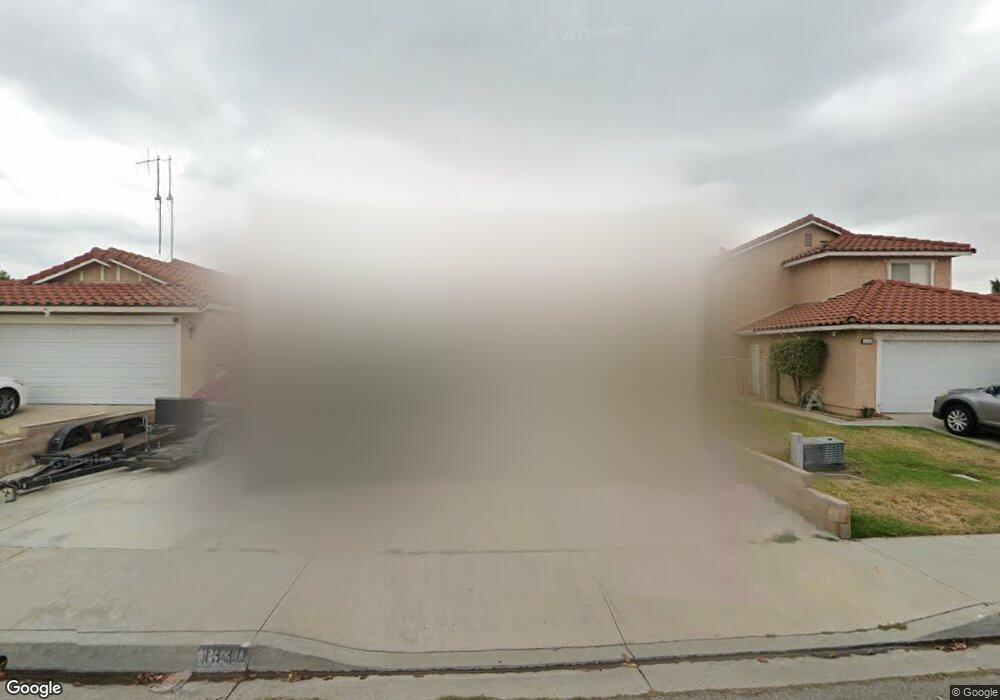
1330 Coral Tree Rd Colton, CA 92324
Estimated Value: $451,376 - $508,000
2
Beds
2
Baths
1,032
Sq Ft
$469/Sq Ft
Est. Value
About This Home
This home is located at 1330 Coral Tree Rd, Colton, CA 92324 and is currently estimated at $484,094, approximately $469 per square foot. 1330 Coral Tree Rd is a home located in San Bernardino County with nearby schools including Georgia Morris Elementary School, William G. Jehue Middle School, and Rialto High School.
Ownership History
Date
Name
Owned For
Owner Type
Purchase Details
Closed on
Aug 16, 2002
Sold by
Maldewin Eron Tyler and Maldewin Michelle Anona
Bought by
Martinez Javier E
Current Estimated Value
Home Financials for this Owner
Home Financials are based on the most recent Mortgage that was taken out on this home.
Original Mortgage
$116,176
Interest Rate
6.17%
Mortgage Type
FHA
Create a Home Valuation Report for This Property
The Home Valuation Report is an in-depth analysis detailing your home's value as well as a comparison with similar homes in the area
Home Values in the Area
Average Home Value in this Area
Purchase History
| Date | Buyer | Sale Price | Title Company |
|---|---|---|---|
| Martinez Javier E | $118,000 | American Title Company |
Source: Public Records
Mortgage History
| Date | Status | Borrower | Loan Amount |
|---|---|---|---|
| Previous Owner | Martinez Javier E | $116,176 |
Source: Public Records
Tax History Compared to Growth
Tax History
| Year | Tax Paid | Tax Assessment Tax Assessment Total Assessment is a certain percentage of the fair market value that is determined by local assessors to be the total taxable value of land and additions on the property. | Land | Improvement |
|---|---|---|---|---|
| 2025 | $2,081 | $170,902 | $42,725 | $128,177 |
| 2024 | $2,081 | $167,551 | $41,887 | $125,664 |
| 2023 | $2,211 | $164,266 | $41,066 | $123,200 |
| 2022 | $2,059 | $161,045 | $40,261 | $120,784 |
| 2021 | $2,045 | $157,888 | $39,472 | $118,416 |
| 2020 | $2,057 | $156,269 | $39,067 | $117,202 |
| 2019 | $2,011 | $153,205 | $38,301 | $114,904 |
| 2018 | $1,953 | $150,201 | $37,550 | $112,651 |
| 2017 | $1,938 | $147,256 | $36,814 | $110,442 |
| 2016 | $1,915 | $144,368 | $36,092 | $108,276 |
| 2015 | $1,922 | $142,200 | $35,550 | $106,650 |
| 2014 | $1,812 | $139,415 | $34,854 | $104,561 |
Source: Public Records
Map
Nearby Homes
- 1996 Date Tree Rd
- 1152 Lugo Ln
- 2010 Date Tree Rd
- 1967 De Carmen Dr
- 1972 De Anza Dr
- 1025 Sur Riverside Ave Unit 26
- 2002 Juniper Ln
- 3004 Cardamon St
- 758 S Acacia Ave
- 881 S Lamarr St
- 1155 S Riverside Ave Unit 39
- 629 S Sage Ave
- 426 E Orchard St
- 827 S Riverside Ave
- 565 S Joyce Ave
- 731 S Orange Ave
- 610 S Olive Ave
- 711 N Meridian Ave
- 200 W San Bernardino Ave Unit 1
- 200 W San Bernardino Ave Unit 3
- 1320 Coral Tree Rd
- 1340 Coral Tree Rd
- 1316 Coral Tree Rd
- 1350 Coral Tree Rd
- 1315 Christobal Ln
- 1321 Christobal Ln
- 1327 Christobal Ln
- 1309 Christobal Ln
- 1354 Coral Tree Rd
- 1310 Coral Tree Rd
- 1333 Christobal Ln
- 1301 Christobal Ln
- 1356 Coral Tree Rd
- 1988 Buttonwood St
- 1333 Coral Tree Rd
- 1298 Coral Tree Rd
- 1339 Christobal Ln
- 1335 Coral Tree Rd
- 1293 Christobal Ln
- 1990 Buttonwood St