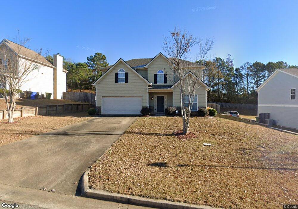
1330 Freedom Ridge Dr Columbus, GA 31907
Eastern Columbus NeighborhoodEstimated Value: $273,000 - $287,000
4
Beds
3
Baths
2,574
Sq Ft
$109/Sq Ft
Est. Value
About This Home
This home is located at 1330 Freedom Ridge Dr, Columbus, GA 31907 and is currently estimated at $280,925, approximately $109 per square foot. 1330 Freedom Ridge Dr is a home located in Muscogee County with nearby schools including Dawson Elementary School, East Columbus Magnet Academy, and Spencer High School.
Ownership History
Date
Name
Owned For
Owner Type
Purchase Details
Closed on
Aug 28, 2009
Sold by
Grayhawk Homes Inc
Bought by
Agbasi Florence
Current Estimated Value
Home Financials for this Owner
Home Financials are based on the most recent Mortgage that was taken out on this home.
Original Mortgage
$177,394
Outstanding Balance
$116,015
Interest Rate
5.19%
Mortgage Type
FHA
Estimated Equity
$164,910
Create a Home Valuation Report for This Property
The Home Valuation Report is an in-depth analysis detailing your home's value as well as a comparison with similar homes in the area
Home Values in the Area
Average Home Value in this Area
Purchase History
| Date | Buyer | Sale Price | Title Company |
|---|---|---|---|
| Agbasi Florence | $180,700 | None Available | |
| Grayhawk Homes Inc | -- | None Available |
Source: Public Records
Mortgage History
| Date | Status | Borrower | Loan Amount |
|---|---|---|---|
| Open | Agbasi Florence | $177,394 |
Source: Public Records
Tax History Compared to Growth
Tax History
| Year | Tax Paid | Tax Assessment Tax Assessment Total Assessment is a certain percentage of the fair market value that is determined by local assessors to be the total taxable value of land and additions on the property. | Land | Improvement |
|---|---|---|---|---|
| 2025 | $231 | $103,340 | $12,660 | $90,680 |
| 2024 | $2,304 | $103,340 | $12,660 | $90,680 |
| 2023 | $162 | $103,340 | $12,660 | $90,680 |
| 2022 | $2,403 | $74,632 | $12,660 | $61,972 |
| 2021 | $2,396 | $67,696 | $12,660 | $55,036 |
| 2020 | $2,397 | $67,696 | $12,660 | $55,036 |
| 2019 | $2,406 | $67,696 | $12,660 | $55,036 |
| 2018 | $2,406 | $67,696 | $12,660 | $55,036 |
| 2017 | $2,415 | $67,696 | $12,660 | $55,036 |
| 2016 | $2,425 | $72,069 | $13,600 | $58,469 |
| 2015 | $2,429 | $72,069 | $13,600 | $58,469 |
| 2014 | $2,432 | $72,069 | $13,600 | $58,469 |
| 2013 | -- | $72,069 | $13,600 | $58,469 |
Source: Public Records
Map
Nearby Homes
- 5090 Lexington Ln
- 5109 Lexington Ln
- 1340 Bunker Ridge Ln
- 1238 Brandywine Dr
- 5310 Stoney Point Rd
- 1210 Bunker Hill Rd
- 5219 Argonne Dr
- 5336 Gettysburg Way
- 5613 Quebec Dr
- 1513 Alamo Dr
- 5644 Quebec Dr
- 1225 Rowell St
- 1025 Belmar St
- 4462 Walking Stick Way
- 5664 St Marys Rd
- 849 Bunker Hill Rd
- 1425 Staunton Dr
- 5728 Lexington Dr
- 4939 Aaron Dr
- 4408 Walking Stick Way
- 1336 Freedom Ridge Dr
- 1324 Freedom Ridge Dr
- 1342 Freedom Ridge Dr
- 1255 Bunker Ridge Ln
- 5194 Sand Hill Dr
- 1259 Bunker Ridge Ln
- 1251 Bunker Ridge Ln
- 1335 Freedom Ridge Dr
- 0 Freedom Ridge Dr
- 1348 Freedom Ridge Dr
- 1312 Freedom Ridge Dr
- 1263 Bunker Ridge Ln
- 1341 Freedom Ridge Dr
- 5176 Sand Hill Dr
- 1249 Bunker Ridge Ln
- 5195 Sand Hill Dr
- 1305 Bunker Ridge Ln
- 1347 Freedom Ridge Dr
- 1306 Freedom Ridge Dr
- 1352 Freedom Ridge Dr