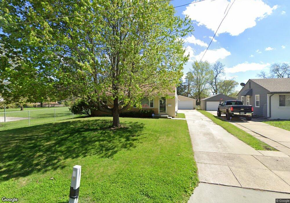
1330 Linden Ln Des Moines, IA 50315
Watrous South NeighborhoodEstimated Value: $215,000 - $231,000
3
Beds
1
Bath
1,000
Sq Ft
$223/Sq Ft
Est. Value
About This Home
This home is located at 1330 Linden Ln, Des Moines, IA 50315 and is currently estimated at $223,125, approximately $223 per square foot. 1330 Linden Ln is a home located in Polk County with nearby schools including Wright Elementary School, Brody Middle School, and Lincoln High School.
Ownership History
Date
Name
Owned For
Owner Type
Purchase Details
Closed on
Dec 3, 2024
Sold by
Lloyd D Cook Revocable Trust and Parker Susan M
Bought by
Fortune Sharon K
Current Estimated Value
Purchase Details
Closed on
Oct 25, 2021
Sold by
Cook Lloyd D
Bought by
Lloyd D Cook Revocable Trust
Create a Home Valuation Report for This Property
The Home Valuation Report is an in-depth analysis detailing your home's value as well as a comparison with similar homes in the area
Home Values in the Area
Average Home Value in this Area
Purchase History
| Date | Buyer | Sale Price | Title Company |
|---|---|---|---|
| Fortune Sharon K | -- | None Listed On Document | |
| Fortune Sharon K | -- | None Listed On Document | |
| Fortune Sharon K | -- | None Listed On Document | |
| Lloyd D Cook Revocable Trust | -- | None Available |
Source: Public Records
Tax History Compared to Growth
Tax History
| Year | Tax Paid | Tax Assessment Tax Assessment Total Assessment is a certain percentage of the fair market value that is determined by local assessors to be the total taxable value of land and additions on the property. | Land | Improvement |
|---|---|---|---|---|
| 2025 | $3,952 | $235,400 | $45,800 | $189,600 |
| 2024 | $3,952 | $211,400 | $40,400 | $171,000 |
| 2023 | $3,818 | $211,400 | $40,400 | $171,000 |
| 2022 | $3,788 | $170,900 | $34,000 | $136,900 |
| 2021 | $3,778 | $170,900 | $34,000 | $136,900 |
| 2020 | $3,920 | $160,000 | $31,800 | $128,200 |
| 2019 | $3,788 | $160,000 | $31,800 | $128,200 |
| 2018 | $3,746 | $149,500 | $29,000 | $120,500 |
| 2017 | $3,364 | $149,500 | $29,000 | $120,500 |
| 2016 | $3,272 | $132,900 | $25,500 | $107,400 |
| 2015 | $3,272 | $132,900 | $25,500 | $107,400 |
| 2014 | $3,108 | $130,300 | $24,500 | $105,800 |
Source: Public Records
Map
Nearby Homes
- 1222 Watrous Ave
- 1219 Elder Ln
- 4020 SW 12th St
- 4108 SW 12th St
- 1204 Elder Ln
- 1607 Carrie Ave
- 1223 Emma Ave
- 3724 SW 13th St
- 3808 SW 12th St
- 1207 Emma Ave
- 1203 Herold Ave
- 4506 Wakonda Pkwy
- 1109 Herold Ave
- 1116 Herold Ave
- 3514 SW 12th St
- 930 Emma Ave
- 4710 SW 16th St
- 1229 Evans St
- 3903 SW 9th St
- 4916 SW 13th St
- 1332 Linden Ln
- 1334 Linden Ln
- 1336 Linden Ln
- 1301 Carrie Ave
- 1301 Carrie Ave
- 1343 Carrie Ave
- 1338 Linden Ln
- 1329 Linden Ln
- 1351 Carrie Ave
- 1331 Linden Ln
- 4105 SW 14th St
- 1333 Linden Ln
- 1340 Linden Ln
- 1335 Linden Ln
- 1337 Linden Ln
- 1335 Carrie Ave
- 1332 Carrie Ave
- 4110 SW 13th St
- 1328 Carrie Ave
- 1340 Carrie Ave