1330 Makinster Rd Tillamook, OR 97141
Estimated Value: $482,783 - $661,000
2
Beds
2
Baths
1,808
Sq Ft
$312/Sq Ft
Est. Value
About This Home
This home is located at 1330 Makinster Rd, Tillamook, OR 97141 and is currently estimated at $564,446, approximately $312 per square foot. 1330 Makinster Rd is a home located in Tillamook County with nearby schools including Tillamook High School.
Ownership History
Date
Name
Owned For
Owner Type
Purchase Details
Closed on
Aug 5, 2025
Sold by
Klausen Frank J and Klausen Kathryn J
Bought by
Klausen
Current Estimated Value
Purchase Details
Closed on
May 29, 2007
Sold by
Klausen Frank J and Klausen Kathryn J
Bought by
Klausen Frank J and Klausen Kathryn J
Home Financials for this Owner
Home Financials are based on the most recent Mortgage that was taken out on this home.
Original Mortgage
$224,800
Interest Rate
6.12%
Mortgage Type
New Conventional
Purchase Details
Closed on
Jun 29, 2006
Sold by
Curl Charles E and Curl Marcia
Bought by
Klausen Frank J and Klausen Kathryn J
Home Financials for this Owner
Home Financials are based on the most recent Mortgage that was taken out on this home.
Original Mortgage
$45,000
Interest Rate
6.63%
Mortgage Type
Seller Take Back
Create a Home Valuation Report for This Property
The Home Valuation Report is an in-depth analysis detailing your home's value as well as a comparison with similar homes in the area
Home Values in the Area
Average Home Value in this Area
Purchase History
| Date | Buyer | Sale Price | Title Company |
|---|---|---|---|
| Klausen | -- | None Listed On Document | |
| Klausen Frank J | -- | First American | |
| Klausen Frank J | $75,000 | First American |
Source: Public Records
Mortgage History
| Date | Status | Borrower | Loan Amount |
|---|---|---|---|
| Previous Owner | Klausen Frank J | $224,800 | |
| Previous Owner | Klausen Frank J | $45,000 |
Source: Public Records
Tax History Compared to Growth
Tax History
| Year | Tax Paid | Tax Assessment Tax Assessment Total Assessment is a certain percentage of the fair market value that is determined by local assessors to be the total taxable value of land and additions on the property. | Land | Improvement |
|---|---|---|---|---|
| 2024 | $2,629 | $259,216 | $34,086 | $225,130 |
| 2023 | $2,613 | $251,667 | $33,097 | $218,570 |
| 2022 | $2,378 | $230,388 | $18,178 | $212,210 |
| 2021 | $2,308 | $223,680 | $17,650 | $206,030 |
| 2020 | $2,245 | $217,166 | $17,136 | $200,030 |
| 2019 | $2,227 | $210,845 | $16,635 | $194,210 |
| 2018 | $2,174 | $204,707 | $16,147 | $188,560 |
| 2017 | $1,838 | $172,383 | $15,673 | $156,710 |
| 2016 | $1,768 | $167,371 | $15,211 | $152,160 |
| 2015 | $1,768 | $165,186 | $17,456 | $147,730 |
| 2014 | $1,729 | $160,382 | $16,952 | $143,430 |
| 2013 | -- | $155,714 | $16,454 | $139,260 |
Source: Public Records
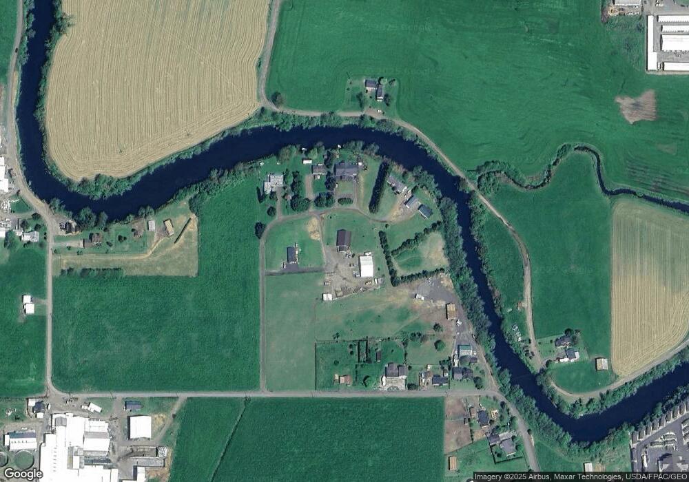
Map
Nearby Homes
- 0 Makinster Rd Unit 1902 24-656
- 0 Makinster Rd Unit 1902 24205450
- 0 Ellen Ave
- 0 Tl2402 Alderbrook Rd
- 0 Tl2400 Alderbrook Rd
- 17805 U S 101
- 3960 Latimer Rd
- 1307 3rd St
- 315 Birch Ave
- 1708 4th St
- 2506 1st St
- 1703 4th St
- 412 Birch Ave
- 00101 Wilson River Hwy
- 00201 Wilson River Hwy
- TL #00101 Wilson River Hwy
- TL# 02100 Wilson River Hwy
- Parcel 1 Wilson River Hwy
- Parcel 2 Wilson River Hwy
- 500 etc. Wilson River Hwy
- 1230 Makinster Rd
- 1250 Makinster Rd
- 1260 Makinster Rd
- 1150 Makinster Rd
- 1410 Makinster Rd
- 0 V L Makinster 1902 Rd
- 3300 Boquist Rd N
- 1420 Makinster Rd
- 910 Makinster Rd
- 1530 Makinster Rd
- 100 Makinster Rd
- 1615 Makinster Rd
- 940 Makinster Rd
- 3170 Boquist Rd N
- 1655 Makinster Rd
- 0 V L Makinster 2201 Rd
- 1675 Makinster Rd
- 905 Makinster Rd
- 925 Makinster Rd
- 0 Makinster Rd Unit 2201 23540473