Estimated Value: $101,000 - $144,728
3
Beds
3
Baths
1,505
Sq Ft
$81/Sq Ft
Est. Value
About This Home
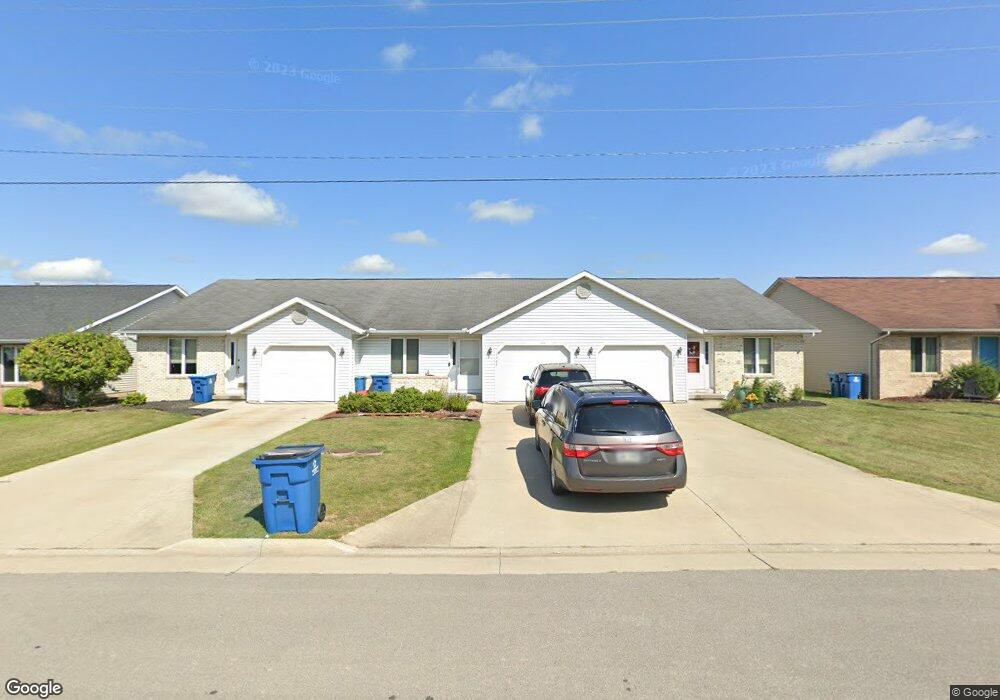
This home is located at 1330 Rays Dr Unit 15, Bryan, OH 43506 and is currently estimated at $121,932, approximately $81 per square foot. 1330 Rays Dr Unit 15 is a home located in Williams County with nearby schools including Bryan Elementary PK-5, Washington Elementary School, and Bryan Middle School/High School.
Ownership History
Date
Name
Owned For
Owner Type
Purchase Details
Closed on
Nov 17, 2025
Sold by
Chehi Anthony Aaron
Bought by
Tewksbury Brent
Current Estimated Value
Home Financials for this Owner
Home Financials are based on the most recent Mortgage that was taken out on this home.
Original Mortgage
$97,000
Outstanding Balance
$96,724
Interest Rate
6.27%
Mortgage Type
New Conventional
Estimated Equity
$25,208
Purchase Details
Closed on
Mar 16, 2023
Sold by
Brodbeck Rusty E
Bought by
Chehi Anthony
Purchase Details
Closed on
Mar 18, 2015
Sold by
Brodbeck Eugene R and Brodbeck Mary J
Bought by
Brodbeck Rusty E and Brodbeck Rocky A
Purchase Details
Closed on
Jan 1, 1990
Bought by
Brodbeck Eugene R
Create a Home Valuation Report for This Property
The Home Valuation Report is an in-depth analysis detailing your home's value as well as a comparison with similar homes in the area
Home Values in the Area
Average Home Value in this Area
Purchase History
| Date | Buyer | Sale Price | Title Company |
|---|---|---|---|
| Tewksbury Brent | $100,000 | Empora Title Llc | |
| Chehi Anthony | -- | None Listed On Document | |
| Brodbeck Rusty E | -- | None Available | |
| Brodbeck Eugene R | -- | -- |
Source: Public Records
Mortgage History
| Date | Status | Borrower | Loan Amount |
|---|---|---|---|
| Open | Tewksbury Brent | $97,000 |
Source: Public Records
Tax History
| Year | Tax Paid | Tax Assessment Tax Assessment Total Assessment is a certain percentage of the fair market value that is determined by local assessors to be the total taxable value of land and additions on the property. | Land | Improvement |
|---|---|---|---|---|
| 2025 | $1,514 | $45,400 | $5,570 | $39,830 |
| 2024 | $1,514 | $45,400 | $5,570 | $39,830 |
| 2023 | $1,537 | $36,690 | $5,850 | $30,840 |
| 2022 | $1,029 | $36,690 | $5,850 | $30,840 |
| 2021 | $1,049 | $36,690 | $5,850 | $30,840 |
| 2020 | $848 | $30,560 | $4,870 | $25,690 |
| 2019 | $841 | $30,560 | $4,870 | $25,690 |
| 2018 | $738 | $30,560 | $4,870 | $25,690 |
| 2017 | $669 | $26,600 | $4,970 | $21,630 |
| 2016 | $631 | $26,600 | $4,970 | $21,630 |
| 2015 | $628 | $26,600 | $4,970 | $21,630 |
| 2014 | $628 | $26,080 | $4,870 | $21,210 |
| 2013 | $670 | $26,080 | $4,870 | $21,210 |
Source: Public Records
Map
Nearby Homes
- 723 W High St
- 144 Deerfield Cir
- 000 C R C (West 828)
- 000 C R C (East 787)
- 1001 Greystone Dr
- 0 Whetstone Unit 7
- 630 Center Ridge Rd
- 425 Oakwood Ave
- 412 Center St
- 128 N Beech St
- 542 S Beech St
- 228 N Beech St
- 13673 County Rd E
- 0 Lynn St Unit 6110702
- 205 Indiana Dr
- 422 S Main St
- 414 Rosemont Ave
- 206 Brown Dr
- 311 W South St
- 1006 S Beech St
- 1330 Rays Dr
- 1320 Rays Dr
- 1410 Rays Dr
- 210 Carson Dr
- 1420 Rays Dr
- 211 Connin St
- 211 Carson Dr
- 222 Carson Dr
- 223 Carson Dr
- 223 Connin St
- 202 John St
- 0 Connin Street Lot # 78
- 0 Connin Street Lot #75
- 0 Connin Street Lot 74
- 0 Connin Street Lot #76
- 0 Connin Street Lot # 74
- 0 Connin Street Lot #73
- 0
- 232 Carson Dr
- 204 John St
Your Personal Tour Guide
Ask me questions while you tour the home.