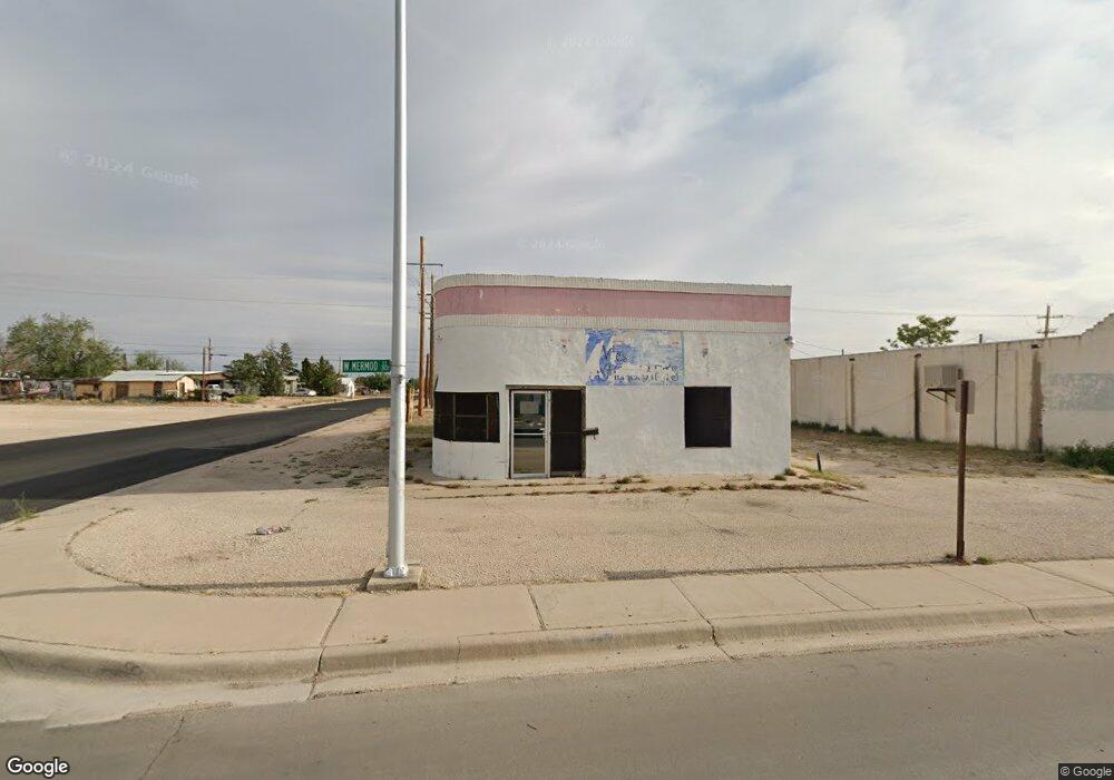
1330 W Mermod St Carlsbad, NM 88220
Estimated Value: $115,413 - $117,000
--
Bed
2
Baths
1,497
Sq Ft
$78/Sq Ft
Est. Value
About This Home
This home is located at 1330 W Mermod St, Carlsbad, NM 88220 and is currently estimated at $116,207, approximately $77 per square foot. 1330 W Mermod St is a home located in Eddy County with nearby schools including Cottonwood Elementary, Cottonwood Elementary School, and Carlsbad Sixth Grade Academy.
Ownership History
Date
Name
Owned For
Owner Type
Purchase Details
Closed on
Apr 2, 2024
Sold by
Campos Abel F and Campos Carol E
Bought by
Garcia Robert D and Garcia Denise S
Current Estimated Value
Purchase Details
Closed on
Jan 26, 2009
Sold by
Campos Patty A Barath and Campbell Patty A
Bought by
Campos Abel F and Campos Carol E
Purchase Details
Closed on
Jan 8, 1998
Sold by
Albright Leroy and Greer Sonya Le
Bought by
Campbell Lonny J and Campbell Patty A
Create a Home Valuation Report for This Property
The Home Valuation Report is an in-depth analysis detailing your home's value as well as a comparison with similar homes in the area
Home Values in the Area
Average Home Value in this Area
Purchase History
| Date | Buyer | Sale Price | Title Company |
|---|---|---|---|
| Garcia Robert D | -- | Pioneer Title | |
| Campos Abel F | -- | Guaranty Title Co | |
| Campos Abel F | -- | Guaranty Title Co | |
| Campbell Lonny J | -- | Guaranty Title Co |
Source: Public Records
Tax History Compared to Growth
Tax History
| Year | Tax Paid | Tax Assessment Tax Assessment Total Assessment is a certain percentage of the fair market value that is determined by local assessors to be the total taxable value of land and additions on the property. | Land | Improvement |
|---|---|---|---|---|
| 2025 | $979 | $33,301 | $7,739 | $25,562 |
| 2024 | $619 | $21,223 | $5,660 | $15,563 |
| 2023 | $619 | $16,803 | $5,660 | $11,143 |
| 2022 | $493 | $16,803 | $5,660 | $11,143 |
| 2021 | $479 | $16,234 | $5,660 | $10,574 |
| 2020 | $357 | $12,096 | $2,772 | $9,324 |
| 2019 | $357 | $12,096 | $2,772 | $9,324 |
| 2018 | $358 | $12,096 | $2,772 | $9,324 |
| 2017 | $358 | $12,096 | $2,772 | $9,324 |
| 2015 | $362 | $0 | $0 | $0 |
| 2014 | $330 | $0 | $0 | $0 |
Source: Public Records
Map
Nearby Homes
- 1403 A W Fox St
- 1005 W Fox St
- 911 W Fox St
- 1405 W Bonbright St
- 606 Chestnut St
- 520 NE 1st St
- 406 Leavel Dr
- 1308 W Luckey St
- 306 N Lake St
- 414 S Mesa St
- 609 N Ash St
- 108 S 5th St
- 307 N Mesquite St
- 508 Leavel Dr
- 1308 W Church St
- 2019 Georgia St
- 2105 Hillcrest
- 1116 Alvarado St
- 2109 Georgia St
- 405 S Guadalupe St
- 1311 W Mermod St
- 1401 W Mermod St
- 1309 W Mermod St
- 1305 W Stevens St
- 1307 W Stevens St
- 1403 W Mermod St
- 105 S Maple St
- 1405 W Mermod St
- 111 N Maple St
- 105 N Olive St
- 108 S Maple St
- 1403 1/2 W Stevens St
- 1403 W Stevens St
- 103 S Olive St
- 105 S Olive St
- 1407 W Mermod St
- 1405 W Stevens St
- 109 N Olive St
- 107 S Maple St
- 110 S Maple St