13300 Beckwith Dr NE Unit A Lowell, MI 49331
Estimated Value: $543,572 - $800,000
--
Bed
1
Bath
3,384
Sq Ft
$193/Sq Ft
Est. Value
About This Home
This home is located at 13300 Beckwith Dr NE Unit A, Lowell, MI 49331 and is currently estimated at $654,143, approximately $193 per square foot. 13300 Beckwith Dr NE Unit A is a home located in Kent County with nearby schools including Murray Lake Elementary School, Lowell Middle School, and Lowell Senior High School.
Ownership History
Date
Name
Owned For
Owner Type
Purchase Details
Closed on
Mar 11, 2005
Sold by
Sefton David R and Sefton Crystal A
Bought by
Oneill Shaun and Oneill Janice
Current Estimated Value
Home Financials for this Owner
Home Financials are based on the most recent Mortgage that was taken out on this home.
Original Mortgage
$63,000
Interest Rate
5.61%
Mortgage Type
Purchase Money Mortgage
Purchase Details
Closed on
Mar 2, 1989
Purchase Details
Closed on
Oct 16, 1986
Create a Home Valuation Report for This Property
The Home Valuation Report is an in-depth analysis detailing your home's value as well as a comparison with similar homes in the area
Home Values in the Area
Average Home Value in this Area
Purchase History
| Date | Buyer | Sale Price | Title Company |
|---|---|---|---|
| Oneill Shaun | $70,000 | -- | |
| -- | $82,000 | -- | |
| -- | $75,400 | -- |
Source: Public Records
Mortgage History
| Date | Status | Borrower | Loan Amount |
|---|---|---|---|
| Closed | Oneill Shaun | $63,000 |
Source: Public Records
Tax History Compared to Growth
Tax History
| Year | Tax Paid | Tax Assessment Tax Assessment Total Assessment is a certain percentage of the fair market value that is determined by local assessors to be the total taxable value of land and additions on the property. | Land | Improvement |
|---|---|---|---|---|
| 2025 | $1,803 | $212,500 | $0 | $0 |
| 2024 | $1,803 | $198,000 | $0 | $0 |
| 2023 | $1,724 | $175,600 | $0 | $0 |
| 2022 | $2,312 | $158,200 | $0 | $0 |
| 2021 | $2,253 | $148,300 | $0 | $0 |
| 2020 | $1,586 | $144,600 | $0 | $0 |
| 2019 | $2,149 | $130,300 | $0 | $0 |
| 2018 | $2,106 | $118,500 | $0 | $0 |
| 2017 | $2,049 | $114,700 | $0 | $0 |
| 2016 | $1,973 | $114,000 | $0 | $0 |
| 2015 | -- | $114,000 | $0 | $0 |
| 2013 | -- | $93,900 | $0 | $0 |
Source: Public Records
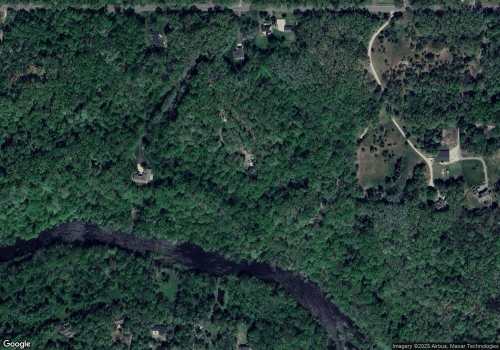
Map
Nearby Homes
- 13164 Beckwith Dr NE
- 13227 Beckwith Dr NE
- 13461 Burroughs St NE
- VL Burroughs St NE
- 12845 Triple Oak Unit 14
- 12873 Triple Oak Dr NE Unit 13
- 699 Lincoln Lake Ave NE
- 14111 Thompson Dr NE
- 12036 Alden Ct NE
- 12020 Alden Ct NE
- 12151 Vergennes St
- 992 N Washington Rd SE
- Cedarwood Plan at Flat River Estates
- Sycamore Plan at Flat River Estates
- Elmwood Plan at Flat River Estates
- Chestnut Plan at Flat River Estates
- Redwood Plan at Flat River Estates
- Whitby Plan at Flat River Estates
- Bay Harbor Plan at Flat River Estates
- Pentwater Plan at Flat River Estates
- 13300 Beckwith Dr NE
- 13400 Beckwith Dr NE
- 13240 Beckwith Dr NE
- 13260 Beckwith Dr NE Unit A
- 13260 Beckwith Dr NE
- 257 River Pine Dr
- 13318 Beckwith Dr NE
- 13318 Beckwith Dr NE
- 265 River Pine Dr
- 13100 Beckwith Dr NE Unit Parcel D
- 13100 Beckwith Dr NE Unit Parcel C
- 13100 Beckwith Dr NE Unit Parcel B
- 13100 Beckwith Dr NE Unit Parcel A
- 13850 Beckwith Dr NE
- 14100 Beckwith Dr NE
- 12910 Beckwith Dr NE
- 13100 Beckwith Dr NE
- 249 River Pine Dr
- 13238 Beckwith Dr NE
- 13480 Beckwith Dr NE