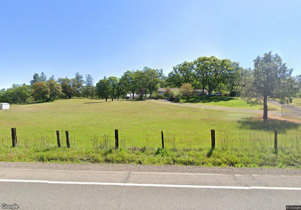
13300 Table Rock Rd Central Point, OR 97502
Estimated Value: $638,000 - $955,000
2
Beds
2
Baths
2,237
Sq Ft
$348/Sq Ft
Est. Value
About This Home
This home is located at 13300 Table Rock Rd, Central Point, OR 97502 and is currently estimated at $779,055, approximately $348 per square foot. 13300 Table Rock Rd is a home located in Jackson County with nearby schools including Sams Valley Elementary School, Hanby Middle School, and Crater High School.
Ownership History
Date
Name
Owned For
Owner Type
Purchase Details
Closed on
Apr 22, 2010
Sold by
Keltner Susan
Bought by
Keltner Charles and Keltner Susan
Current Estimated Value
Purchase Details
Closed on
Sep 1, 2009
Sold by
Reid Nancy
Bought by
Keltner Susan
Purchase Details
Closed on
Aug 17, 2007
Sold by
Holmes Joellen
Bought by
Holmes Joellen and Thomas H Holmes Family Trust
Purchase Details
Closed on
Aug 3, 2000
Sold by
Holmes Thomas H and Holmes Jo Ellen
Bought by
Holmes Thomas H and Holmes Joellen N
Create a Home Valuation Report for This Property
The Home Valuation Report is an in-depth analysis detailing your home's value as well as a comparison with similar homes in the area
Home Values in the Area
Average Home Value in this Area
Purchase History
| Date | Buyer | Sale Price | Title Company |
|---|---|---|---|
| Keltner Charles | -- | None Available | |
| Keltner Susan | -- | None Available | |
| Holmes Joellen | -- | None Available | |
| Holmes Thomas H | -- | -- |
Source: Public Records
Tax History Compared to Growth
Tax History
| Year | Tax Paid | Tax Assessment Tax Assessment Total Assessment is a certain percentage of the fair market value that is determined by local assessors to be the total taxable value of land and additions on the property. | Land | Improvement |
|---|---|---|---|---|
| 2025 | $5,578 | $494,290 | $181,300 | $312,990 |
| 2024 | $5,578 | $479,900 | $176,020 | $303,880 |
| 2023 | $5,419 | $465,930 | $170,890 | $295,040 |
| 2022 | $5,249 | $465,930 | $170,890 | $295,040 |
| 2021 | $4,977 | $452,360 | $165,910 | $286,450 |
| 2020 | $4,863 | $439,190 | $161,060 | $278,130 |
| 2019 | $4,727 | $413,990 | $151,810 | $262,180 |
| 2018 | $4,577 | $401,940 | $147,400 | $254,540 |
| 2017 | $4,479 | $401,940 | $147,400 | $254,540 |
| 2016 | $4,342 | $378,880 | $138,930 | $239,950 |
| 2015 | $4,177 | $378,880 | $138,930 | $239,950 |
| 2014 | $4,078 | $357,140 | $130,960 | $226,180 |
Source: Public Records
Map
Nearby Homes
- 11515 Michael Rd
- 11615 Michael Rd
- 3388 McMartin Ln
- 11162 Duggan Rd
- 250 Robleda Dr
- 12373 Duggan Rd
- 12877 Perry Rd
- 12202 Antioch Rd
- 396 Crossway Dr
- 11100 Meadows Rd
- 0 Duggan Rd Unit 220198974
- 13794 Perry Rd
- 207 Crossway Dr
- 11441 Meadows Rd
- 6617 Dodge Rd
- 180 Glass Ln
- 13007 Perry Rd
- 14853 Antioch Rd
- 3659 Highway 234
- 12214 Modoc Rd
- 13188 Table Rock Rd
- 13455 Table Rock Rd
- 13113 Table Rock Rd
- 13553 Table Rock Rd
- 13577 Table Rock Rd
- 13618 Table Rock Rd
- 13290 Table Rock Rd
- 13500 Table Rock Rd
- 13663 Table Rock Rd
- 12916 Table Rock Rd
- 13705 Table Rock Rd
- 12944 Table Rock Rd
- 13400 Table Rock Rd
- 2801 Tresham Ln
- 13540 Table Rock Rd
- 3040 Tresham Ln
- 2946 McMartin Rd
- 14000 Table Rock Rd
- 11756 Dixie Rd
- 3000 Tresham Ln