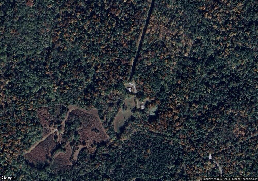
1331 Parrish Rd Linden, TN 37096
Estimated Value: $90,973 - $256,000
--
Bed
1
Bath
1,398
Sq Ft
$119/Sq Ft
Est. Value
About This Home
This home is located at 1331 Parrish Rd, Linden, TN 37096 and is currently estimated at $166,743, approximately $119 per square foot. 1331 Parrish Rd is a home located in Perry County.
Ownership History
Date
Name
Owned For
Owner Type
Purchase Details
Closed on
Jul 18, 2025
Sold by
Parrish Tammy
Bought by
King David Justin and King Rachel
Current Estimated Value
Home Financials for this Owner
Home Financials are based on the most recent Mortgage that was taken out on this home.
Original Mortgage
$67,587
Outstanding Balance
$66,305
Interest Rate
6.84%
Mortgage Type
New Conventional
Estimated Equity
$100,438
Purchase Details
Closed on
Apr 5, 1995
Bought by
Parrish Kenneth Dwayne
Purchase Details
Closed on
Oct 27, 1956
Bought by
Parrish Billy
Create a Home Valuation Report for This Property
The Home Valuation Report is an in-depth analysis detailing your home's value as well as a comparison with similar homes in the area
Home Values in the Area
Average Home Value in this Area
Purchase History
| Date | Buyer | Sale Price | Title Company |
|---|---|---|---|
| King David Justin | $66,000 | None Listed On Document | |
| King David Justin | $66,000 | None Listed On Document | |
| Parrish Kenneth Dwayne | -- | -- | |
| Parrish Billy | -- | -- |
Source: Public Records
Mortgage History
| Date | Status | Borrower | Loan Amount |
|---|---|---|---|
| Open | King David Justin | $67,587 | |
| Closed | King David Justin | $67,587 |
Source: Public Records
Tax History Compared to Growth
Tax History
| Year | Tax Paid | Tax Assessment Tax Assessment Total Assessment is a certain percentage of the fair market value that is determined by local assessors to be the total taxable value of land and additions on the property. | Land | Improvement |
|---|---|---|---|---|
| 2024 | $279 | $12,150 | $1,600 | $10,550 |
| 2023 | $279 | $12,150 | $1,600 | $10,550 |
| 2022 | $279 | $12,150 | $1,600 | $10,550 |
| 2021 | $279 | $12,150 | $1,600 | $10,550 |
| 2020 | $279 | $12,150 | $1,600 | $10,550 |
| 2019 | $275 | $11,100 | $1,600 | $9,500 |
| 2018 | $275 | $11,100 | $1,600 | $9,500 |
| 2017 | $272 | $11,100 | $1,600 | $9,500 |
| 2016 | $272 | $11,100 | $1,600 | $9,500 |
| 2015 | $267 | $11,100 | $1,600 | $9,500 |
| 2014 | $267 | $11,100 | $1,600 | $9,500 |
| 2013 | $239 | $9,954 | $0 | $0 |
Source: Public Records
Map
Nearby Homes
- 0 Parrish Rd
- 16281 Highway 438 W
- 2899 Lower Lick Creek Rd
- 48 Old Pump Station Rd
- 173 Cross Creek Ln
- 5005 Bunches Chapel Rd
- 570 Beasley Hollow Rd
- 2743 Mouse Tail Rd
- 0 Hwy 438 W Unit RTC3002767
- 190 Pine Tree Dr
- 0 Mouse Tail Rd Unit 2503762
- 0 Mouse Tail Rd Unit 10203288
- 0 Mouse Tail Rd Unit RTC2972501
- 000 Mouse Tail Rd
- 0 Mouse Tail Rd Unit RTC2807663
- 0 Mouse Tail Rd
- xxxx Mouse Tail Rd
- 1791 Deer Creek Rd
- 0 Denton Rd Unit RTC2759069
- 9097 Denton Rd
- 72 Cook Cir
- 276 Mousetail Landing
- 15778 Highway 438 W
- 15778 Highway 438 W
- 1947 Mcknight Rd
- 15924 Highway 438 W
- 0 Highway 438 W Unit 1975836
- 0 Highway 438 W Unit 1970436
- 0 Highway 438 W Unit 1864101
- 0 Highway 438 W Unit 1835566
- 0 Highway 438 W Unit 1753411
- 0 Highway 438 W Unit RTC2675252
- 0 Highway 438 W Unit RTC2600036
- 0 Highway 438 W Unit RTC2565916
- 0 Highway 438 W Unit RTC2424214
- 0 Highway 438 W Unit 2244926
- 0 Highway 438 W Unit 2124986
