13310 N 450th St Martinsville, IL 62442
Estimated Value: $24,000 - $123,000
--
Bed
--
Bath
--
Sq Ft
5,140
Sq Ft Lot
About This Home
This home is located at 13310 N 450th St, Martinsville, IL 62442 and is currently estimated at $66,667. 13310 N 450th St is a home located in Clark County with nearby schools including Monroe Elementary School and Casey-Westfield Jr-Sr High School.
Ownership History
Date
Name
Owned For
Owner Type
Purchase Details
Closed on
Jun 17, 2011
Sold by
Gowin Jeffrey L
Bought by
Clark Michael J
Current Estimated Value
Home Financials for this Owner
Home Financials are based on the most recent Mortgage that was taken out on this home.
Original Mortgage
$3,950
Interest Rate
4.63%
Mortgage Type
Purchase Money Mortgage
Purchase Details
Closed on
Oct 1, 2007
Sold by
Durnal Dennis W and Durnal Teryl
Bought by
Gowin Jeffrey L
Create a Home Valuation Report for This Property
The Home Valuation Report is an in-depth analysis detailing your home's value as well as a comparison with similar homes in the area
Home Values in the Area
Average Home Value in this Area
Purchase History
| Date | Buyer | Sale Price | Title Company |
|---|---|---|---|
| Clark Michael J | $5,000 | None Available | |
| Gowin Jeffrey L | $15,000 | None Available |
Source: Public Records
Mortgage History
| Date | Status | Borrower | Loan Amount |
|---|---|---|---|
| Closed | Clark Michael J | $3,950 |
Source: Public Records
Tax History Compared to Growth
Tax History
| Year | Tax Paid | Tax Assessment Tax Assessment Total Assessment is a certain percentage of the fair market value that is determined by local assessors to be the total taxable value of land and additions on the property. | Land | Improvement |
|---|---|---|---|---|
| 2024 | $111 | $1,411 | $1,411 | $0 |
| 2023 | $107 | $1,411 | $1,411 | $0 |
| 2022 | $109 | $1,260 | $1,260 | $0 |
| 2021 | $111 | $1,260 | $1,260 | $0 |
| 2020 | $118 | $1,260 | $1,260 | $0 |
| 2019 | $118 | $1,260 | $1,260 | $0 |
| 2018 | $120 | $1,260 | $1,260 | $0 |
| 2017 | $122 | $1,289 | $1,289 | $0 |
| 2016 | $170 | $1,685 | $1,685 | $0 |
| 2015 | $164 | $1,731 | $1,731 | $0 |
| 2014 | $157 | $1,685 | $1,685 | $0 |
| 2013 | $157 | $1,625 | $1,625 | $0 |
Source: Public Records
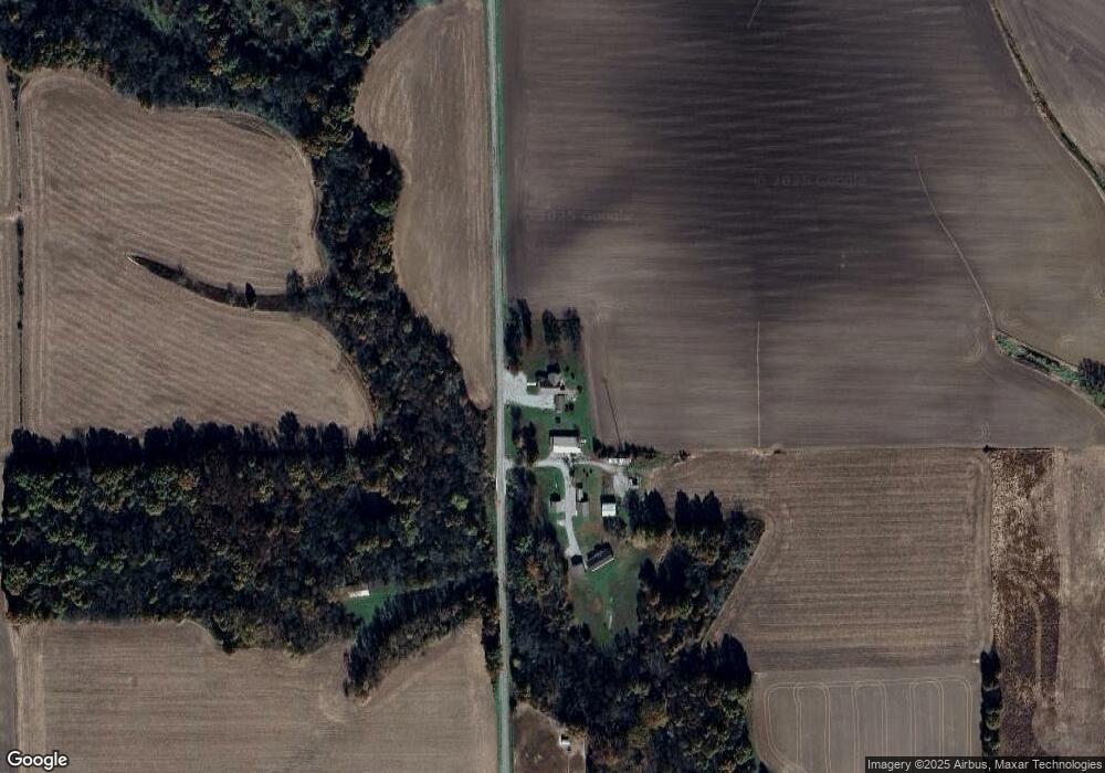
Map
Nearby Homes
- 0 Randall St
- 0 Cumberland St
- 503 E Ohio St
- N 880th St
- 502 E Cumberland St
- 20 Ashley Ln
- 412 E Delaware Ave
- 509 NE 2nd St
- 0 Illinois 49
- 0 Highway 40 W
- 408 E Adams Ave
- 9 W Florida Ave
- 402 SE 7th St
- 606 E Monroe Ave
- 100 E Madison Ave
- 305 E Van Buren Ave
- 112 NW 4th St
- 205 W Madison Ave
- 107 W Van Buren Ave
- 831 County Road 2480e
- 13310 N 450th St
- 13310 N 450th St
- 13310 N 450th St
- 13310 N 450th St
- 13310 N 450th St
- 13310 N 450th St
- 13300 N 450th St
- 5695 E Snake Trail Rd
- 4751 E 1300th Rd
- 4845 E Snake Trail Rd
- 4966 E 1300th Rd
- 400 NE 1300th Rd
- 5033 E 1300th Rd
- 4800 E Us Highway 40
- 4800 E Us Highway 40
- 4993 E 1300th Rd
- 4288 E 1250th Rd
- 4055 E 1250th Rd
- 3752 E 1300th Rd
- 13751 N 550th St