13311 W 165th Ave Lowell, IN 46356
West Creek NeighborhoodEstimated Value: $714,000 - $787,105
4
Beds
2
Baths
3,049
Sq Ft
$246/Sq Ft
Est. Value
About This Home
This home is located at 13311 W 165th Ave, Lowell, IN 46356 and is currently estimated at $750,553, approximately $246 per square foot. 13311 W 165th Ave is a home located in Lake County with nearby schools including Lowell Middle School and Lowell Senior High School.
Ownership History
Date
Name
Owned For
Owner Type
Purchase Details
Closed on
Sep 28, 2007
Sold by
Feiner Thomas L
Bought by
Nestor Ryan P
Current Estimated Value
Home Financials for this Owner
Home Financials are based on the most recent Mortgage that was taken out on this home.
Original Mortgage
$387,000
Outstanding Balance
$245,887
Interest Rate
6.55%
Mortgage Type
Purchase Money Mortgage
Estimated Equity
$504,666
Create a Home Valuation Report for This Property
The Home Valuation Report is an in-depth analysis detailing your home's value as well as a comparison with similar homes in the area
Home Values in the Area
Average Home Value in this Area
Purchase History
| Date | Buyer | Sale Price | Title Company |
|---|---|---|---|
| Nestor Ryan P | -- | Chicago Title Insurance Co |
Source: Public Records
Mortgage History
| Date | Status | Borrower | Loan Amount |
|---|---|---|---|
| Open | Nestor Ryan P | $387,000 |
Source: Public Records
Tax History Compared to Growth
Tax History
| Year | Tax Paid | Tax Assessment Tax Assessment Total Assessment is a certain percentage of the fair market value that is determined by local assessors to be the total taxable value of land and additions on the property. | Land | Improvement |
|---|---|---|---|---|
| 2024 | $12,275 | $652,300 | $281,300 | $371,000 |
| 2023 | $7,657 | $651,500 | $281,300 | $370,200 |
| 2022 | $7,657 | $637,100 | $281,300 | $355,800 |
| 2021 | $4,931 | $466,200 | $130,700 | $335,500 |
| 2020 | $4,658 | $454,000 | $130,700 | $323,300 |
| 2019 | $4,638 | $431,600 | $130,700 | $300,900 |
| 2018 | $4,466 | $415,700 | $130,700 | $285,000 |
| 2017 | $3,374 | $329,000 | $61,300 | $267,700 |
| 2016 | $3,430 | $342,700 | $62,600 | $280,100 |
| 2014 | $3,338 | $334,200 | $63,700 | $270,500 |
| 2013 | $3,297 | $319,800 | $60,200 | $259,600 |
Source: Public Records
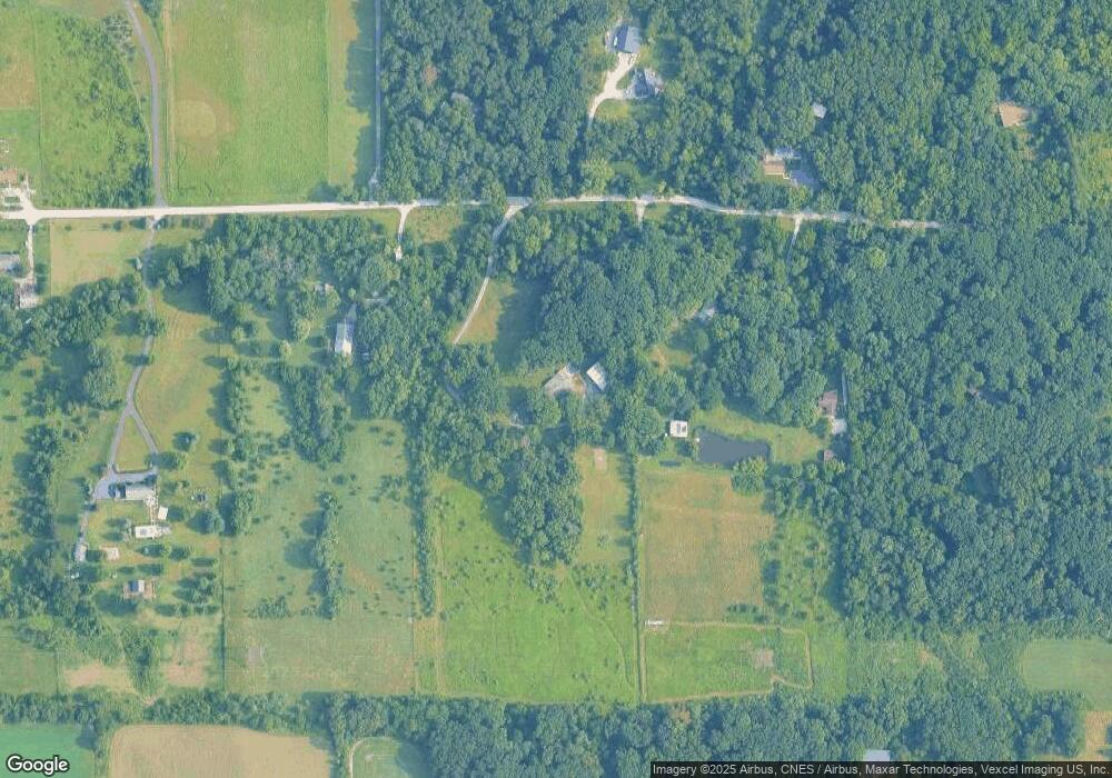
Map
Nearby Homes
- 12610 W 162nd Ave
- 13199 W 169th Ave
- 12312 W 157th Ave
- 15507 Magoun St Unit 10
- 14299 W 153rd Ln
- 12750 W 151st Ave
- 13351 W 181st Ave
- 14664 Sheffield Ave
- 15026 Drummond St
- The Hayes Plan at Lynnsway - The Cottage Homes at Lynnsway
- 9218 W 155th Ave
- 11525 W 143rd Ave
- 615 Debra Kay Dr
- 14846A Carey St Unit A
- 14836A Carey St
- 16280 Parrish Ave
- 872 Valley View Dr
- 14826 Carey St Unit A
- 688 Village Pkwy
- 14486 Clover Ave
- 13115 W 165th Ave Unit 10
- 13105 W 165th Ave Unit 10
- 13438 W 165th Ave
- 13010 W 165th Ave
- 12966 W 165th Ave Unit 10
- 12950 W 165th Ave
- 13511 W 165th Ave
- 12909 W 165th Ave Unit 10
- 12920 W 165th Ave
- 13150 W 169th Ave
- 13509 W 165th Ave
- 13480 W 169th Ave Unit 10
- 13807 W 165th Ave
- 12885 W 165th Ave Unit 10
- 13768 W 165th Ave
- 13510 W 165th Ave
- 16730 White Oak Ave
- 16508 White Oak Ave Unit 10
- 16760 White Oak Ave Unit 10
- 16790 White Oak Ave