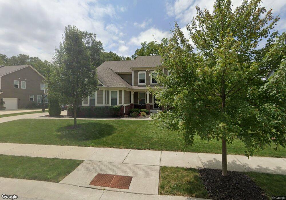
13312 Dennison Dr E Fishers, IN 46037
Estimated Value: $594,000 - $699,000
4
Beds
4
Baths
3,488
Sq Ft
$187/Sq Ft
Est. Value
About This Home
This home is located at 13312 Dennison Dr E, Fishers, IN 46037 and is currently estimated at $650,871, approximately $186 per square foot. 13312 Dennison Dr E is a home with nearby schools including Thorpe Creek Elementary School, Hamilton Southeastern Intermediate / Junior High, and Hamilton Southeastern High School.
Ownership History
Date
Name
Owned For
Owner Type
Purchase Details
Closed on
Nov 13, 2015
Sold by
Calatlantic Home Of Indiana Inc
Bought by
Novack Daniel M and Novack Jennifer P
Current Estimated Value
Home Financials for this Owner
Home Financials are based on the most recent Mortgage that was taken out on this home.
Original Mortgage
$346,615
Outstanding Balance
$267,600
Interest Rate
3.74%
Mortgage Type
New Conventional
Estimated Equity
$383,271
Purchase Details
Closed on
Jun 25, 2015
Sold by
Saratoga Development Llc
Bought by
Rh Of Indiana Lp
Create a Home Valuation Report for This Property
The Home Valuation Report is an in-depth analysis detailing your home's value as well as a comparison with similar homes in the area
Home Values in the Area
Average Home Value in this Area
Purchase History
| Date | Buyer | Sale Price | Title Company |
|---|---|---|---|
| Novack Daniel M | -- | Attorney | |
| Rh Of Indiana Lp | -- | None Available |
Source: Public Records
Mortgage History
| Date | Status | Borrower | Loan Amount |
|---|---|---|---|
| Open | Novack Daniel M | $346,615 |
Source: Public Records
Tax History
| Year | Tax Paid | Tax Assessment Tax Assessment Total Assessment is a certain percentage of the fair market value that is determined by local assessors to be the total taxable value of land and additions on the property. | Land | Improvement |
|---|---|---|---|---|
| 2025 | $6,908 | $645,700 | $75,900 | $569,800 |
| 2024 | $6,614 | $591,300 | $75,900 | $515,400 |
| 2023 | $6,649 | $570,300 | $75,900 | $494,400 |
| 2022 | $6,047 | $502,500 | $75,900 | $426,600 |
| 2021 | $5,398 | $445,100 | $75,900 | $369,200 |
| 2020 | $5,247 | $431,200 | $75,900 | $355,300 |
| 2019 | $5,205 | $427,800 | $72,500 | $355,300 |
| 2018 | $5,263 | $431,400 | $72,500 | $358,900 |
| 2017 | $5,115 | $426,500 | $72,500 | $354,000 |
| 2016 | $5,192 | $433,100 | $72,500 | $360,600 |
Source: Public Records
Map
Nearby Homes
- 15104 Downham Dr
- 13664 Mint Rd
- 15498 Postman Rd
- 15131 Farrington Way
- 15534 Postman Rd
- 15307 Farrington Way
- 15546 Alperton Rd
- 13673 Ruskin Ln
- 15558 Postman Rd
- 15523 Postman Rd
- 15291 Farrington Way
- 15155 Farrington Way
- 15613 Postman Rd
- 15535 Postman Rd
- 15147 Farrington Way
- 15472 Cardonia Rd
- 15139 Farrington Way
- 13685 Ruskin Ln
- 0 E 136th St Unit MBR22040185
- 15437 Eastpark Cir W
- 13302 Dennison Dr E
- 13290 Dennison Dr E
- 13336 Dennison Dr E
- 13336 Dennison Dr E
- 14973 Bonner Cir
- 13278 Dennison Dr E
- 13278 Dennison Dr E
- 13348 Dennison Dr
- 13336 Dennison Dr
- 14957 Bonner Cir
- 13348 Dennison Dr E
- 14941 Bonner Cir
- 13360 Dennison Dr E
- 13349 Dennison Dr E
- 14974 Bonner Cir
- 13266 Dennison Dr E
- 13266 Dennison Dr
- 13361 Dennison Dr E
- 14958 Bonner Cir
Your Personal Tour Guide
Ask me questions while you tour the home.