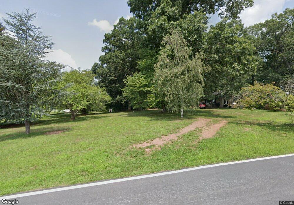
13312 Good Intent Rd Union Bridge, MD 21791
Estimated Value: $741,000 - $1,172,437
--
Bed
4
Baths
3,329
Sq Ft
$311/Sq Ft
Est. Value
About This Home
This home is located at 13312 Good Intent Rd, Union Bridge, MD 21791 and is currently estimated at $1,033,859, approximately $310 per square foot. 13312 Good Intent Rd is a home located in Frederick County with nearby schools including New Midway/Woodsboro Elementary School, Walkersville Middle School, and Walkersville High School.
Ownership History
Date
Name
Owned For
Owner Type
Purchase Details
Closed on
Dec 27, 2004
Sold by
Higgins Dwayne P and Higgins Julia L
Bought by
Higgins Dwayne P and Higgins Julia L
Current Estimated Value
Purchase Details
Closed on
Dec 23, 2004
Sold by
Higgins Dwayne P and Higgins Julia L
Bought by
Higgins Dwayne P and Higgins Julia L
Purchase Details
Closed on
Oct 20, 2004
Sold by
Higgins Paul L and Higgins Harriet
Bought by
Higgins Dwayne P and Higgins Julia L
Purchase Details
Closed on
Oct 15, 2004
Sold by
Higgins Paul L and Higgins Harriet
Bought by
Higgins Dwayne P and Higgins Julia L
Create a Home Valuation Report for This Property
The Home Valuation Report is an in-depth analysis detailing your home's value as well as a comparison with similar homes in the area
Home Values in the Area
Average Home Value in this Area
Purchase History
| Date | Buyer | Sale Price | Title Company |
|---|---|---|---|
| Higgins Dwayne P | -- | -- | |
| Higgins Dwayne P | -- | -- | |
| Higgins Dwayne P | -- | -- | |
| Higgins Dwayne P | -- | -- |
Source: Public Records
Tax History Compared to Growth
Tax History
| Year | Tax Paid | Tax Assessment Tax Assessment Total Assessment is a certain percentage of the fair market value that is determined by local assessors to be the total taxable value of land and additions on the property. | Land | Improvement |
|---|---|---|---|---|
| 2025 | $8,014 | $772,900 | $124,700 | $648,200 |
| 2024 | $8,014 | $711,567 | $0 | $0 |
| 2023 | $7,299 | $650,233 | $0 | $0 |
| 2022 | $6,928 | $588,900 | $104,700 | $484,200 |
| 2021 | $6,905 | $587,933 | $0 | $0 |
| 2020 | $6,905 | $586,967 | $0 | $0 |
| 2019 | $6,894 | $586,000 | $104,700 | $481,300 |
| 2018 | $6,897 | $581,000 | $0 | $0 |
| 2017 | $6,778 | $586,000 | $0 | $0 |
| 2016 | $6,546 | $571,000 | $0 | $0 |
| 2015 | $6,546 | $565,400 | $0 | $0 |
| 2014 | $6,546 | $559,800 | $0 | $0 |
Source: Public Records
Map
Nearby Homes
- 430 Bucher John Rd
- 45 N Main St
- 147 Union Bridge Rd
- 6 N Farquhar St
- 11420 Green Valley Rd
- 12633 Claybaugh Rd
- 6200 Middleburg Rd
- 12613 Good Intent Rd
- 4939 Middleburg Rd
- 718 Francis Scott Key Hwy
- 0 Crouse Mill Rd Unit MDCR2028936
- 0 Crouse Mill
- 57B Hoff Rd
- 244 Stem Rd
- 285 Stem Rd
- 0 Stem Rd
- 1312 Bruceville Rd
- 0 Muth Rd
- 1450 Marble Quarry Rd
- 3875 Bark Hill Rd
- 13302 Good Intent Rd
- 13226 Good Intent Rd
- 13228 Good Intent Rd
- 12230 Good Intent Rd
- 13242 Good Intent Rd
- 13334 Good Intent Rd
- 13214 Good Intent Rd
- 13130 Good Intent Rd
- 13206 Good Intent Rd
- 76 Bucher John Rd
- 13341 Good Intent Rd
- 13420 Good Intent Rd
- 13329 Good Intent Rd
- 13133 Good Intent Rd
- 13410 Rabbit Run Terrace
- 13402 Rabbit Run Terrace
- 13406 Rabbit Run Terrace
- 13408 Rabbit Run Terrace
- 13404 Rabbit Run Terrace
- 13123 Good Intent Rd