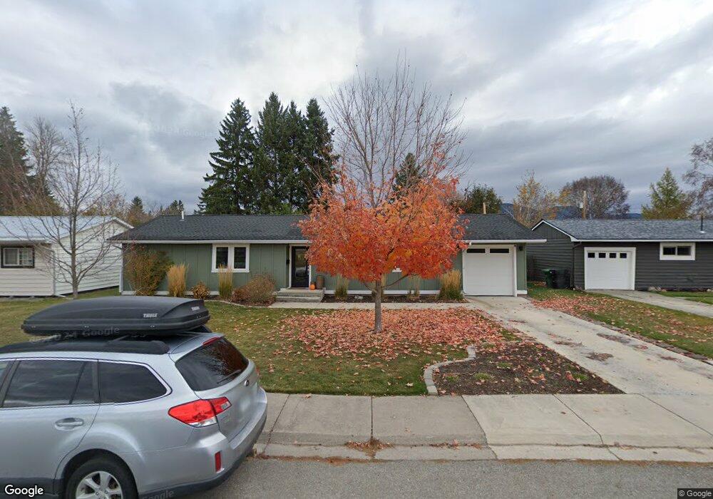
1332 4th St Whitefish, MT 59937
Estimated Value: $750,000 - $836,015
3
Beds
3
Baths
1,690
Sq Ft
$475/Sq Ft
Est. Value
About This Home
This home is located at 1332 4th St, Whitefish, MT 59937 and is currently estimated at $802,672, approximately $474 per square foot. 1332 4th St is a home located in Flathead County with nearby schools including L.A. Muldown School, Whitefish Middle School, and Whitefish High School.
Ownership History
Date
Name
Owned For
Owner Type
Purchase Details
Closed on
May 4, 2015
Sold by
Bohnsack Clyde H and Bohnsack Cheryl M
Bought by
Ostman Jacob A and Ostman Angela S
Current Estimated Value
Home Financials for this Owner
Home Financials are based on the most recent Mortgage that was taken out on this home.
Original Mortgage
$325,000
Outstanding Balance
$250,005
Interest Rate
3.64%
Mortgage Type
New Conventional
Estimated Equity
$552,667
Purchase Details
Closed on
Dec 31, 2013
Sold by
Link Margaret V and Link Guy F
Bought by
Bohnsack Cylde and Bohnsack Cheryl M
Purchase Details
Closed on
Dec 23, 2013
Sold by
Oleary Michael James
Bought by
Link Margaret V and Link Guy F
Purchase Details
Closed on
Jan 9, 2006
Sold by
Oleary Margaret M
Bought by
Link Margaret and Link Guy F
Create a Home Valuation Report for This Property
The Home Valuation Report is an in-depth analysis detailing your home's value as well as a comparison with similar homes in the area
Home Values in the Area
Average Home Value in this Area
Purchase History
| Date | Buyer | Sale Price | Title Company |
|---|---|---|---|
| Ostman Jacob A | -- | Fidelity National Title | |
| Bohnsack Cylde | -- | First American Title Company | |
| Link Margaret V | -- | None Available | |
| Link Margaret | -- | None Available |
Source: Public Records
Mortgage History
| Date | Status | Borrower | Loan Amount |
|---|---|---|---|
| Open | Ostman Jacob A | $325,000 |
Source: Public Records
Tax History Compared to Growth
Tax History
| Year | Tax Paid | Tax Assessment Tax Assessment Total Assessment is a certain percentage of the fair market value that is determined by local assessors to be the total taxable value of land and additions on the property. | Land | Improvement |
|---|---|---|---|---|
| 2025 | $2,758 | $779,900 | $0 | $0 |
| 2024 | $3,256 | $650,700 | $0 | $0 |
| 2023 | $3,598 | $650,700 | $0 | $0 |
| 2022 | $2,891 | $349,700 | $0 | $0 |
| 2021 | $2,888 | $349,700 | $0 | $0 |
| 2020 | $2,848 | $309,500 | $0 | $0 |
| 2019 | $3,044 | $309,500 | $0 | $0 |
| 2018 | $3,341 | $340,900 | $0 | $0 |
| 2017 | $2,757 | $340,900 | $0 | $0 |
| 2016 | $2,494 | $241,400 | $0 | $0 |
| 2015 | $2,310 | $241,400 | $0 | $0 |
| 2014 | $2,133 | $132,235 | $0 | $0 |
Source: Public Records
Map
Nearby Homes
- 1319 3rd St
- 162 Armory Rd
- 89 Armory Rd
- 169 Mountain Brook Ln
- 533 Park Ave
- 916 2nd St E
- 424 Somers Ave
- 111 Wedgewood Ln
- 1017 Creekview Dr
- 625 Columbia Ave
- 327 Spokane Ave
- 345 Spokane Ave
- 633 Kalispell Ave
- 5150 U S 93
- 919 Columbia Ave Unit A
- 824 10th St
- 317 Central Ave Unit 304
- 317 Central Ave Unit 302
- 317 Central Ave Unit 301
- 560 Spokane Ave