1332 Cushmore Rd Southampton, PA 18966
Estimated Value: $485,000 - $519,000
--
Bed
3
Baths
1,113
Sq Ft
$454/Sq Ft
Est. Value
About This Home
This home is located at 1332 Cushmore Rd, Southampton, PA 18966 and is currently estimated at $505,029, approximately $453 per square foot. 1332 Cushmore Rd is a home located in Bucks County with nearby schools including Davis Elementary School, Klinger Middle School, and William Tennent High School.
Ownership History
Date
Name
Owned For
Owner Type
Purchase Details
Closed on
Aug 29, 2005
Sold by
Kleinert Rebecca and Bilotta Carla
Bought by
Yacovone Phillip A and Yacovone Milagros
Current Estimated Value
Home Financials for this Owner
Home Financials are based on the most recent Mortgage that was taken out on this home.
Original Mortgage
$243,750
Outstanding Balance
$130,325
Interest Rate
5.84%
Mortgage Type
Fannie Mae Freddie Mac
Estimated Equity
$374,704
Purchase Details
Closed on
Mar 21, 1969
Bought by
Pletcher Paul C and Pletcher Elaine D
Create a Home Valuation Report for This Property
The Home Valuation Report is an in-depth analysis detailing your home's value as well as a comparison with similar homes in the area
Home Values in the Area
Average Home Value in this Area
Purchase History
| Date | Buyer | Sale Price | Title Company |
|---|---|---|---|
| Yacovone Phillip A | $325,000 | None Available | |
| Pletcher Paul C | -- | -- |
Source: Public Records
Mortgage History
| Date | Status | Borrower | Loan Amount |
|---|---|---|---|
| Open | Yacovone Phillip A | $243,750 |
Source: Public Records
Tax History Compared to Growth
Tax History
| Year | Tax Paid | Tax Assessment Tax Assessment Total Assessment is a certain percentage of the fair market value that is determined by local assessors to be the total taxable value of land and additions on the property. | Land | Improvement |
|---|---|---|---|---|
| 2025 | $5,508 | $25,750 | $5,640 | $20,110 |
| 2024 | $5,508 | $25,750 | $5,640 | $20,110 |
| 2023 | $5,340 | $25,750 | $5,640 | $20,110 |
| 2022 | $5,228 | $25,750 | $5,640 | $20,110 |
| 2021 | $5,133 | $25,750 | $5,640 | $20,110 |
| 2020 | $5,062 | $25,750 | $5,640 | $20,110 |
| 2019 | $4,876 | $25,750 | $5,640 | $20,110 |
| 2018 | $4,764 | $25,750 | $5,640 | $20,110 |
| 2017 | $4,629 | $25,750 | $5,640 | $20,110 |
| 2016 | -- | $25,750 | $5,640 | $20,110 |
| 2015 | -- | $25,750 | $5,640 | $20,110 |
| 2014 | -- | $25,750 | $5,640 | $20,110 |
Source: Public Records
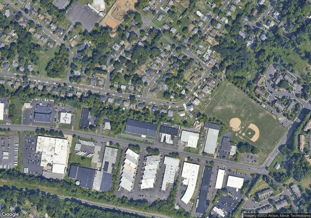
Map
Nearby Homes
- 685 Provident Rd
- 693 Provident Rd
- 681 Provident Rd
- 689 Pickering Rd
- 247 Gravel Hill Rd
- 523 Jason Dr
- 643 Croft Dr
- 215 Gravel Hill Rd
- 543 Jason Dr
- 1001 Rozel Ave
- 1535 Fieldwood Rd
- 111 Beechwood Dr
- 1555 Fieldwood Rd
- 967 Jeffrey Dr
- 1581 Heather Rd
- 603 Steamboat Station Unit 603
- 122 Stephenson Way
- 721 Grantham Ct
- 905 Pebble Ln
- 1735 Autumn Leaf Ln
- 1340 Cushmore Rd
- 1324 Cushmore Rd
- 1316 Cushmore Rd
- 1348 Cushmore Rd
- 511 Melrose Ave
- 1308 Cushmore Rd
- 1349 Cushmore Rd
- 1356 Cushmore Rd
- 523 Melrose Ave
- 1309 Cushmore Rd
- 1300 Cushmore Rd
- 1371 Cushmore Rd
- 531 Melrose Ave
- 1364 Cushmore Rd
- 1303 Cushmore Rd
- 518 Melrose Ave
- 1284 Cushmore Rd
- 539 Melrose Ave
- 1285 Cushmore Rd
- 1379 Cushmore Rd