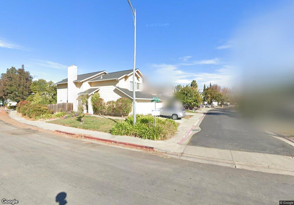
1332 Muench Ct San Jose, CA 95131
Townsend NeighborhoodEstimated Value: $1,426,235 - $1,586,000
3
Beds
3
Baths
1,662
Sq Ft
$912/Sq Ft
Est. Value
About This Home
This home is located at 1332 Muench Ct, San Jose, CA 95131 and is currently estimated at $1,515,309, approximately $911 per square foot. 1332 Muench Ct is a home located in Santa Clara County with nearby schools including Brooktree Elementary School, Morrill Middle School, and Independence High School.
Ownership History
Date
Name
Owned For
Owner Type
Purchase Details
Closed on
Feb 1, 2021
Sold by
Chou Jim
Bought by
Chou Jim and Lee Catherine Khanh
Current Estimated Value
Purchase Details
Closed on
Sep 6, 2000
Sold by
Chou Jim and Chou Jeng
Bought by
Chou Jim
Home Financials for this Owner
Home Financials are based on the most recent Mortgage that was taken out on this home.
Original Mortgage
$100,000
Interest Rate
8.13%
Mortgage Type
Credit Line Revolving
Create a Home Valuation Report for This Property
The Home Valuation Report is an in-depth analysis detailing your home's value as well as a comparison with similar homes in the area
Home Values in the Area
Average Home Value in this Area
Purchase History
| Date | Buyer | Sale Price | Title Company |
|---|---|---|---|
| Chou Jim | -- | None Available | |
| Chou Jim | -- | Chicago Title |
Source: Public Records
Mortgage History
| Date | Status | Borrower | Loan Amount |
|---|---|---|---|
| Closed | Chou Jim | $100,000 |
Source: Public Records
Tax History Compared to Growth
Tax History
| Year | Tax Paid | Tax Assessment Tax Assessment Total Assessment is a certain percentage of the fair market value that is determined by local assessors to be the total taxable value of land and additions on the property. | Land | Improvement |
|---|---|---|---|---|
| 2025 | $5,522 | $312,144 | $93,691 | $218,453 |
| 2024 | $5,522 | $306,024 | $91,854 | $214,170 |
| 2023 | $5,393 | $300,024 | $90,053 | $209,971 |
| 2022 | $5,351 | $294,142 | $88,288 | $205,854 |
| 2021 | $5,149 | $288,375 | $86,557 | $201,818 |
| 2020 | $4,969 | $285,419 | $85,670 | $199,749 |
| 2019 | $4,775 | $279,824 | $83,991 | $195,833 |
| 2018 | $4,694 | $274,339 | $82,345 | $191,994 |
| 2017 | $4,702 | $268,961 | $80,731 | $188,230 |
| 2016 | $4,506 | $263,689 | $79,149 | $184,540 |
| 2015 | $4,448 | $259,730 | $77,961 | $181,769 |
| 2014 | $3,854 | $254,643 | $76,434 | $178,209 |
Source: Public Records
Map
Nearby Homes
- 1325 Araujo St
- 1337 Araujo St
- 1735 Parkview Green Cir
- 1612 Parkview Green Cir
- 1291 Royal Crest Dr
- 1273 Briarberry Ct
- 1578 Thorncrest Dr
- 1441 Rocklin Ct Unit 112
- 1399 Meadow Ridge Cir
- 1475 Leaftree Cir
- 1296 Mayberry Ln
- 1360 Tanaka Dr
- 1496 Bellemeade St
- 1538 Neleigh Place
- 1652 Solari Place
- 0 Lundy Ave
- 1036 Onofrio Ln Unit 6
- 1368 Neleigh Place
- 314 Morning Star Dr Unit 38
- 324 Morning Star Dr Unit 43