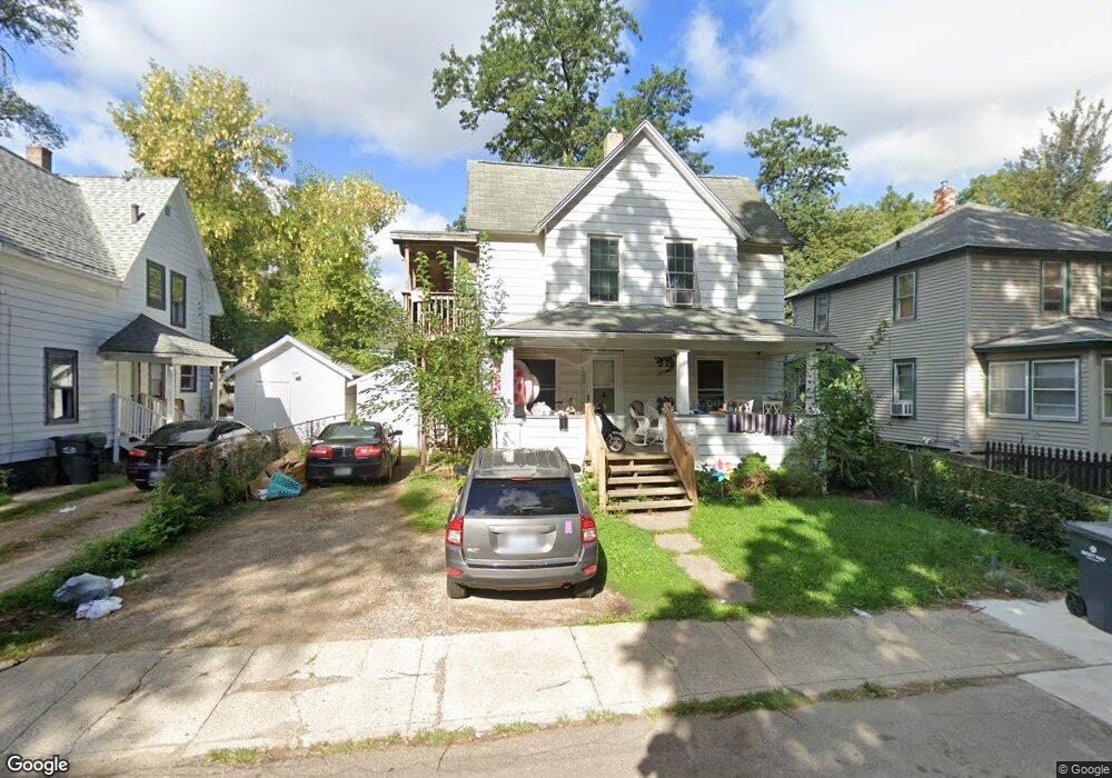
1332 Poplar Plc Kalamazoo, MI 49001
Edison NeighborhoodEstimated Value: $85,000 - $127,000
--
Bed
3
Baths
1,315
Sq Ft
$85/Sq Ft
Est. Value
About This Home
This home is located at 1332 Poplar Plc, Kalamazoo, MI 49001 and is currently estimated at $112,028, approximately $85 per square foot. 1332 Poplar Plc is a home located in Kalamazoo County with nearby schools including Edison Environmental Science Academy, Maple Street Magnet School for the Arts, and Loy Norrix High School.
Ownership History
Date
Name
Owned For
Owner Type
Purchase Details
Closed on
Jul 26, 2019
Sold by
Patton Erica
Bought by
Breznau Thomas C
Current Estimated Value
Home Financials for this Owner
Home Financials are based on the most recent Mortgage that was taken out on this home.
Original Mortgage
$41,625
Outstanding Balance
$36,478
Interest Rate
3.73%
Mortgage Type
New Conventional
Estimated Equity
$75,550
Purchase Details
Closed on
Oct 24, 2015
Sold by
The Robert C & Renate H Savage Living Tr
Bought by
Patton Erica
Create a Home Valuation Report for This Property
The Home Valuation Report is an in-depth analysis detailing your home's value as well as a comparison with similar homes in the area
Home Values in the Area
Average Home Value in this Area
Purchase History
| Date | Buyer | Sale Price | Title Company |
|---|---|---|---|
| Breznau Thomas C | $55,500 | None Available | |
| Patton Erica | $19,900 | Devon Title Company |
Source: Public Records
Mortgage History
| Date | Status | Borrower | Loan Amount |
|---|---|---|---|
| Open | Breznau Thomas C | $41,625 |
Source: Public Records
Tax History Compared to Growth
Tax History
| Year | Tax Paid | Tax Assessment Tax Assessment Total Assessment is a certain percentage of the fair market value that is determined by local assessors to be the total taxable value of land and additions on the property. | Land | Improvement |
|---|---|---|---|---|
| 2025 | $901 | $51,100 | $0 | $0 |
| 2024 | $874 | $39,300 | $0 | $0 |
| 2023 | $833 | $34,900 | $0 | $0 |
| 2022 | $1,914 | $29,700 | $0 | $0 |
| 2021 | $1,851 | $29,900 | $0 | $0 |
| 2020 | $1,816 | $26,400 | $0 | $0 |
| 2019 | $1,605 | $21,600 | $0 | $0 |
| 2018 | $1,541 | $19,500 | $0 | $0 |
| 2017 | $1,273 | $20,000 | $0 | $0 |
| 2016 | $1,273 | $19,700 | $0 | $0 |
| 2015 | $1,273 | $19,300 | $0 | $0 |
| 2014 | $1,273 | $17,800 | $0 | $0 |
Source: Public Records
Map
Nearby Homes
- 1212 Washington Ave
- 1315 E Stockbridge Ave
- 1111 Washington Ave
- 1312 Wells Place
- 1129 Mills St
- 1517 E Stockbridge Ave
- 923 E Stockbridge Ave
- 1519 E Stockbridge Ave
- 1028 Clinton Ave
- 1612 E Stockbridge Ave
- 1415 Hays Park Ave
- 816 E Stockbridge Ave
- 117 E Stockbridge Ave
- 1336 Portage St
- 1721 Egleston Ave
- 739 Egleston Ave
- 907 Russell St
- 855 Lay Blvd
- 1114 Lane Blvd
- 839 Lay Blvd
- 1324 Poplar Place
- 1324 Poplar Plc
- 1320 Poplar Place
- 1328 Poplar Place
- 1332 Poplar Place
- 1316 Poplar Place
- 1323 Poplar Place
- 1319 Poplar Place
- 1327 Poplar Place
- 1223 E Stockbridge Ave
- 1315 Poplar Place
- 1217 E Stockbridge Ave
- 1222 Washington Ave
- 1226 Washington Ave
- 1321 James St
- 1303 E Stockbridge Ave Unit 2
- 1303 E Stockbridge Ave Unit 1
- 1230 Washington Ave
- 1327 James St
- 1216 Washington Ave