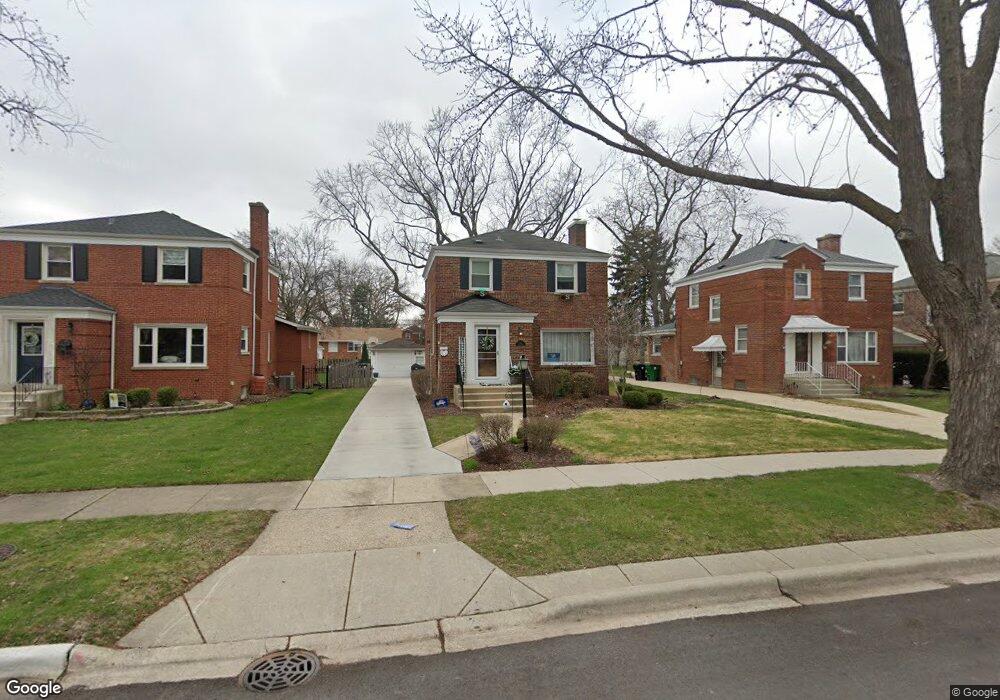
1332 Suffolk Ave Westchester, IL 60154
Estimated Value: $309,000 - $356,000
3
Beds
1
Bath
1,334
Sq Ft
$252/Sq Ft
Est. Value
About This Home
This home is located at 1332 Suffolk Ave, Westchester, IL 60154 and is currently estimated at $336,548, approximately $252 per square foot. 1332 Suffolk Ave is a home located in Cook County with nearby schools including Westchester Primary School, Westchester Intermediate School, and Westchester Middle School.
Ownership History
Date
Name
Owned For
Owner Type
Purchase Details
Closed on
Jun 3, 2024
Sold by
Signore Thomas A and Signore Beth A
Bought by
Thomas And Beth Signore Revocable Trust and Signore
Current Estimated Value
Purchase Details
Closed on
Aug 6, 2012
Sold by
Signore Thomas A and Signore Beth A
Bought by
Signore Thomas A and Signore Beth A
Purchase Details
Closed on
Apr 24, 2000
Sold by
Carson Barbara K
Bought by
Signore Thomas A
Home Financials for this Owner
Home Financials are based on the most recent Mortgage that was taken out on this home.
Original Mortgage
$161,667
Interest Rate
8.24%
Mortgage Type
FHA
Create a Home Valuation Report for This Property
The Home Valuation Report is an in-depth analysis detailing your home's value as well as a comparison with similar homes in the area
Home Values in the Area
Average Home Value in this Area
Purchase History
| Date | Buyer | Sale Price | Title Company |
|---|---|---|---|
| Thomas And Beth Signore Revocable Trust | -- | None Listed On Document | |
| Signore Thomas A | -- | Stewart Title Company | |
| Signore Thomas A | $163,000 | -- |
Source: Public Records
Mortgage History
| Date | Status | Borrower | Loan Amount |
|---|---|---|---|
| Previous Owner | Signore Thomas A | $161,667 |
Source: Public Records
Tax History Compared to Growth
Tax History
| Year | Tax Paid | Tax Assessment Tax Assessment Total Assessment is a certain percentage of the fair market value that is determined by local assessors to be the total taxable value of land and additions on the property. | Land | Improvement |
|---|---|---|---|---|
| 2024 | $5,166 | $23,000 | $4,690 | $18,310 |
| 2023 | $5,631 | $23,000 | $4,690 | $18,310 |
| 2022 | $5,631 | $21,879 | $4,020 | $17,859 |
| 2021 | $5,477 | $21,878 | $4,020 | $17,858 |
| 2020 | $5,417 | $21,878 | $4,020 | $17,858 |
| 2019 | $5,325 | $22,279 | $3,685 | $18,594 |
| 2018 | $5,254 | $22,279 | $3,685 | $18,594 |
| 2017 | $5,169 | $22,279 | $3,685 | $18,594 |
| 2016 | $4,603 | $18,279 | $3,350 | $14,929 |
| 2015 | $4,507 | $18,279 | $3,350 | $14,929 |
| 2014 | $4,419 | $18,279 | $3,350 | $14,929 |
| 2013 | $4,426 | $20,235 | $3,350 | $16,885 |
Source: Public Records
Map
Nearby Homes
- 10072 Drury Ln
- 1119 Newcastle Ave
- 1500 Bristol Ave
- 920 Suffolk Ave
- 923 Manchester Ave
- 1623 Manchester Ave
- 1601 Bristol Ave
- 1247 S Mannheim Rd Unit 3
- 814 Norfolk Ave
- 805 Norfolk Ave
- 1816 Manchester Ave
- 750 Bristol Ave
- 1840 Gardner Rd
- 1907 Suffolk Ave
- 1900 Manchester Ave
- 723 Balmoral Ave
- 626 Manchester Ave
- 10524 Camelot St
- 10531 Camelot St
- 1932 Newcastle Ave
- 1326 Suffolk Ave
- 1336 Suffolk Ave
- 1320 Suffolk Ave
- 1342 Suffolk Ave
- 1331 Portsmouth Ave
- 1335 Portsmouth Ave
- 1346 Suffolk Ave
- 1316 Suffolk Ave
- 1325 Portsmouth Ave
- 1341 Portsmouth Ave
- 1321 Portsmouth Ave
- 1352 Suffolk Ave
- 1347 Portsmouth Ave
- 1337 Suffolk Ave
- 1331 Suffolk Ave
- 1341 Suffolk Ave
- 1325 Suffolk Ave
- 1317 Portsmouth Ave
- 1310 Suffolk Ave
- 1353 Portsmouth Ave