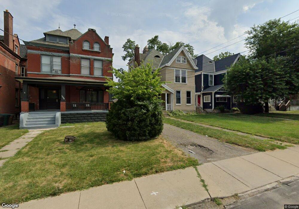
1332 Wm H Taft Rd Cincinnati, OH 45206
East Walnut Hills NeighborhoodEstimated Value: $338,621 - $589,000
3
Beds
3
Baths
2,887
Sq Ft
$156/Sq Ft
Est. Value
About This Home
This home is located at 1332 Wm H Taft Rd, Cincinnati, OH 45206 and is currently estimated at $450,155, approximately $155 per square foot. 1332 Wm H Taft Rd is a home located in Hamilton County with nearby schools including Frederick Douglass Elementary School, Robert A. Taft Information Technology High School, and Clark Montessori High School.
Ownership History
Date
Name
Owned For
Owner Type
Purchase Details
Closed on
Apr 20, 2012
Sold by
Equity Trust Company
Bought by
Recalde Herman
Current Estimated Value
Home Financials for this Owner
Home Financials are based on the most recent Mortgage that was taken out on this home.
Original Mortgage
$76,000
Interest Rate
5%
Mortgage Type
Seller Take Back
Purchase Details
Closed on
Aug 17, 2011
Sold by
Thornhill Flossie Lee
Bought by
Etc and Ira 106645
Create a Home Valuation Report for This Property
The Home Valuation Report is an in-depth analysis detailing your home's value as well as a comparison with similar homes in the area
Home Values in the Area
Average Home Value in this Area
Purchase History
| Date | Buyer | Sale Price | Title Company |
|---|---|---|---|
| Recalde Herman | $76,000 | None Available | |
| Etc | $6,634 | Attorney |
Source: Public Records
Mortgage History
| Date | Status | Borrower | Loan Amount |
|---|---|---|---|
| Closed | Recalde Herman | $76,000 |
Source: Public Records
Tax History Compared to Growth
Tax History
| Year | Tax Paid | Tax Assessment Tax Assessment Total Assessment is a certain percentage of the fair market value that is determined by local assessors to be the total taxable value of land and additions on the property. | Land | Improvement |
|---|---|---|---|---|
| 2024 | $3,705 | $58,444 | $5,849 | $52,595 |
| 2023 | $3,711 | $58,444 | $5,849 | $52,595 |
| 2022 | $1,711 | $24,150 | $4,872 | $19,278 |
| 2021 | $1,679 | $24,150 | $4,872 | $19,278 |
| 2020 | $1,684 | $24,150 | $4,872 | $19,278 |
| 2019 | $1,849 | $24,150 | $4,872 | $19,278 |
| 2018 | $3,709 | $48,510 | $4,872 | $43,638 |
| 2017 | $2,993 | $40,632 | $4,872 | $35,760 |
| 2016 | $1,995 | $26,373 | $4,526 | $21,847 |
| 2015 | $1,784 | $26,373 | $4,526 | $21,847 |
| 2014 | $829 | $12,125 | $4,526 | $7,599 |
| 2013 | $843 | $12,125 | $4,526 | $7,599 |
Source: Public Records
Map
Nearby Homes
- 2703 Ashland Ave
- 2705 Ashland Ave
- 1382 Burdette Ave
- 2549 Ingleside Ave
- 1520 William Howard Taft Rd
- 1123 Yale Ave
- 2410 Grandview Ave
- 1635 Clayton St
- 1335 Lincoln Ave
- 2621 Hackberry St
- 2356 Park Ave
- 2356 Park Ave Unit 44
- 2369 Park Ave
- 2401 Ingleside Ave
- 2304 Upland Place
- 2530 Hackberry St
- 1019 Chapel St
- 1332 William Howard Taft Rd
- 1330 William Howard Taft Rd
- 1334 William Howard Taft Rd
- 1330 Wm H Taft Rd
- 1328 William Howard Taft Rd
- 1336 William Howard Taft Rd
- 1336 William Howard Taft Rd Unit 2
- 1336 Wm H Taft Rd
- 1338 William Howard Taft Rd
- 1326 William Howard Taft Rd
- 1340 William Howard Taft Rd
- 1335 Burdett Ave
- 1337 Burdett Ave
- 1325 Burdett Ave
- 1322 William Howard Taft Rd
- 1343 Burdett Ave
- 1323 Burdett Ave
- 1342 William Howard Taft Rd
- 1343 Burdette Ave
- 1343 Burdette Ave Unit B