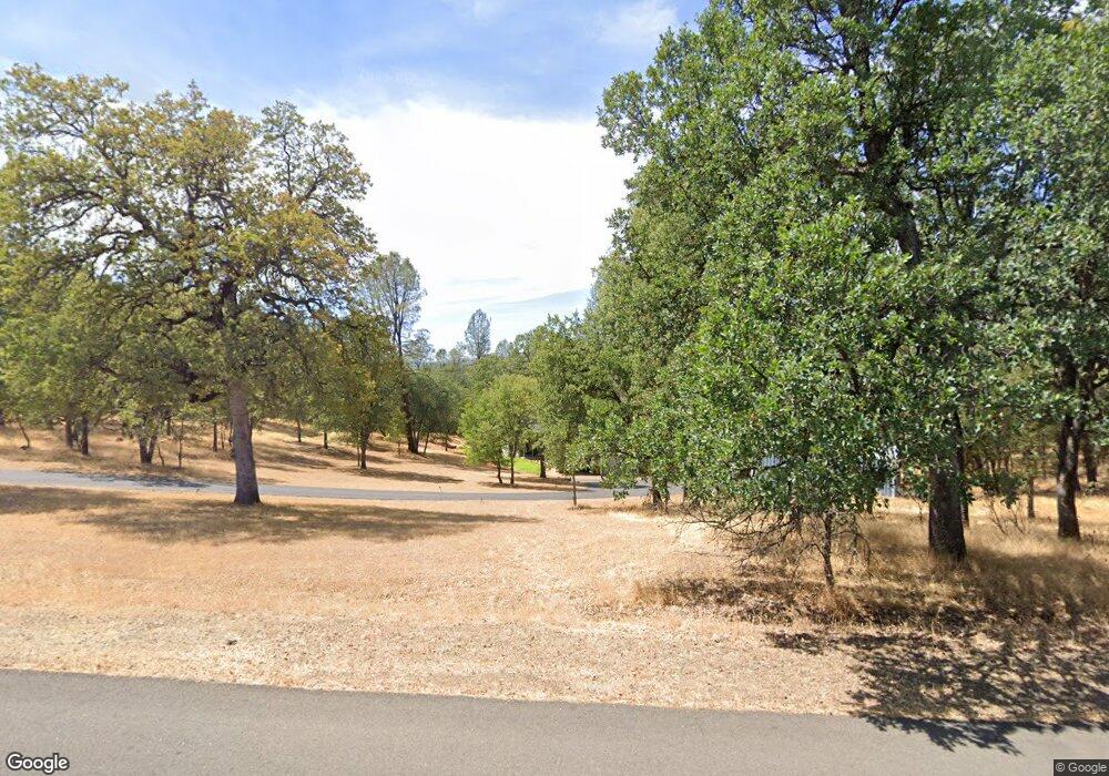
13320 Opal Way Redding, CA 96003
Estimated Value: $451,000 - $633,000
3
Beds
3
Baths
1,900
Sq Ft
$270/Sq Ft
Est. Value
About This Home
This home is located at 13320 Opal Way, Redding, CA 96003 and is currently estimated at $513,770, approximately $270 per square foot. 13320 Opal Way is a home located in Shasta County.
Ownership History
Date
Name
Owned For
Owner Type
Purchase Details
Closed on
Oct 6, 2001
Sold by
Harrison Danneal O and Harrison Melanie R
Bought by
Harrison Danneal O and Harrison Melanie R
Current Estimated Value
Create a Home Valuation Report for This Property
The Home Valuation Report is an in-depth analysis detailing your home's value as well as a comparison with similar homes in the area
Purchase History
| Date | Buyer | Sale Price | Title Company |
|---|---|---|---|
| Harrison Danneal O | -- | -- |
Source: Public Records
Tax History
| Year | Tax Paid | Tax Assessment Tax Assessment Total Assessment is a certain percentage of the fair market value that is determined by local assessors to be the total taxable value of land and additions on the property. | Land | Improvement |
|---|---|---|---|---|
| 2025 | $3,366 | $294,052 | $81,419 | $212,633 |
| 2024 | $3,301 | $288,287 | $79,823 | $208,464 |
| 2023 | $3,301 | $282,635 | $78,258 | $204,377 |
| 2022 | $3,198 | $277,094 | $76,724 | $200,370 |
| 2021 | $3,184 | $271,662 | $75,220 | $196,442 |
| 2020 | $3,152 | $268,877 | $74,449 | $194,428 |
| 2019 | $3,056 | $263,606 | $72,990 | $190,616 |
| 2018 | $3,073 | $258,438 | $71,559 | $186,879 |
| 2017 | $3,023 | $253,371 | $70,156 | $183,215 |
| 2016 | $2,896 | $248,404 | $68,781 | $179,623 |
| 2015 | $2,850 | $244,673 | $67,748 | $176,925 |
| 2014 | $2,857 | $239,881 | $66,421 | $173,460 |
Source: Public Records
Map
Nearby Homes
- 0 Bear Mountain Rd Unit 25-3999
- 0 Spring Lake St
- 13160 Bear Mountain Rd
- 20114 Vernita Dr
- 20700 Bernard Way
- 0 Manzanillo Way Unit 25-2218
- 0 Manzanillo Way Unit 22-4418
- NSA Bernard Way
- 19902 Little Acres Ln
- 12832 Los Osos St
- 20034 Parocast Rd
- 13911 Blue Ridge Dr
- 19924 Woodchuck Trail
- 13335 Tierra Heights Rd
- 13497 Tierra Heights Rd
- 13380 Tierra Heights Rd
- 13320 Tierra Heights Rd
- 13155 Tierra Heights Rd
- 13315 Tierra Heights Rd
- 13498 Tierra Heights Rd
- 20425 Bernard Way
- 13321 Opal Way
- 0 Charron Bernard
- 13272 Opal Way
- 0 Opal Way
- 13264 Opal Way
- 13351 Fernie Way
- 20440 Bernard Way
- 20489 Bernard Way
- 13285 Fernie Way
- 13236 Opal Way
- 20490 Bernard Way
- 13277 Fernie Way
- 13217 Opal Way
- 20509 Bernard Way Unit 1
- 13216 Opal Way
- 13249 Fernie Way
- 13383 Kings Way
- 13225 Opal Way
- 13282 Fernie Way Unit 1
