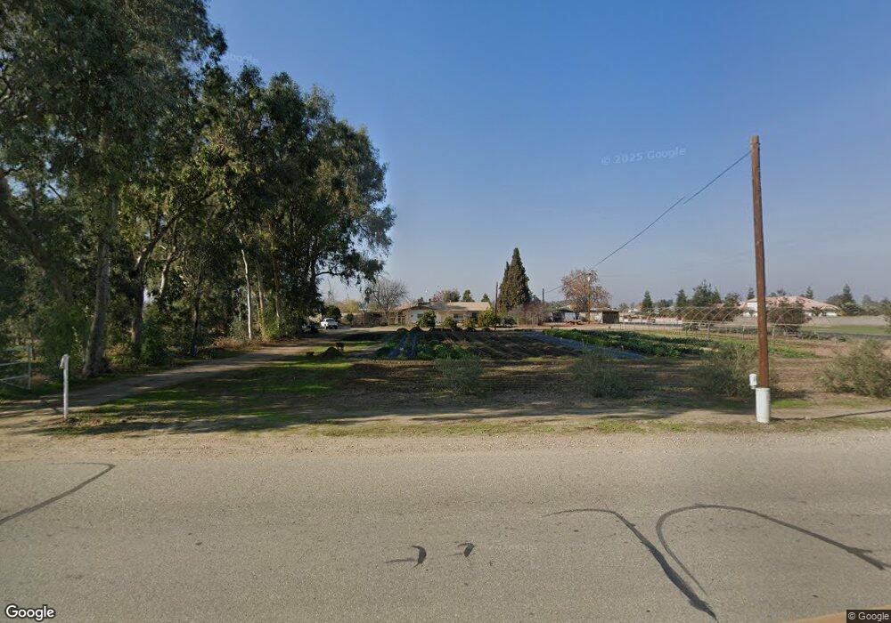
13327 Ashe Rd Bakersfield, CA 93313
Estimated Value: $338,608 - $558,000
2
Beds
1
Bath
1,518
Sq Ft
$284/Sq Ft
Est. Value
About This Home
This home is located at 13327 Ashe Rd, Bakersfield, CA 93313 and is currently estimated at $431,152, approximately $284 per square foot. 13327 Ashe Rd is a home located in Kern County with nearby schools including Lakeside School, General Shafter Elementary School, and Independence High School.
Ownership History
Date
Name
Owned For
Owner Type
Purchase Details
Closed on
Jul 26, 2010
Sold by
Brown David E and Brown Janice
Bought by
Brown Eric D
Current Estimated Value
Home Financials for this Owner
Home Financials are based on the most recent Mortgage that was taken out on this home.
Original Mortgage
$98,671
Interest Rate
4.38%
Create a Home Valuation Report for This Property
The Home Valuation Report is an in-depth analysis detailing your home's value as well as a comparison with similar homes in the area
Purchase History
| Date | Buyer | Sale Price | Title Company |
|---|---|---|---|
| Brown Eric D | $100,000 | Chicago Title Company |
Source: Public Records
Mortgage History
| Date | Status | Borrower | Loan Amount |
|---|---|---|---|
| Previous Owner | Brown Eric D | $98,671 |
Source: Public Records
Tax History
| Year | Tax Paid | Tax Assessment Tax Assessment Total Assessment is a certain percentage of the fair market value that is determined by local assessors to be the total taxable value of land and additions on the property. | Land | Improvement |
|---|---|---|---|---|
| 2025 | $1,068 | $52,082 | $8,324 | $43,758 |
| 2024 | $1,024 | $51,061 | $8,161 | $42,900 |
| 2023 | $1,024 | $50,060 | $8,001 | $42,059 |
| 2022 | $959 | $49,080 | $7,845 | $41,235 |
| 2021 | $881 | $48,119 | $7,692 | $40,427 |
| 2020 | $836 | $47,627 | $7,614 | $40,013 |
| 2019 | $819 | $47,627 | $7,614 | $40,013 |
| 2018 | $787 | $45,779 | $7,319 | $38,460 |
| 2017 | $752 | $44,882 | $7,176 | $37,706 |
| 2016 | $490 | $44,003 | $7,036 | $36,967 |
| 2015 | $486 | $43,343 | $6,931 | $36,412 |
| 2014 | $475 | $42,495 | $6,796 | $35,699 |
Source: Public Records
Map
Nearby Homes
- 13830 Eberle Rd
- 7925 Houghton Rd
- 8023 Immaculate Way
- 8424 Hosey Ave
- 11217 Gosford Rd
- 7926 Bear Mountain Blvd
- 6200 Whaleback Ave
- 5725 Winnipeg Dr
- 5828 Commonwealth Ave
- 0 Bear Mountain Blvd
- 5831 Mardal Ave
- 6012 Esmerelda Ave
- 5918 Esmerelda Ave
- 6021 Bogart Dr
- 5808 Esmerelda Ave
- 6230 Taft Hwy
- 9402 Cobble Mountain Rd
- 9623 Kanosh Cobble Dr
- 6201 Cape Cod Ave
- 9506 Orchard Grass Ct
- 13391 Ashe Rd
- 6649 Rollin Brown Ct Parcel 13 Ct
- 13453 Ashe Rd
- 6650 Rollin Brown Ct
- 6622 Rollin Brown Ct
- 6622 Rollin Brown Ct
- 6723 Rollin Brown Ct
- 6562 Rollin Brown Ct
- 6724 Rollin Brown Parcel 5 Ct
- 6753 Rollin Brown Ct
- 6754 Rollin Brown Parcel 6 Ct
- 6754 Rollin Brown Ct
- 6821 Rollin Brown Ct
- 6822 Rollin Brown Ct
- 6630 Lindsay Rd
- 6853 Rollin Brown Ct
- 6558 Rollin Brown Ct
- 6649 Rollin Brown Ct
- 6644 Lindsay Rd
- 6548 Lindsay Rd
Your Personal Tour Guide
Ask me questions while you tour the home.