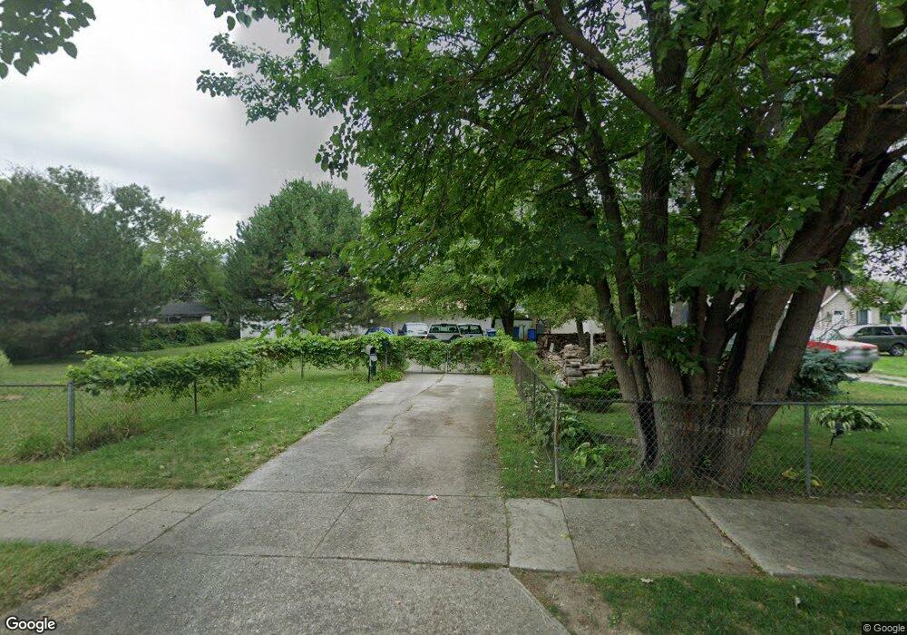
13327 St Andrews Warren, MI 48089
Southeast Warren NeighborhoodEstimated Value: $83,000 - $98,000
1
Bed
1
Bath
862
Sq Ft
$102/Sq Ft
Est. Value
About This Home
This home is located at 13327 St Andrews, Warren, MI 48089 and is currently estimated at $88,067, approximately $102 per square foot. 13327 St Andrews is a home located in Macomb County with nearby schools including Lincoln Middle School, Lincoln High School, and Macomb Montessori Academy.
Ownership History
Date
Name
Owned For
Owner Type
Purchase Details
Closed on
Aug 9, 2016
Sold by
Southeast Plow Llc
Bought by
Landry Michel
Current Estimated Value
Purchase Details
Closed on
Feb 28, 2013
Sold by
Macomb County Properties Llc
Bought by
Buy Right Properties Llc
Purchase Details
Closed on
Feb 28, 2012
Sold by
Pastorino Jay
Bought by
Southeast Plow Llc
Purchase Details
Closed on
Sep 8, 2011
Sold by
Wisnoswki Phillip and Wisnowski Patricia
Bought by
Pastorino Jay
Create a Home Valuation Report for This Property
The Home Valuation Report is an in-depth analysis detailing your home's value as well as a comparison with similar homes in the area
Home Values in the Area
Average Home Value in this Area
Purchase History
| Date | Buyer | Sale Price | Title Company |
|---|---|---|---|
| Landry Michel | -- | Fidelity National Title | |
| Buy Right Properties Llc | $85,000 | Visionary Title Agency Llc | |
| Southeast Plow Llc | -- | None Available | |
| Pastorino Jay | $13,500 | Etitle Agency Inc |
Source: Public Records
Tax History
| Year | Tax Paid | Tax Assessment Tax Assessment Total Assessment is a certain percentage of the fair market value that is determined by local assessors to be the total taxable value of land and additions on the property. | Land | Improvement |
|---|---|---|---|---|
| 2025 | $392 | $14,810 | $0 | $0 |
| 2024 | $5 | $13,710 | $0 | $0 |
| 2023 | $496 | $10,770 | $0 | $0 |
| 2022 | $486 | $8,170 | $0 | $0 |
| 2021 | $475 | $7,800 | $0 | $0 |
| 2020 | $464 | $6,830 | $0 | $0 |
| 2019 | $452 | $6,490 | $0 | $0 |
| 2018 | $409 | $6,480 | $0 | $0 |
| 2017 | $475 | $6,380 | $2,160 | $4,220 |
| 2016 | $385 | $6,380 | $0 | $0 |
| 2015 | -- | $5,520 | $0 | $0 |
| 2012 | -- | $5,810 | $0 | $0 |
Source: Public Records
Map
Nearby Homes
- 22513 Heussner Ave
- 13505 Saint Andrews Ave
- 22458 Hillock Ave
- 22625 Oaklane St
- 13335 Charlotte Ave
- 21855 Schoenherr Rd
- 13467 Charlotte Ave
- 13440 Charlotte Ave
- 13668 Marshall Ave
- 13138 Couwlier Ave
- 12863 Couwlier Ave
- 13849 Leonard Ave
- 13824 Hobart Ave
- 13876 Hendricks Ave
- 13870 Ida Ave
- 12850 Sidonie Ave
- 13983 Hobart Ave
- 13350 Sherman Ave
- 21746 Wellington Ave
- 13985 Toepfer Rd
- 13327 Saint Andrews Ave
- 13319 St Andrews Ave
- 13345 Saint Andrews Ave
- 13319 Saint Andrews Ave
- 13338 Fisk Ave
- 22228 Sharrow Ave
- 13346 Fisk Ave
- 13312 Fisk Ave
- 13309 Saint Andrews Ave
- 13304 Fisk Ave
- 13407 Saint Andrews Ave
- 13408 Fisk Ave
- 13423 Saint Andrews Ave
- 13328 Saint Andrews Ave
- 13320 Saint Andrews Ave
- 13407 St Andrews
- 13344 Saint Andrews Ave
- 13310 Saint Andrews Ave
- 13157 Saint Andrews Ave
- 13320 Fisk Ave
Your Personal Tour Guide
Ask me questions while you tour the home.