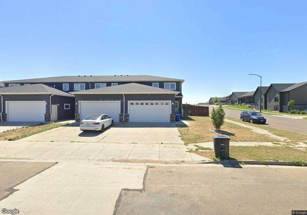
1333 24th St W Dickinson, ND 58601
Estimated Value: $266,000 - $296,908
3
Beds
1
Bath
2,100
Sq Ft
$133/Sq Ft
Est. Value
About This Home
This home is located at 1333 24th St W, Dickinson, ND 58601 and is currently estimated at $279,969, approximately $133 per square foot. 1333 24th St W is a home with nearby schools including Hope Christian Academy and Trinity Catholic Schools.
Ownership History
Date
Name
Owned For
Owner Type
Purchase Details
Closed on
Jul 22, 2024
Sold by
Sullivan Properties Inc
Bought by
870 Llc
Current Estimated Value
Purchase Details
Closed on
Jun 11, 2019
Sold by
Sullivan Properties Inc
Bought by
Mile High Properties Nd Llc
Home Financials for this Owner
Home Financials are based on the most recent Mortgage that was taken out on this home.
Original Mortgage
$160,000
Interest Rate
4.1%
Mortgage Type
Future Advance Clause Open End Mortgage
Create a Home Valuation Report for This Property
The Home Valuation Report is an in-depth analysis detailing your home's value as well as a comparison with similar homes in the area
Home Values in the Area
Average Home Value in this Area
Purchase History
| Date | Buyer | Sale Price | Title Company |
|---|---|---|---|
| 870 Llc | $294,874 | The Title Team | |
| Mile High Properties Nd Llc | $211,500 | None Available |
Source: Public Records
Mortgage History
| Date | Status | Borrower | Loan Amount |
|---|---|---|---|
| Previous Owner | Mile High Properties Nd Llc | $160,000 |
Source: Public Records
Tax History Compared to Growth
Tax History
| Year | Tax Paid | Tax Assessment Tax Assessment Total Assessment is a certain percentage of the fair market value that is determined by local assessors to be the total taxable value of land and additions on the property. | Land | Improvement |
|---|---|---|---|---|
| 2024 | $3,471 | $291,200 | $18,200 | $273,000 |
| 2023 | $3,097 | $291,200 | $18,200 | $273,000 |
| 2022 | $2,954 | $136,300 | $0 | $0 |
| 2021 | $2,866 | $254,000 | $18,200 | $235,800 |
| 2020 | $2,913 | $367,700 | $34,400 | $333,300 |
| 2019 | $1,307 | $367,700 | $34,400 | $333,300 |
| 2017 | $160 | $17,200 | $17,200 | $0 |
| 2015 | $160 | $16,400 | $16,400 | $0 |
| 2014 | $172 | $16,400 | $16,400 | $0 |
| 2013 | -- | $2,300 | $2,300 | $0 |
Source: Public Records
Map
Nearby Homes
- 2418 Prairie Oak Dr
- 1213 24th St W
- 1180 24th St W
- 2321 10th Ave W
- 978 24th St W
- 928 24th St W
- 2178 10th Ave W
- Blk8lot1 17th Ave NW
- 0 Blk 8 Lot 1 17th Ave NW
- 1971 10th Ave W
- 1321 Marilyn Way
- 0 L16 B14 Koch 4th Unit 25-312
- 1959 Prairie Creek Rd
- 0 Blk 8 Lot 4 Prairie Creek Rd NW
- 1973 Prairie Creek Rd
- 836 24th St W
- TBD 21st St W
- 1960 Sunrise Dr
- 1948 Sunrise Dr
- 1936 Sunrise Dr
- 1329 24th St W
- 1325 24th St W
- 1321 24th St W
- 1340 23rd St W
- 1313 24th St W
- 0 Country Oak Dr
- 1309 24th St W
- 1324 23rd St W
- 2419 Country Oak Dr
- 1314 23rd St W
- 1387 24th St W
- 2342 Prairie Oak Dr
- 2352 Prairie Oak Dr
- 1302 23rd St W
- 2362 Prairie Oak Dr
- 1373 23rd St W
- 2324 Prairie Oak Dr
- 2293 Country Oak Dr
- 1289 24th St W
- 1307 25th St W