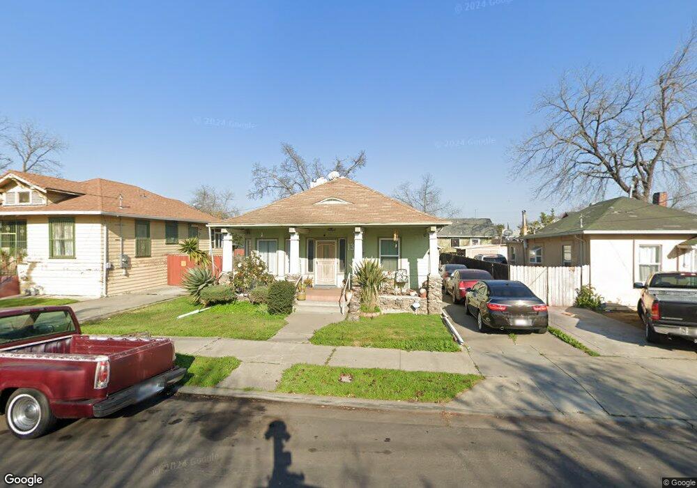
1333 E Poplar St Stockton, CA 95205
Downtown Stockton NeighborhoodEstimated Value: $263,000 - $328,000
2
Beds
1
Bath
1,000
Sq Ft
$299/Sq Ft
Est. Value
About This Home
This home is located at 1333 E Poplar St, Stockton, CA 95205 and is currently estimated at $298,849, approximately $298 per square foot. 1333 E Poplar St is a home located in San Joaquin County with nearby schools including John C. Fremont Elementary School, Fillmore Elementary School, and King Elementary School.
Ownership History
Date
Name
Owned For
Owner Type
Purchase Details
Closed on
Aug 23, 2023
Sold by
Vallejo Shirley C
Bought by
Vallejo Living Trust and Vallejo
Current Estimated Value
Purchase Details
Closed on
Jun 20, 1994
Sold by
Vallejo Ernest R
Bought by
Vallejo Ernest R and Vallejo Shirley C
Home Financials for this Owner
Home Financials are based on the most recent Mortgage that was taken out on this home.
Original Mortgage
$30,000
Interest Rate
8.83%
Create a Home Valuation Report for This Property
The Home Valuation Report is an in-depth analysis detailing your home's value as well as a comparison with similar homes in the area
Home Values in the Area
Average Home Value in this Area
Purchase History
| Date | Buyer | Sale Price | Title Company |
|---|---|---|---|
| Vallejo Living Trust | -- | None Listed On Document | |
| Vallejo Ernest R | -- | -- |
Source: Public Records
Mortgage History
| Date | Status | Borrower | Loan Amount |
|---|---|---|---|
| Previous Owner | Vallejo Ernest R | $30,000 |
Source: Public Records
Tax History Compared to Growth
Tax History
| Year | Tax Paid | Tax Assessment Tax Assessment Total Assessment is a certain percentage of the fair market value that is determined by local assessors to be the total taxable value of land and additions on the property. | Land | Improvement |
|---|---|---|---|---|
| 2025 | $964 | $81,022 | $21,086 | $59,936 |
| 2024 | $947 | $79,434 | $20,673 | $58,761 |
| 2023 | $924 | $77,877 | $20,268 | $57,609 |
| 2022 | $885 | $76,351 | $19,871 | $56,480 |
| 2021 | $849 | $74,855 | $19,482 | $55,373 |
| 2020 | $864 | $74,089 | $19,283 | $54,806 |
| 2019 | $859 | $72,637 | $18,905 | $53,732 |
| 2018 | $842 | $71,214 | $18,535 | $52,679 |
| 2017 | $796 | $69,819 | $18,172 | $51,647 |
| 2016 | $808 | $68,450 | $17,816 | $50,634 |
| 2014 | $768 | $66,102 | $17,205 | $48,897 |
Source: Public Records
Map
Nearby Homes
- 1037 N Airport Way
- 644 N Airport Way
- 1143 E Park St
- 1123 E Park St
- 1135 N Pilgrim St
- 1155 N Pilgrim St
- 1272 N Airport Way
- 1813 E Anita St
- 1926 E Roosevelt St
- 1845 E Poplar St
- 1804 E Flora St
- 1916 Vicki Ln
- 1932 Vicki Ln
- 1200 E Miner Ave
- 1257 Sunnyside Ave
- 1902 E Harding Way
- 328 Florence St
- 312 Florence St
- 1620 Sycamore Ave
- 548 E Park St
- 1337 E Poplar St
- 1325 E Poplar St
- 921 N Sierra Nevada St
- 1315 E Poplar St
- 905 N Sierra Nevada St
- 924 N Airport Way
- 935 N Sierra Nevada St
- 1303 E Poplar St
- 1332 E Poplar St
- 928 N Airport Way
- 1336 E Poplar St
- 1320 E Poplar St
- 1326 E Acacia St
- 1314 E Poplar St
- 1336 E Acacia St
- 1320 E Acacia St
- 842 N Airport Way
- 1316 E Acacia St
- 945 N Sierra Nevada St
- 920 N Sierra Nevada St