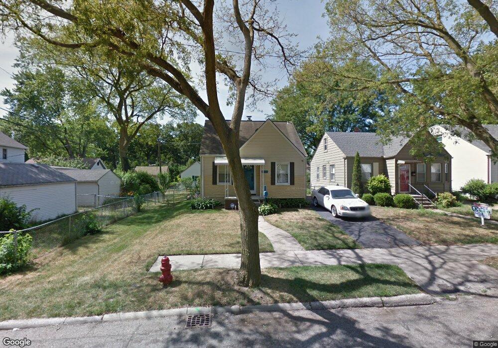
1333 Fielding St Ferndale, MI 48220
Estimated Value: $213,998 - $246,000
3
Beds
1
Bath
863
Sq Ft
$270/Sq Ft
Est. Value
About This Home
This home is located at 1333 Fielding St, Ferndale, MI 48220 and is currently estimated at $233,250, approximately $270 per square foot. 1333 Fielding St is a home located in Oakland County with nearby schools including Ferndale Lower Elementary Campus, Ferndale Upper Elementary Campus, and Ferndale Middle School.
Ownership History
Date
Name
Owned For
Owner Type
Purchase Details
Closed on
Jun 28, 2013
Sold by
Garrett Austin Acquisitions & Developmen
Bought by
Uran Jeremy M
Current Estimated Value
Purchase Details
Closed on
Sep 7, 2011
Sold by
Eh Pooled 611 Lp
Bought by
Garrett Austin Acquisitions & Developmen
Purchase Details
Closed on
Aug 17, 2011
Sold by
U S Bank N A
Bought by
Eh Pooled 611 Lp
Purchase Details
Closed on
Nov 9, 2010
Sold by
Doom James C and Doom Brenda L
Bought by
U S Bank N A
Create a Home Valuation Report for This Property
The Home Valuation Report is an in-depth analysis detailing your home's value as well as a comparison with similar homes in the area
Home Values in the Area
Average Home Value in this Area
Purchase History
| Date | Buyer | Sale Price | Title Company |
|---|---|---|---|
| Uran Jeremy M | $65,000 | None Available | |
| Garrett Austin Acquisitions & Developmen | $23,405 | None Available | |
| Eh Pooled 611 Lp | -- | None Available | |
| U S Bank N A | $104,482 | None Available |
Source: Public Records
Tax History Compared to Growth
Tax History
| Year | Tax Paid | Tax Assessment Tax Assessment Total Assessment is a certain percentage of the fair market value that is determined by local assessors to be the total taxable value of land and additions on the property. | Land | Improvement |
|---|---|---|---|---|
| 2024 | $1,982 | $97,660 | $0 | $0 |
| 2023 | $1,921 | $92,660 | $0 | $0 |
| 2022 | $1,926 | $85,700 | $0 | $0 |
| 2021 | $1,937 | $73,970 | $0 | $0 |
| 2020 | $1,839 | $63,730 | $0 | $0 |
| 2019 | $1,868 | $55,220 | $0 | $0 |
| 2018 | $1,874 | $48,310 | $0 | $0 |
| 2017 | $1,851 | $43,260 | $0 | $0 |
| 2016 | $1,824 | $36,710 | $0 | $0 |
| 2015 | -- | $34,950 | $0 | $0 |
| 2014 | -- | $30,470 | $0 | $0 |
| 2011 | -- | $42,130 | $0 | $0 |
Source: Public Records
Map
Nearby Homes
- 768 Pinecrest Dr
- 695 Livernois St
- 832 Pinecrest Dr
- 21078 Mitchelldale Ave
- 591 Parkside Way Unit 16
- 20401 Santa Rosa Dr
- 20235 Prairie St
- 20235 San Juan Dr
- 20805 Bethlawn Blvd
- 21392 Bethlawn Blvd
- 20174 San Juan Dr
- 20200 Woodingham Dr
- 20441 Gardendale St
- 860 Gardendale St
- 21036 Westview Ave
- 20145 Santa Barbara Dr
- 20501 Northlawn St
- 21341 Reimanville Ave
- 20115 Santa Barbara Dr
- 20504 Cherrylawn St
- 1339 Fielding St
- 1345 Fielding St
- 415 Kensington Ave
- 427 Kensington Ave
- 1355 Fielding St
- 1363 Fielding St
- 1340 Marie St
- 1350 Marie St
- 403 Kensington Ave
- 1370 Marie St
- 1334 Marie St
- 1334 Fielding St
- 449 Kensington Ave
- 1348 Fielding St
- 1340 Fielding St Unit Bldg-Unit
- 1340 Fielding St
- 1356 Fielding St
- 1380 Marie St
- 1385 Fielding St
- 1400 Marie St