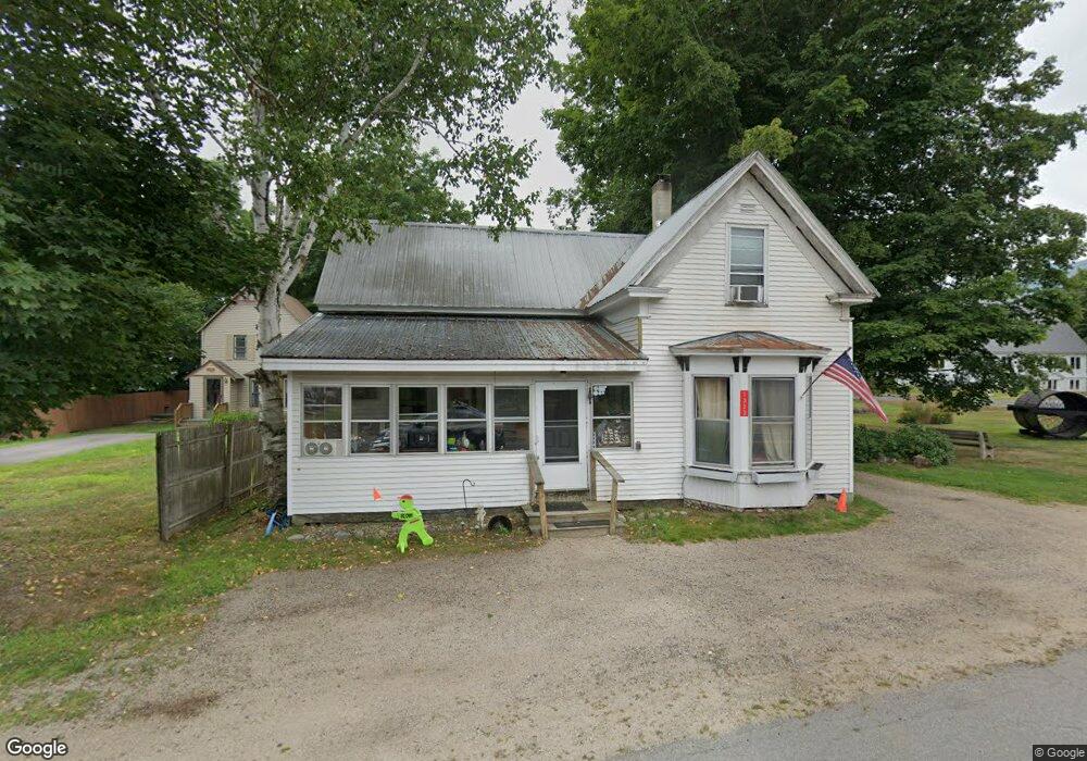
1333 Us Route 302 Harts Location, NH 03812
Estimated Value: $240,000 - $425,000
4
Beds
1
Bath
1,268
Sq Ft
$262/Sq Ft
Est. Value
About This Home
This home is located at 1333 Us Route 302, Harts Location, NH 03812 and is currently estimated at $331,882, approximately $261 per square foot. 1333 Us Route 302 is a home located in Carroll County with nearby schools including Josiah Bartlett Elementary School.
Ownership History
Date
Name
Owned For
Owner Type
Purchase Details
Closed on
Apr 29, 2022
Sold by
Laffin Christine L
Bought by
Bouchie Thomas and Sanborn Brittany
Current Estimated Value
Purchase Details
Closed on
Jan 8, 2010
Sold by
Ainsworth James W and Hartwell Barbara J
Bought by
Laffin Christine L
Home Financials for this Owner
Home Financials are based on the most recent Mortgage that was taken out on this home.
Original Mortgage
$109,183
Interest Rate
4.78%
Mortgage Type
Purchase Money Mortgage
Create a Home Valuation Report for This Property
The Home Valuation Report is an in-depth analysis detailing your home's value as well as a comparison with similar homes in the area
Home Values in the Area
Average Home Value in this Area
Purchase History
| Date | Buyer | Sale Price | Title Company |
|---|---|---|---|
| Bouchie Thomas | $155,000 | None Available | |
| Laffin Christine L | $107,000 | -- |
Source: Public Records
Mortgage History
| Date | Status | Borrower | Loan Amount |
|---|---|---|---|
| Previous Owner | Laffin Christine L | $109,183 |
Source: Public Records
Tax History Compared to Growth
Tax History
| Year | Tax Paid | Tax Assessment Tax Assessment Total Assessment is a certain percentage of the fair market value that is determined by local assessors to be the total taxable value of land and additions on the property. | Land | Improvement |
|---|---|---|---|---|
| 2024 | $1,311 | $235,000 | $64,000 | $171,000 |
| 2023 | $1,213 | $235,000 | $64,000 | $171,000 |
| 2022 | $1,168 | $235,000 | $64,000 | $171,000 |
| 2021 | $1,339 | $140,500 | $42,800 | $97,700 |
| 2020 | $1,357 | $140,500 | $42,800 | $97,700 |
| 2019 | $1,312 | $140,500 | $42,800 | $97,700 |
| 2018 | $1,283 | $140,500 | $42,800 | $97,700 |
| 2016 | $1,128 | $118,700 | $30,000 | $88,700 |
| 2015 | $1,132 | $118,700 | $30,000 | $88,700 |
| 2014 | $1,162 | $118,700 | $30,000 | $88,700 |
| 2010 | $1,235 | $135,000 | $39,000 | $96,000 |
Source: Public Records
Map
Nearby Homes
- 114 Cobb Farm Rd
- 0 U S 302 Unit 1 and 2 5003976
- 0 Parker Ridge Rd Unit 47 5058947
- 30 Parker Ridge Rd
- 83 Parker Ridge Rd
- 12 Forest Ave
- F4 Cave Mountain Rd
- 53 Saco Ridge Rd
- 1331 Us Rte 302
- 70 River St
- 19 Hill & Vale Ln Unit 19
- 00 Tall Woods Loop Unit 9
- 4 Mountainside at Attitash Rd
- 8 River Run Dr Unit G
- 6S River Run Dr
- 2E/F River Run Dr Unit E/F
- 461 Jericho Rd
- 46 Ammonoosuc Dr
- 53 Ammonoosuc Dr
- 30 Top Notch Rd Unit 30
- 1327 Us Route 302
- 1717 Crawford Notch Rd
- 1343 Us Route 302
- 1748 Us Route 302
- 1714 Us Route 302
- 1669 Crawford Notch Rd
- 1668 Us Route 302
- 1729 Crawford Notch Rd
- 21 Wiles Rd
- 1361 Us Route 302
- 36 Wiles Rd
- 381 Cobb Farm Rd
- 1649 Crawford Notch Rd
- 51 Wiles Rd
- 377 Cobb Farm Rd
- 468 Cobb Farm Rd
- 480 Cobb Farm Rd
- 489 Cobb Farm Rd
- 45 Wiles Rd
- 494 Cobb Farm Rd