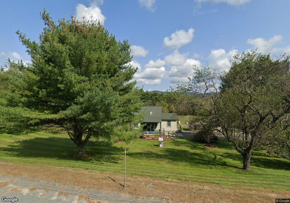
1333 Us Route 4 Canaan, NH 03741
Estimated Value: $399,077 - $433,000
3
Beds
1
Bath
1,848
Sq Ft
$221/Sq Ft
Est. Value
About This Home
This home is located at 1333 Us Route 4, Canaan, NH 03741 and is currently estimated at $408,269, approximately $220 per square foot. 1333 Us Route 4 is a home located in Grafton County with nearby schools including Canaan Elementary School, Indian River School, and Mascoma Valley Regional High School.
Ownership History
Date
Name
Owned For
Owner Type
Purchase Details
Closed on
Sep 16, 2025
Sold by
Lashua Linda E Est and Davis
Bought by
Barton Jennifer M
Current Estimated Value
Home Financials for this Owner
Home Financials are based on the most recent Mortgage that was taken out on this home.
Original Mortgage
$360,000
Outstanding Balance
$359,375
Interest Rate
6.72%
Mortgage Type
New Conventional
Estimated Equity
$48,894
Create a Home Valuation Report for This Property
The Home Valuation Report is an in-depth analysis detailing your home's value as well as a comparison with similar homes in the area
Home Values in the Area
Average Home Value in this Area
Purchase History
| Date | Buyer | Sale Price | Title Company |
|---|---|---|---|
| Barton Jennifer M | $400,000 | -- | |
| Barton Jennifer M | $400,000 | -- |
Source: Public Records
Mortgage History
| Date | Status | Borrower | Loan Amount |
|---|---|---|---|
| Open | Barton Jennifer M | $360,000 | |
| Closed | Barton Jennifer M | $360,000 |
Source: Public Records
Tax History Compared to Growth
Tax History
| Year | Tax Paid | Tax Assessment Tax Assessment Total Assessment is a certain percentage of the fair market value that is determined by local assessors to be the total taxable value of land and additions on the property. | Land | Improvement |
|---|---|---|---|---|
| 2024 | $6,650 | $225,200 | $81,800 | $143,400 |
| 2023 | $6,114 | $225,200 | $81,800 | $143,400 |
| 2022 | $6,114 | $225,200 | $81,800 | $143,400 |
| 2021 | $6,013 | $225,200 | $81,800 | $143,400 |
| 2020 | $6,508 | $189,200 | $56,600 | $132,600 |
| 2019 | $6,230 | $189,200 | $56,600 | $132,600 |
| 2018 | $6,105 | $189,200 | $56,600 | $132,600 |
| 2017 | $6,007 | $189,200 | $56,600 | $132,600 |
| 2016 | $5,954 | $189,200 | $56,600 | $132,600 |
| 2015 | $5,209 | $172,100 | $44,400 | $127,700 |
| 2014 | $4,631 | $165,800 | $44,400 | $121,400 |
| 2013 | $4,173 | $165,800 | $44,400 | $121,400 |
Source: Public Records
Map
Nearby Homes
- 47 Nh Route 118
- 35 Canaan St
- 0 US Route 4 Unit 34 5038886
- 0 US Route 4 Unit 94
- 33 Bruce Rd
- 242 Jerusalem Rd
- 0 Potato Rd Unit 75A
- lot 9 Strawbrook Ln
- 00 Canaan St Unit 39B
- 00 Canaan St Unit 39A
- 9 Dove Ln
- 532 Canaan St
- 613 New Hampshire 118
- 21 Northwood Estates
- 1164 Main St
- 232 Kilton Pond Rd
- 41 Lunar Dr
- 27 Lunar Dr
- 25 Rogers Way
- 132 Stevens Rd
- 1325 Us Route 4
- 1323 Us Route 4
- 1324 Us Route 4
- 1319 Us Route 4
- 1313 Us Route 4
- 1320 Us Route 4
- 1344 Us Route 4
- 1311 Us Route 4
- 1349 Us Route 4
- 19 Ball Park Rd
- 1355 Us Route 4
- 1356 U S 4
- 1302 Us Route 4
- 1360 Us Route 4
- 1306 U S 4
- 1306 Us Route 4
- 1367 Us Route 4
- 1370 Us Route 4
- 1290 Us Route 4
- 1378 Us Route 4