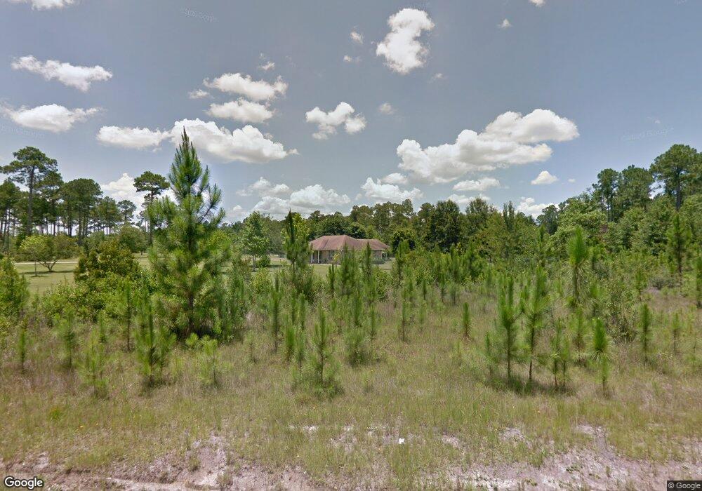
13330 Jim Ramsay Rd Vancleave, MS 39565
Estimated Value: $256,121 - $655,000
--
Bed
2
Baths
1,792
Sq Ft
$208/Sq Ft
Est. Value
About This Home
This home is located at 13330 Jim Ramsay Rd, Vancleave, MS 39565 and is currently estimated at $372,030, approximately $207 per square foot. 13330 Jim Ramsay Rd is a home located in Jackson County with nearby schools including St Martin East Elementary School, St Martin North Elementary School, and St Martin Upper Elementary School.
Ownership History
Date
Name
Owned For
Owner Type
Purchase Details
Closed on
Dec 14, 2020
Sold by
Lanoue Gerard and Lanoue Robin A
Bought by
Reaux Ryan W and Reaux Katherine D
Current Estimated Value
Home Financials for this Owner
Home Financials are based on the most recent Mortgage that was taken out on this home.
Original Mortgage
$150,000
Outstanding Balance
$133,545
Interest Rate
2.7%
Mortgage Type
New Conventional
Estimated Equity
$238,485
Create a Home Valuation Report for This Property
The Home Valuation Report is an in-depth analysis detailing your home's value as well as a comparison with similar homes in the area
Home Values in the Area
Average Home Value in this Area
Purchase History
| Date | Buyer | Sale Price | Title Company |
|---|---|---|---|
| Reaux Ryan W | -- | None Available |
Source: Public Records
Mortgage History
| Date | Status | Borrower | Loan Amount |
|---|---|---|---|
| Open | Reaux Ryan W | $150,000 |
Source: Public Records
Tax History Compared to Growth
Tax History
| Year | Tax Paid | Tax Assessment Tax Assessment Total Assessment is a certain percentage of the fair market value that is determined by local assessors to be the total taxable value of land and additions on the property. | Land | Improvement |
|---|---|---|---|---|
| 2024 | $1,415 | $14,285 | $4,000 | $10,285 |
| 2023 | $1,415 | $14,203 | $4,000 | $10,203 |
| 2022 | $1,357 | $14,203 | $4,000 | $10,203 |
| 2021 | $1,364 | $14,276 | $4,000 | $10,276 |
| 2020 | $1,134 | $11,869 | $3,073 | $8,796 |
| 2019 | $1,118 | $11,869 | $3,073 | $8,796 |
| 2018 | $1,146 | $11,869 | $3,073 | $8,796 |
| 2017 | $1,170 | $11,869 | $3,073 | $8,796 |
| 2016 | $1,112 | $11,869 | $3,073 | $8,796 |
| 2015 | $935 | $103,290 | $22,280 | $81,010 |
| 2014 | $947 | $10,619 | $2,228 | $8,391 |
| 2013 | $906 | $10,619 | $2,228 | $8,391 |
Source: Public Records
Map
Nearby Homes
- 0 Wescovich Rd
- 13809 Briarwood Dr
- 13601 Virginia St
- 0 Maple Cove
- 14342 Oak View Cir
- 0 Muszar Ln
- 13221 Sunview Cove
- 14920 Pine Blvd
- 0 Joe Batt Rd
- 12575 Joe Batt Rd
- 13521 Sarus Dr
- 13529 Sarus Dr
- 13505 Sarus Dr
- 13509 Sarus Dr
- 13517 Sarus Dr
- The Camden Plan at Crane Landing
- The Jasmine Plan at Crane Landing
- The Destin Plan at Crane Landing
- The Hawthorne Plan at Crane Landing
- The Holly Plan at Crane Landing
- 13344 Jim Ramsay Rd
- 13300 Jim Ramsay Rd
- 13400 Jim Ramsay Rd
- 13236 Jim Ramsay Rd
- 13339 Jim Ramsay Rd
- 11712 Jordan Rd
- 11624 Jordan Rd
- 13224 Jim Ramsay Rd
- 0 Jim Ramsay Cutoff Rd Unit 3297644
- 11600 Jordan Rd
- 13232 Jim Ramsay Rd
- 13480 Jim Ramsay Rd
- 13208 Jim Ramsay Rd
- 13216 Jim Ramsay Rd
- 13501 Jim Ramsay Rd
- 11528 Jordan Rd
- 12028 Jim Ramsay Cutoff Rd
- 11508 Jordan Rd
- 13212 Jim Ramsay Rd
- 11500 Jordan Rd