Estimated Value: $982,075 - $1,163,000
5
Beds
2
Baths
1,944
Sq Ft
$543/Sq Ft
Est. Value
About This Home
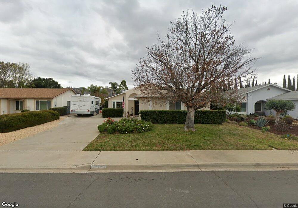
This home is located at 13331 Montego Dr, Poway, CA 92064 and is currently estimated at $1,056,269, approximately $543 per square foot. 13331 Montego Dr is a home located in San Diego County with nearby schools including Garden Road Elementary, Twin Peaks Middle, and Poway High.
Ownership History
Date
Name
Owned For
Owner Type
Purchase Details
Closed on
Jun 15, 2006
Sold by
Armstrong William Wilbur and Armstrong Nancy Louise
Bought by
Armstrong William W and Armstrong Nancy L
Current Estimated Value
Home Financials for this Owner
Home Financials are based on the most recent Mortgage that was taken out on this home.
Original Mortgage
$40,000
Interest Rate
6.19%
Mortgage Type
Credit Line Revolving
Purchase Details
Closed on
Mar 1, 2001
Sold by
Armstrong William W and Armstrong Nancy L
Bought by
The Armstrong Family Trust
Create a Home Valuation Report for This Property
The Home Valuation Report is an in-depth analysis detailing your home's value as well as a comparison with similar homes in the area
Home Values in the Area
Average Home Value in this Area
Purchase History
| Date | Buyer | Sale Price | Title Company |
|---|---|---|---|
| Armstrong William W | -- | First American Title Ins Co | |
| The Armstrong Family Trust | -- | -- |
Source: Public Records
Mortgage History
| Date | Status | Borrower | Loan Amount |
|---|---|---|---|
| Closed | Armstrong William W | $40,000 |
Source: Public Records
Tax History
| Year | Tax Paid | Tax Assessment Tax Assessment Total Assessment is a certain percentage of the fair market value that is determined by local assessors to be the total taxable value of land and additions on the property. | Land | Improvement |
|---|---|---|---|---|
| 2025 | $1,015 | $90,271 | $22,839 | $67,432 |
| 2024 | $1,015 | $88,502 | $22,392 | $66,110 |
| 2023 | $993 | $86,767 | $21,953 | $64,814 |
| 2022 | $976 | $85,067 | $21,523 | $63,544 |
| 2021 | $963 | $83,400 | $21,101 | $62,299 |
| 2020 | $950 | $82,546 | $20,885 | $61,661 |
| 2019 | $927 | $80,928 | $20,476 | $60,452 |
| 2018 | $901 | $79,342 | $20,075 | $59,267 |
| 2017 | $877 | $77,787 | $19,682 | $58,105 |
| 2016 | $858 | $76,263 | $19,297 | $56,966 |
| 2015 | $845 | $75,119 | $19,008 | $56,111 |
| 2014 | $827 | $73,648 | $18,636 | $55,012 |
Source: Public Records
Map
Nearby Homes
- 13419 Sebago Ave
- 14610 Fairburn St
- 14118 Ipava Dr
- 13746 Paseo Bonita
- 000 Carlson Ct 9 Unit 9
- 14003 Jasmine Ave Unit 193
- 14089 Pomegranate Ave Unit 214
- 13908 Hibiscus Ave Unit 40
- 13941 Wisteria Ave
- 13716 Midland Rd
- 13947 Midland Rd
- 13850 Midgrove Ct
- 13619 Sycamore Tree Ln
- 13329 Casa Vista St Unit 98
- 0 Indian Springs Rd Unit NDP2602071
- 12959 Creek Park Dr
- 13220 Dana Vista St Unit 114
- 13230 Creekside Ln
- 13650 Mulberry Tree Ct Unit 167
- 13314 Buena Vista Unit 71
- 13325 Montego Dr
- 13337 Montego Dr
- 13343 Montego Dr
- 13318 Neddick Ave
- 13320 Neddick Ave
- 13316 Neddick Ave
- 13305 Racquet Ct
- 14336 Garden Rd
- 13349 Montego Dr
- 13334 Montego Dr
- 14338 Garden Rd
- 13340 Montego Dr
- 13350 Neddick Ave
- 13311 Racquet Ct
- 13355 Montego Dr
- 13346 Montego Dr
- 13314 Neddick Ave
- 13304 Racquet Ct
- 13356 Neddick Ave
- 13333 Racquet Ct
Your Personal Tour Guide
Ask me questions while you tour the home.